Boynton in the Domesday Book (1086)
The settlement of Boynton is recorded in William I’s Domesday survey of 1086, entered under the hundred of Hunthow in Yorkshire. The survey assessed Boynton at 0.2 carucates of taxable land.
The survey records Boynton’s value at 0d in 1086. No pre-Conquest figure survives – not unusual in the North, where records were disrupted by the Harrying and by the patchy coverage of the survey.
The Domesday survey records Boynton as waste - uninhabited and unproductive. In Yorkshire, this designation most often reflects the Harrying of the North of 1069–70, when William I’s forces destroyed crops, livestock, and communities across the county to crush rebellion. Whether Boynton recovered in subsequent decades is not recorded.
Other Settlements in Hunthow
- Auburn
- Bempton
- Bessingby
- Boynton [Hall]
- Bridlington
- Buckton
- Easton
- Flamborough
- Flixton
- Foxholes
- Fraisthorpe
- Grindale
- Hilderthorpe
- Marton
The Meaning of the Name
The name Boynton is of Anglo-Saxon origin. Its final element derives from the Old English word tūn, a farmstead or village. The first element is most likely a personal name or an early descriptive term, now difficult to recover with certainty. Taken together the name probably meant something close to ‘a farmstead’.
Remarkably, the name has changed little since 1086, when the Domesday scribes wrote it as Boynton.
Listed Buildings Near Boynton
Historic England records 18 listed buildings within about a mile of Boynton. Listing protects structures of special architectural or historic interest, graded I (exceptional), II* (particularly important) and II.
Grade I
- Boynton Hall - 0.37 km
- Church of St Andrew - 0.5 km
Grade II*
- Garden House at Boynton Hall - 0.29 km
Grade II
- Outbuilding About 20 Metres West of Garden House at Boynton Hall - 0.27 km
- Bridge Approximately 85 Metres West of Boynton Hall - 0.32 km
- Gatepiers Approximately 50 Metres South-west of Boynton Hall - 0.36 km
- Pigeon House at Boynton Hall - 0.37 km
- Offices Adjoining Boynton Hall to Left - 0.38 km
- Dairy at Boynton Hall - 0.38 km
- Lodge to Boynton Hall - 0.47 km
- Gatepiers to Boynton Hall - 0.49 km
- Vicarage, Approximately 40 Metres to North of Church of St Andrew - 0.53 km
- Stable Block to Former Vicarage, Approximately 60 Metres North of Church of St Andrew - 0.56 km
- West Lawn Farmhouse and Barn Adjoining to North - 0.67 km
- Woollen Manufactory Approximately 400 Metres North East of Boynton Hall - 0.67 km
- Fond Brig - 0.9 km
- Carnaby Temple - 0.97 km
- 19, Grindale Road - 1.02 km
Scheduled Monuments Near Boynton
Scheduled monuments are nationally important archaeological sites given legal protection. 2 lie within roughly a mile of Boynton:
- Sands Wood round barrow - 0.99 km
- Settlement site at Boynton Hall - 1.01 km
Boynton Today
Today Boynton lies within the administrative area of East Riding of Yorkshire, and the settlement recorded a population of 147 at the 2021 census. Nine and a half centuries separate that figure from the small rural community the Domesday survey recorded here in 1086.
Read more about modern Boynton on Wikipedia .
Nearby Domesday Settlements
Other places recorded in the 1086 survey within a few miles:
- Boynton Hall - 0.0 km N
- Low Caythorpe - 2.0 km W
- Easton - 2.2 km NE
- Thorpe Hall - 2.2 km NW
- Carnaby - 2.2 km SE
- Bessingby - 2.8 km SE
Heritage Around Boynton
Photographs of churches, listed buildings and monuments in the vicinity, contributed by volunteers to the Geograph project and reused here under a Creative Commons licence.
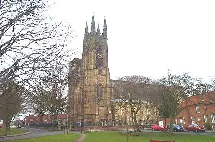
© Bill Henderson · Geograph · CC BY-SA 2.0
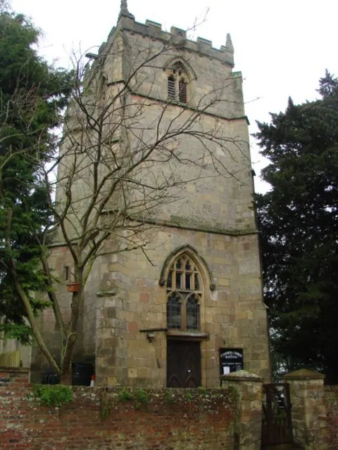
© Bill Henderson · Geograph · CC BY-SA 2.0
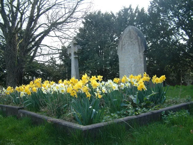
© JThomas · Geograph · CC BY-SA 2.0
Images © their respective photographers, licensed under CC BY-SA 2.0 and reused here with attribution. Photographs depict listed buildings, churches and monuments near this settlement and may show neighbouring villages.
Data derived from the Open Domesday project (opendomesday.org), based on the Domesday Book dataset compiled by Professor J.J.N. Palmer and team. The Domesday Book (1086) is in the public domain.
Found an inaccuracy? [email protected]