Bowling in the Domesday Book (1086)
The 1086 Domesday survey records the settlement of Bowling, entered under the hundred of Morley in Yorkshire.
Other Settlements in Morley
- Allerton
- Armley
- Batley
- Beeston
- Bolton
- Bradford
- Bramley
- Calverley
- Carlton
- Chellow [Grange]
- Clayton
- Clifton
- Cruttonstall
- Dewsbury
The Meaning of the Name
The origin of the name Bowling is not securely established from its modern form alone; like many settlement names in the North it likely combines an Old English or Old Norse personal name with a landscape term.
Remarkably, the name has changed little since 1086, when the Domesday scribes wrote it as Bowling.
Listed Buildings Near Bowling
Historic England records 79 listed buildings within about a mile of Bowling. Listing protects structures of special architectural or historic interest, graded I (exceptional), II* (particularly important) and II.
Grade II*
- Feversham Street First School - 0.64 km
- Behrens Warehouse - 0.91 km
Grade II
- Main Office Building to Premises Occupied by Tanks and Drums Limited - 0.36 km
- The Napoleon Public House - 0.38 km
- Church of St John - 0.65 km
- Former Sion Chapel and Presbytery - 0.87 km
- Barkerend Mills - 0.88 km
- 28, EAST PARADE (See details for further address information) - 0.93 km
- 14, Chapel Street - 0.95 km
- 29 AND 31, EAST PARADE (See details for further address information) - 0.95 km
- Stable Block and Coach House in Yard to Rear of St Peters Chaplaincy - 0.95 km
- St Peters Chaplaincy - 0.95 km
- 16, CHAPEL STREET (See details for further address information) - 0.96 km
- 20-28, Chapel Street - 0.96 km
- 30, Chapel Street - 0.96 km
- Caspian House - 0.96 km
- 36, CHAPEL STREET (See details for further address information) - 0.97 km
- 40, Chapel Street - 0.97 km
- 2-8, Billingsly Terrace - 0.97 km
- 10 and 12, Billingsly Terrace - 0.97 km
- Eastbrook Hall - 0.98 km
- 17 and 21 Chapel Street - 0.99 km
- 29, CHAPEL STREET (See details for further address information) - 0.99 km
- 44, Chapel Street - 0.99 km
…and 55 more listed structures in the area.
Bowling Today
Today Bowling lies within the administrative area of Bradford.
Nearby Domesday Settlements
Other places recorded in the 1086 survey within a few miles:
- Bradford - 1.4 km NW
- Wibsey - 2.8 km SW
- North Bierley - 3.0 km S
- Bolton - 3.2 km N
- Pudsey - 4.1 km E
- Eccleshill - 4.1 km N
Heritage Around Bowling
Photographs of churches, listed buildings and monuments in the vicinity, contributed by volunteers to the Geograph project and reused here under a Creative Commons licence.
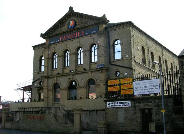
© Betty Longbottom · Geograph · CC BY-SA 2.0
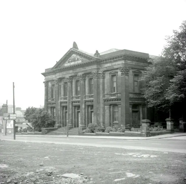
© Alan Longbottom · Geograph · CC BY-SA 2.0
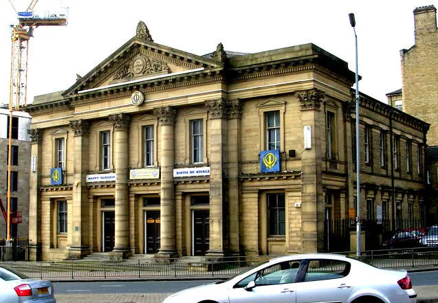
© Betty Longbottom · Geograph · CC BY-SA 2.0
Images © their respective photographers, licensed under CC BY-SA 2.0 and reused here with attribution. Photographs depict listed buildings, churches and monuments near this settlement and may show neighbouring villages.
Data derived from the Open Domesday project (opendomesday.org), based on the Domesday Book dataset compiled by Professor J.J.N. Palmer and team. The Domesday Book (1086) is in the public domain.
Found an inaccuracy? [email protected]