Bowdon in the Domesday Book (1086)
Bowdon appears in the Domesday Book of 1086, entered under the hundred of Tunendune in Cheshire.
Other Settlements in Tunendune
- Alretunstall
- Antrobus
- Baguley
- Chapmonswiche
- Cogshall
- Dutton
- Hale
- Halton
- Knutsford
- Mere
- Middle Aston
- Millington
- Rostherne
- Sinderland
The Meaning of the Name
The name Bowdon is of Anglo-Saxon origin. Its final element derives from the Old English word dūn, a hill. The first element is most likely a personal name or an early descriptive term, now difficult to recover with certainty. Taken together the name probably meant something close to ‘a hill’.
Remarkably, the name has changed little since 1086, when the Domesday scribes wrote it as Bowdon.
Listed Buildings Near Bowdon
Historic England records 41 listed buildings within about a mile of Bowdon. Listing protects structures of special architectural or historic interest, graded I (exceptional), II* (particularly important) and II.
Grade II*
- Church of St Mary the Virgin - 0.46 km
Grade II
- Vale House - 0.32 km
- 30, 32 AND 34, LANGHAM ROAD (See details for further address information) - 0.35 km
- The White Cottage - 0.37 km
- West Bank Farmhouse - 0.38 km
- 7A Bowden Old Forge and 8, 9 and 10 - 0.4 km
- 7, Church Brow - 0.41 km
- 5 and 6, Church Brow - 0.42 km
- Bowdon Old Hall - 0.43 km
- 1, Church Brow - 0.43 km
- Denehill and the Old Vicarage - 0.44 km
- Sundial Post in Graveyard of Church of Saint Mary - 0.44 km
- Piers, Railings and Walls Bounding St Marys Graveyard on West, East and North Sides - 0.47 km
- War Memorial to North East of St Mary’s Church - 0.49 km
- Water Fountain at Junction With Stamford Road - 0.51 km
- The Griffin - 0.51 km
- Erlesdene - 0.52 km
- Scriven House, the Ridge, Adjoining Shop, the Hollies and Farwood - 0.53 km
- Oakley - 0.59 km
- Cransley Summerfield - 0.59 km
- Bowgreen Farmhouse - 0.68 km
- High Lawn - 0.74 km
- Hilston House - 0.82 km
- 16, LANGHAM ROAD (See details for further address information) - 0.84 km
…and 17 more listed structures in the area.
Scheduled Monuments Near Bowdon
Scheduled monuments are nationally important archaeological sites given legal protection. 1 lies within roughly a mile of Bowdon:
Bowdon Today
Today Bowdon lies within the administrative area of Trafford, and the settlement recorded a population of 9,228 at recent figures. Nine and a half centuries separate that figure from the small rural community the Domesday survey recorded here in 1086.
Read more about modern Bowdon on Wikipedia .
Nearby Domesday Settlements
Other places recorded in the 1086 survey within a few miles:
- Hale - 2.0 km E
- Dunham Massey - 2.2 km NW
- Ashley - 2.8 km SE
- Rostherne - 3.2 km S
- Alretunstall - 3.6 km NE
- Millington - 3.6 km SW
Heritage Around Bowdon
Photographs of churches, listed buildings and monuments in the vicinity, contributed by volunteers to the Geograph project and reused here under a Creative Commons licence.
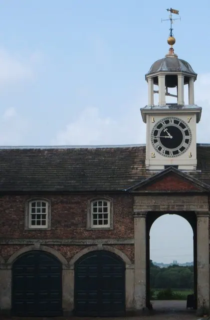
© Peter Barr · Geograph · CC BY-SA 2.0
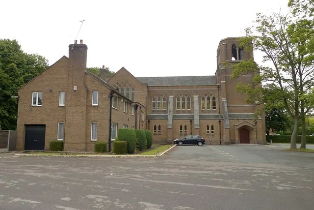
© Anthony O'Neil · Geograph · CC BY-SA 2.0
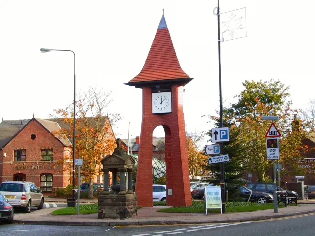
© Roger May · Geograph · CC BY-SA 2.0
Images © their respective photographers, licensed under CC BY-SA 2.0 and reused here with attribution. Photographs depict listed buildings, churches and monuments near this settlement and may show neighbouring villages.
Data derived from the Open Domesday project (opendomesday.org), based on the Domesday Book dataset compiled by Professor J.J.N. Palmer and team. The Domesday Book (1086) is in the public domain.
Found an inaccuracy? [email protected]