Boughton in the Domesday Book (1086)
Boughton appears in the Domesday Book of 1086, entered under the hundred of Duddeston in Cheshire. The survey assessed Boughton at 5 carucates of taxable land.
At the time of the survey, Boughton supported a recorded population of 1 villager, 9 smallholders, working 3 ploughs between them.
The numbers record a sharp fall. Before 1066, Boughton was worth 8 shillings; by 1086 that had dropped to 6 shillings – a fall of 25%. Most Yorkshire villages that lost value on this scale were swept up in the Harrying of the North – William’s scorched-earth campaign of 1069–70.
Resources Recorded at Boughton (1086)
- Churches: 1
- Meadow: 60 acres
Other Settlements in Duddeston
- Bettisfield
- Bickerton
- Bickley
- Broxton
- Burwardestone
- Burwardsley and [Higher] Burwardsley
- Caldecott
- Calvintone
- Cheaveley
- Cholmondeley
- Chowley
- Christleton
- Clutton
- Coddington
The Meaning of the Name
The name Boughton is of Anglo-Saxon origin. Its final element derives from the Old English word tūn, a farmstead or village. The first element is most likely a personal name or an early descriptive term, now difficult to recover with certainty. Taken together the name probably meant something close to ‘a farmstead’.
Remarkably, the name has changed little since 1086, when the Domesday scribes wrote it as Boughton.
Listed Buildings Near Boughton
Historic England records 35 listed buildings within about a mile of Boughton. Listing protects structures of special architectural or historic interest, graded I (exceptional), II* (particularly important) and II.
Grade II*
- Walmoor House - 0.7 km
Grade II
- 31 (Beauford Lodge) and 33 (Douglas House) and front garden walls and gate piers - 0.62 km
- Woodbank - 0.66 km
- Well in Garden 25 Metres South of Walmoor House - 0.69 km
- Heath House, 179 Christleton Road, Chester - 0.75 km
- The Old Glass House - 0.78 km
- Parish Boundary Stone Against Front Wall of Number 60 (The Old Glass House) - 0.79 km
- Boughton Hall - 0.79 km
- Parish Boundary Stone in Front of Number 127 - 0.8 km
- Boughton Lodge and Attached Cottage - 0.85 km
- The Manor House - 0.86 km
- Sewer Vent at Junction With Filkins Lane - 0.88 km
- Greenfield Lock - 0.91 km
- Riverside and Garden Walls - 0.98 km
- Tarvin Road Lock - 1.0 km
- Former Tollhouse at Tarvin Road Lock - 1.0 km
- Tarvin Road Lock Cottage - 1.01 km
- Boughton House - 1.07 km
- Craigside and Garden Walls - 1.07 km
- Canal Bridge Number 122 - 1.11 km
- Milepost 50 Metres East of Boughton Gyratory - 1.11 km
- Ye Gardeners Arms Public House - 1.12 km
- Barrel Well House - 1.16 km
- Cemetery wall of former Leprosy Hospital of St Giles - 1.17 km
…and 11 more listed structures in the area.
Boughton Today
Today Boughton lies within the administrative area of Cheshire West and Chester, and the settlement recorded a population of 5,444 at recent figures. Nine and a half centuries separate that figure from the small rural community the Domesday survey recorded here in 1086.
Read more about modern Boughton on Wikipedia .
Nearby Domesday Settlements
Other places recorded in the 1086 survey within a few miles:
- Netherleigh - 1.0 km W
- Christleton - 1.0 km E
- Redcliff - 1.4 km NW
- Handbridge - 1.4 km SW
- Overleigh - 2.0 km W
- Chester - 2.2 km NW
Heritage Around Boughton
Photographs of churches, listed buildings and monuments in the vicinity, contributed by volunteers to the Geograph project and reused here under a Creative Commons licence.
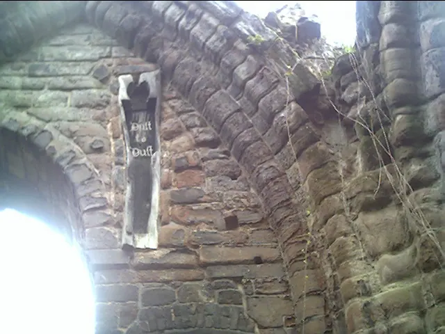
© chestertouristcom · Geograph · CC BY-SA 2.0
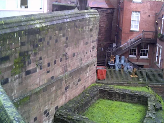
© chestertouristcom · Geograph · CC BY-SA 2.0
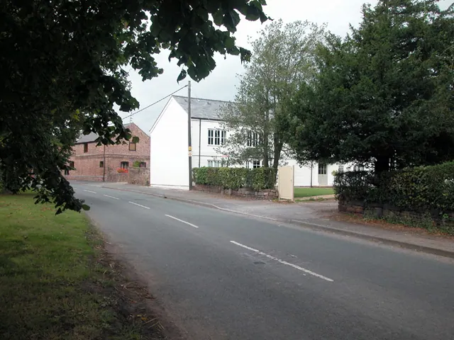
© Dennis Turner · Geograph · CC BY-SA 2.0
Images © their respective photographers, licensed under CC BY-SA 2.0 and reused here with attribution. Photographs depict listed buildings, churches and monuments near this settlement and may show neighbouring villages.
Data derived from the Open Domesday project (opendomesday.org), based on the Domesday Book dataset compiled by Professor J.J.N. Palmer and team. The Domesday Book (1086) is in the public domain.
Found an inaccuracy? [email protected]