Bostock in the Domesday Book (1086)
Bostock is named in the Domesday Book, compiled by Norman commissioners in 1086, entered under the hundred of Middlewich in Cheshire.
Other Settlements in Middlewich
- Alsager
- Brereton
- Byley
- Clive
- Congleton
- Croxton
- Davenham
- Davenport
- Goostrey
- Hassall
- Kinderton
- Lach [Dennis]
- Leftwich
- Middlewich
The Meaning of the Name
The origin of the name Bostock is not securely established from its modern form alone; like many settlement names in the North it likely combines an Old English or Old Norse personal name with a landscape term.
Remarkably, the name has changed little since 1086, when the Domesday scribes wrote it as Bostock.
Listed Buildings Near Bostock
Historic England records 15 listed buildings within about a mile of Bostock. Listing protects structures of special architectural or historic interest, graded I (exceptional), II* (particularly important) and II.
Grade II*
- Whatcroft Hall - 0.56 km
- Bostock Hall - 1.22 km
Grade II
- Trent and Mersey Canal Milepost at Sj 6805 6928 - 0.5 km
- The Smithy - 0.5 km
- North Lodge - 0.62 km
- Bridge Cottage and Canal Cottage - 0.95 km
- Engine House - 1.05 km
- Trent and Mersey Canal Milepost at Sj6832 7024 - 1.06 km
- Farmbuilding With Sipire C80 Metres North of Bostock Hall - 1.07 km
- Former Stable Building C30 Metres North of Bostock Hall - 1.12 km
- Stable Building and Cottage C20 Metres North West of Bostock Hall - 1.15 km
- Water Tower C20 Metres West of Bostock Hall - 1.16 km
- Walls of Walled Garden to North West of Bostock Hall - 1.17 km
- Boat House C80 Metres West of Bostock Hall - 1.2 km
- Gate Piers, Gates and Screen About 70 Metres South West of Bostock Hall - 1.28 km
Bostock Today
Today Bostock lies within the administrative area of Cheshire West and Chester, and the settlement recorded a population of 234 at the 2021 census. Nine and a half centuries separate that figure from the small rural community the Domesday survey recorded here in 1086.
Read more about modern Bostock on Wikipedia .
Nearby Domesday Settlements
Other places recorded in the 1086 survey within a few miles:
Heritage Around Bostock
Photographs of churches, listed buildings and monuments in the vicinity, contributed by volunteers to the Geograph project and reused here under a Creative Commons licence.
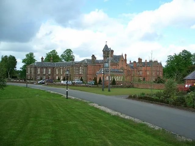
© Steve Leech · Geograph · CC BY-SA 2.0
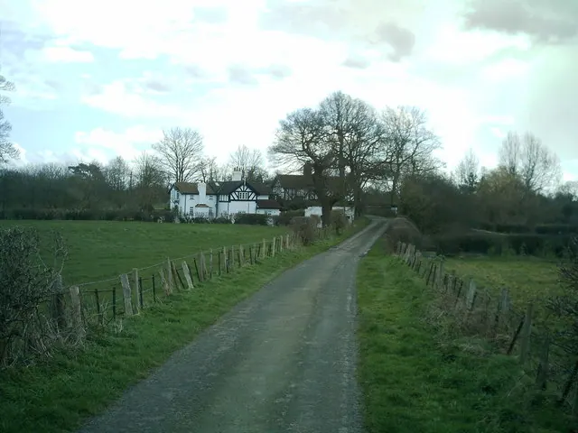
© john mcguire · Geograph · CC BY-SA 2.0
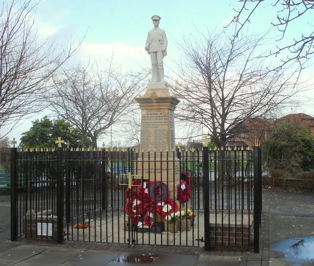
© David Marten · Geograph · CC BY-SA 2.0
Images © their respective photographers, licensed under CC BY-SA 2.0 and reused here with attribution. Photographs depict listed buildings, churches and monuments near this settlement and may show neighbouring villages.
Data derived from the Open Domesday project (opendomesday.org), based on the Domesday Book dataset compiled by Professor J.J.N. Palmer and team. The Domesday Book (1086) is in the public domain.
Found an inaccuracy? [email protected]