Bossall in the Domesday Book (1086)
Bossall appears in the Domesday Book of 1086, entered under the hundred of Bulford in Yorkshire. The survey assessed Bossall at 5 carucates of taxable land.
At the time of the survey, Bossall supported a recorded population of 4 villagers, 7 smallholders, working 4 ploughs between them.
The survey records Bossall’s value at 6 shillings in 1086. No pre-Conquest figure survives – not unusual in the North, where records were disrupted by the Harrying and by the patchy coverage of the survey.
Resources Recorded at Bossall (1086)
- Sheep: 40
- Horses (cobs): 1
- Meadow: 4 * 2 furlongs
- Woodland: 3 * 2 furlongs
Other Settlements in Bulford
- Aldwark
- Alne
- Barnby [House]
- Barton [le Willows]
- Beningbrough
- Brafferton
- Brandsby
- Bulmer
- Buttercrambe
- Carlton [Farm]
- Claxton
- Coneysthorpe
- Corburn
- Cornbrough [House]
The Meaning of the Name
The origin of the name Bossall is not securely established from its modern form alone; like many settlement names in the North it likely combines an Old English or Old Norse personal name with a landscape term.
Remarkably, the name has changed little since 1086, when the Domesday scribes wrote it as Bossall.
Listed Buildings Near Bossall
Historic England records 5 listed buildings within about a mile of Bossall. Listing protects structures of special architectural or historic interest, graded I (exceptional), II* (particularly important) and II.
Grade I
- Church of St Botolph - 0.35 km
Grade II
- Bossall Hall - 0.26 km
- Mount Pleasant Farmhouse - 0.89 km
- Wood House - 0.91 km
- Barnby House Barns - 1.03 km
Scheduled Monuments Near Bossall
Scheduled monuments are nationally important archaeological sites given legal protection. 1 lies within roughly a mile of Bossall:
- Bossall Hall: a quadrangular castle - 0.26 km
Bossall Today
Today Bossall lies within the administrative area of Buttercrambe with Bossall.
Read more about modern Bossall on Wikipedia .
Nearby Domesday Settlements
Other places recorded in the 1086 survey within a few miles:
- Barnby House - 1.0 km E
- Thorpe Hill - 1.0 km S
- Harton - 1.4 km NW
- Scrayingham - 2.0 km E
- Claxton - 2.0 km W
- Howsham - 2.8 km NE
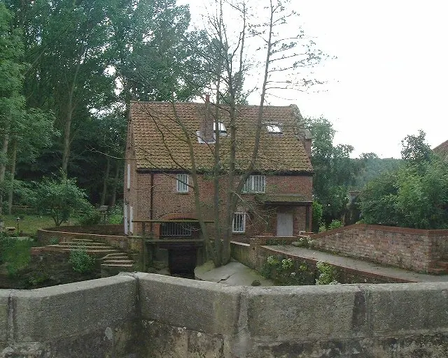
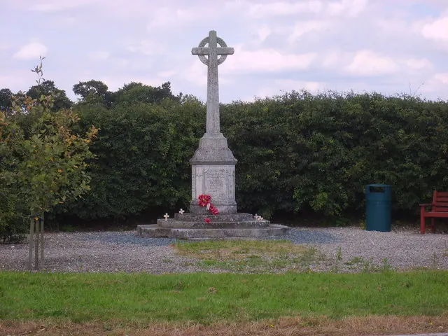
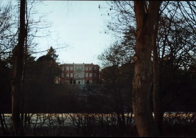
Heritage Around Bossall
Photographs of churches, listed buildings and monuments in the vicinity, contributed by volunteers to the Geograph project and reused here under a Creative Commons licence.
© Andy Kerridge · Geograph · CC BY-SA 2.0
© Sam Kelly · Geograph · CC BY-SA 2.0
© Andy Kerridge · Geograph · CC BY-SA 2.0
Images © their respective photographers, licensed under CC BY-SA 2.0 and reused here with attribution. Photographs depict listed buildings, churches and monuments near this settlement and may show neighbouring villages.
Data derived from the Open Domesday project (opendomesday.org), based on the Domesday Book dataset compiled by Professor J.J.N. Palmer and team. The Domesday Book (1086) is in the public domain.
Found an inaccuracy? [email protected]