Borrowby in the Domesday Book (1086)
Borrowby appears in the Domesday Book of 1086, entered under the hundred of Allerton in Yorkshire.
Other Settlements in Allerton
- Ainderby [Steeple]
- Appleton [Wiske]
- Arncliffe [Hall]
- Birkby
- Brompton
- Cowesby
- Crosby [Grange]
- Dale [Town]
- Deighton
- Ellerbeck
- Foxton
- Girsby
- Hawnby
- Hornby
The Meaning of the Name
The name Borrowby is of Scandinavian origin. Its final element derives from the Old Norse word bý, a farmstead or village. The first element is most likely a personal name or an early descriptive term, now difficult to recover with certainty. Taken together the name probably meant something close to ‘a farmstead’.
Names of this type are a fingerprint of Scandinavian settlement: they cluster across the old Danelaw, where Norse-speaking settlers renamed or founded villages from the late 9th century onward.
Remarkably, the name has changed little since 1086, when the Domesday scribes wrote it as Borrowby.
Listed Buildings Near Borrowby
Historic England records 24 listed buildings within about a mile of Borrowby. Listing protects structures of special architectural or historic interest, graded I (exceptional), II* (particularly important) and II.
Grade II
- Rye House - 0.16 km
- Ivy Farmhouse - 0.19 km
- Prospect House - 0.2 km
- West End Farmhouse - 0.23 km
- Goose Green - 0.25 km
- Post Office and Cottage - 0.25 km
- Fairmount - 0.26 km
- Chapel Cottage - 0.26 km
- K6 Telephone Kiosk (Outside Post Office) - 0.26 km
- Hill Crest - 0.27 km
- Arch House - 0.27 km
- Village Cross - 0.27 km
- Borrowby Farmhouse - 0.31 km
- Barossa Cottage - 0.33 km
- East View - 0.33 km
- Wheatsheaf Inn - 0.34 km
- Borrowby Cottage - 0.36 km
- Grey House - 0.41 km
- Pear Tree Cottage - 0.44 km
- Brittons House - 0.54 km
- South Villa - 0.58 km
- Three Chimneys - 0.59 km
- Borrowby Mill - 0.96 km
- Broad Beck Bridge - 1.01 km
Scheduled Monuments Near Borrowby
Scheduled monuments are nationally important archaeological sites given legal protection. 1 lies within roughly a mile of Borrowby:
- Lime kilns 400m south west of Furlands - 1.35 km
Borrowby Today
Today Borrowby lies within the administrative area of Hambleton, and the settlement recorded a population of 384 at the 2021 census. Nine and a half centuries separate that figure from the small rural community the Domesday survey recorded here in 1086.
Read more about modern Borrowby on Wikipedia .
Nearby Domesday Settlements
Other places recorded in the 1086 survey within a few miles:
- Leake - 1.4 km NE
- Crosby Grange - 2.2 km SW
- Knayton - 2.2 km SE
- Landmoth - 3.0 km N
- Thornton le Beans - 3.2 km W
- Thornton le Street - 3.2 km S
Heritage Around Borrowby
Photographs of churches, listed buildings and monuments in the vicinity, contributed by volunteers to the Geograph project and reused here under a Creative Commons licence.
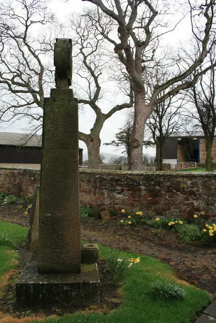
© David Lally · Geograph · CC BY-SA 2.0
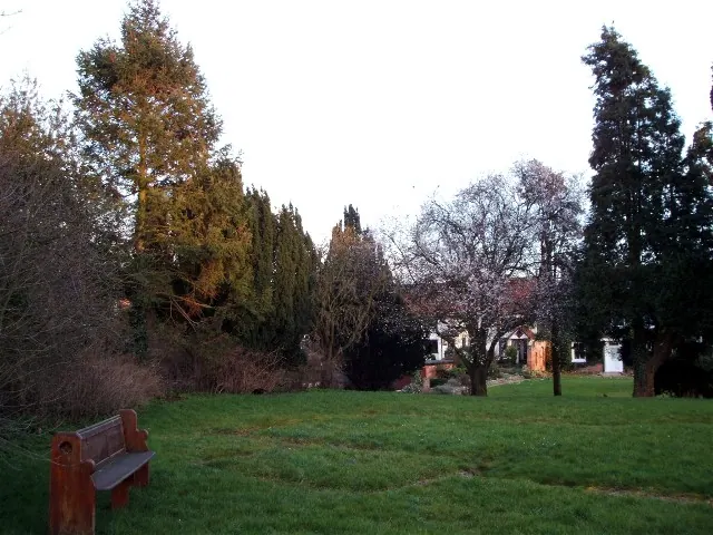
© David Cowling · Geograph · CC BY-SA 2.0
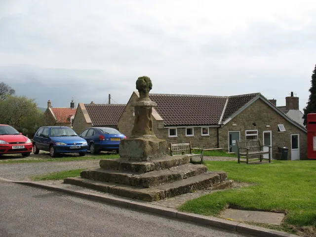
© Gordon Hatton · Geograph · CC BY-SA 2.0
Images © their respective photographers, licensed under CC BY-SA 2.0 and reused here with attribution. Photographs depict listed buildings, churches and monuments near this settlement and may show neighbouring villages.
Data derived from the Open Domesday project (opendomesday.org), based on the Domesday Book dataset compiled by Professor J.J.N. Palmer and team. The Domesday Book (1086) is in the public domain.
Found an inaccuracy? [email protected]