Bonsall in the Domesday Book (1086)
Bonsall is named in the Domesday Book, compiled by Norman commissioners in 1086, entered under the hundred of Hamston in Derbyshire.
Other Settlements in Hamston
- Alsop [-en-le-Dale]
- Ashbourne
- Atlow
- Ballidon
- Bradbourne
- Brassington
- Broadlowash
- Callow
- Carsington
- Cowley
- Cromford
- Elton
- Hanson [Grange]
- Hartington
The Meaning of the Name
The origin of the name Bonsall is not securely established from its modern form alone; like many settlement names in the North it likely combines an Old English or Old Norse personal name with a landscape term.
Remarkably, the name has changed little since 1086, when the Domesday scribes wrote it as Bonsall.
Listed Buildings Near Bonsall
Historic England records 12 listed buildings within about a mile of Bonsall. Listing protects structures of special architectural or historic interest, graded I (exceptional), II* (particularly important) and II.
Grade II*
- Market Cross - 0.36 km
- Parish Church of St James - 0.51 km
Grade II
- Sycamore House - 0.12 km
- Manor House - 0.31 km
- 1, High Street - 0.33 km
- 8 and 10, High Street - 0.34 km
- Bonsall Baptist Church, Attached Railings, Entrance Gatepiers and Boundary Walls - 0.36 km
- Nos 62 (King’s Head Public House) and Nos 64 and 66, Yeoman Street - 0.37 km
- Abbey House - 0.41 km
- Outbuilding Immediately to East of Yew Tree Farmhouse - 0.42 km
- K6 Kiosk Opposite the Barley Mow Public House - 0.43 km
- Yew Tree Farmhouse - 0.43 km
Scheduled Monuments Near Bonsall
Scheduled monuments are nationally important archaeological sites given legal protection. 2 lie within roughly a mile of Bonsall:
- Bowl barrow on Masson Hill - 1.02 km
- Bonsall Leys lead mines - 1.46 km
Bonsall Today
Today Bonsall lies within the administrative area of Derbyshire Dales, and the settlement recorded a population of 776 at the 2021 census. Nine and a half centuries separate that figure from the small rural community the Domesday survey recorded here in 1086.
Read more about modern Bonsall on Wikipedia .
Nearby Domesday Settlements
Other places recorded in the 1086 survey within a few miles:
- Snitterton - 2.0 km N
- Middleton - 2.0 km S
- Matlock - 2.8 km NE
- Matlock Bridge? - 2.8 km NE
- Cromford - 2.8 km SE
- Ivonbrook Grange - 3.0 km W
Heritage Around Bonsall
Photographs of churches, listed buildings and monuments in the vicinity, contributed by volunteers to the Geograph project and reused here under a Creative Commons licence.
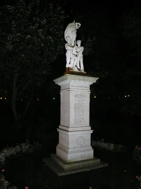
© Alan Heardman · Geograph · CC BY-SA 2.0
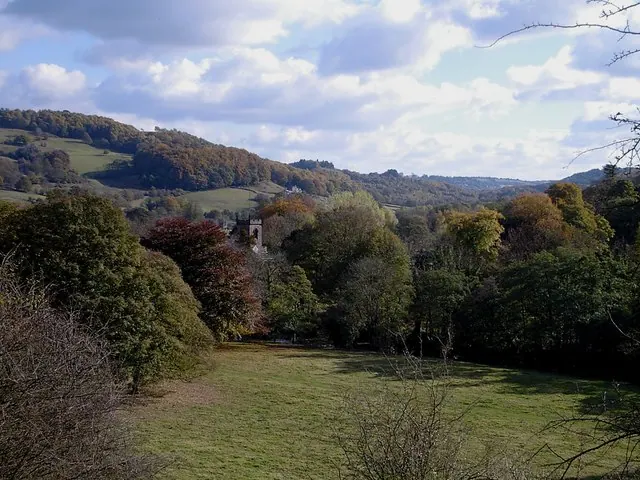
© Dave Bevis · Geograph · CC BY-SA 2.0
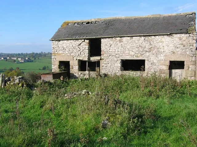
© Nikki Mahadevan · Geograph · CC BY-SA 2.0
Images © their respective photographers, licensed under CC BY-SA 2.0 and reused here with attribution. Photographs depict listed buildings, churches and monuments near this settlement and may show neighbouring villages.
Data derived from the Open Domesday project (opendomesday.org), based on the Domesday Book dataset compiled by Professor J.J.N. Palmer and team. The Domesday Book (1086) is in the public domain.
Found an inaccuracy? [email protected]