Bolton in the Domesday Book (1086)
The settlement of Bolton is recorded in William I’s Domesday survey of 1086, entered under the hundred of Morley in Yorkshire.
Other Settlements in Morley
- Allerton
- Armley
- Batley
- Beeston
- Bowling
- Bradford
- Bramley
- Calverley
- Carlton
- Chellow [Grange]
- Clayton
- Clifton
- Cruttonstall
- Dewsbury
The Meaning of the Name
The name Bolton is of Anglo-Saxon origin. Its final element derives from the Old English word tūn, a farmstead or village. The first element is most likely a personal name or an early descriptive term, now difficult to recover with certainty. Taken together the name probably meant something close to ‘a farmstead’.
Remarkably, the name has changed little since 1086, when the Domesday scribes wrote it as Bolton.
Listed Buildings Near Bolton
Historic England records 26 listed buildings within about a mile of Bolton. Listing protects structures of special architectural or historic interest, graded I (exceptional), II* (particularly important) and II.
Grade II*
- Bolton Old Hall - 0.81 km
- Bolton Old Hall Cottage - 0.82 km
Grade II
- Hodgson Fold Number 14 and Adjoining Barn - 0.32 km
- Hodgson Fold - 0.34 km
- Numbers 17, 18 and Integral Barn to Rear - 0.35 km
- Hodgson Fold - 0.35 km
- Hodgson Fold Barn on Corner of Fold to East of Numbers 11, 12 and 13 - 0.37 km
- Walnut Tree Farmhouse and Walnut Cottage - 0.48 km
- Number 34 and Adjoining Barn to Rear - 0.49 km
- Bolton First School - 0.5 km
- Bolton Road Lodge, Gate Piers and Gates to Peel Park - 0.59 km
- Church of St James - 0.61 km
- Bolton House - 0.72 km
- Former Doorway Re-erected on South Side of Lower Lake, With the Adjoining Section of Wall - 0.74 km
- Statues of Autumn and Spring on Drive, One Approximately 21 Yards to East and One Approximately 96 Yards to West of Statue of Sir Robert Peel - 0.85 km
- Drinking Fountain on East Drive South of Lister Lane - 0.86 km
- Statue of Sir Robert Peel in Exhedra on South Heights - 0.86 km
- Ivy Hall - 0.98 km
- Ivy Place - 1.0 km
- 241 and 243, Idle Road Bd2 - 1.06 km
- Beaumont Memorial Fountain to North of Cliffe Road Lodge - 1.12 km
- Cliffe Road Lodge, Gate Piers and Gates to Peel Park - 1.14 km
- Oakhurst - 1.18 km
- The former Spotted House Public House - 1.26 km
…and 2 more listed structures in the area.
Bolton Today
Today Bolton lies within the administrative area of Bradford.
Nearby Domesday Settlements
Other places recorded in the 1086 survey within a few miles:
- Bradford - 2.0 km S
- Eccleshill - 2.2 km NE
- Shipley - 2.8 km NW
- Bowling - 3.2 km S
- Chellow Grange - 4.0 km W
- Baildon - 4.1 km N
Heritage Around Bolton
Photographs of churches, listed buildings and monuments in the vicinity, contributed by volunteers to the Geograph project and reused here under a Creative Commons licence.
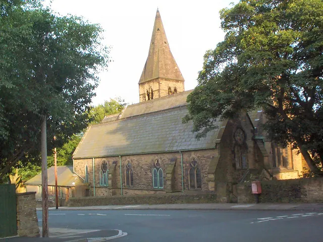
© David Spencer · Geograph · CC BY-SA 2.0
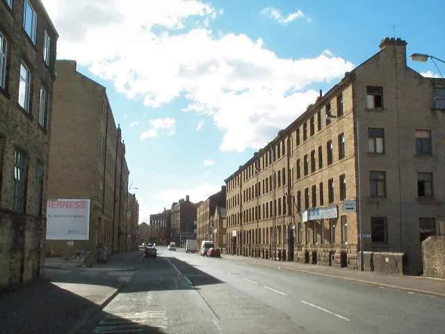
© David Spencer · Geograph · CC BY-SA 2.0
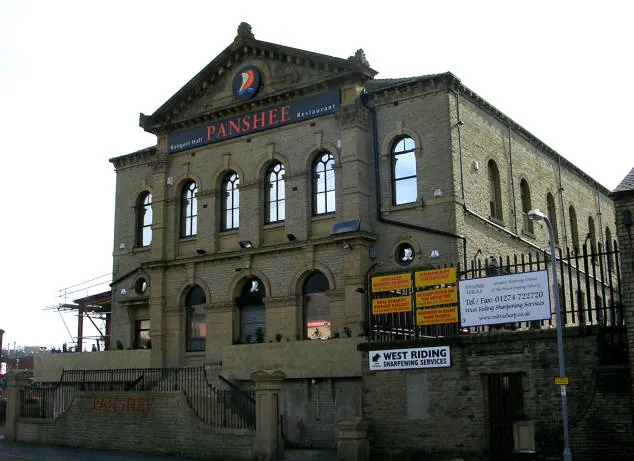
© Betty Longbottom · Geograph · CC BY-SA 2.0
Images © their respective photographers, licensed under CC BY-SA 2.0 and reused here with attribution. Photographs depict listed buildings, churches and monuments near this settlement and may show neighbouring villages.
Data derived from the Open Domesday project (opendomesday.org), based on the Domesday Book dataset compiled by Professor J.J.N. Palmer and team. The Domesday Book (1086) is in the public domain.
Found an inaccuracy? [email protected]