Bolton le Sands in the Domesday Book (1086)
Bolton le Sands appears in the Domesday Book of 1086, entered under the hundred of Amounderness in Yorkshire. The survey assessed Bolton le Sands at 4 carucates of taxable land.
At the time of the survey, Bolton le Sands supported a recorded population of 17 villagers, 9 smallholders, 4 slaves, working 5 ploughs between them.
The survey records Bolton le Sands’s value at 3 shillings in 1086. No pre-Conquest figure survives – not unusual in the North, where records were disrupted by the Harrying and by the patchy coverage of the survey.
Resources Recorded at Bolton le Sands (1086)
- Cattle: 7
- Pigs: 20
- Sheep: 19
- Meadow: 50 acres
- Woodland: 150 acres
Other Settlements in Amounderness
- Aighton
- Aldcliffe
- Aldingham
- Arkholme
- Aschebi
- Ashton [Hall]
- Ashton [on Ribble]
- Austwick
- Barbon
- Bardsea
- Bare
- Barnoldswick
- Barton
- Beetham
The Meaning of the Name
The name Bolton le Sands is of Anglo-Saxon origin. Its final element derives from the Old English word tūn, a farmstead or village. The first element is most likely a personal name or an early descriptive term, now difficult to recover with certainty. Taken together the name probably meant something close to ‘a farmstead’.
Remarkably, the name has changed little since 1086, when the Domesday scribes wrote it as Bolton le Sands.
Listed Buildings Near Bolton le Sands
Historic England records 29 listed buildings within about a mile of Bolton le Sands. Listing protects structures of special architectural or historic interest, graded I (exceptional), II* (particularly important) and II.
Grade II*
- Hawkshead Farmhouse - 0.29 km
- Church of St Michael Holy Trinity - 0.36 km
Grade II
- 9, the Nook - 0.21 km
- Cobblers Lodge - 0.23 km
- 8, the Nook - 0.26 km
- The Original Block at Crosshills School - 0.32 km
- Blue Anchor Hotel - 0.34 km
- Cross Base in St Michael’s Churchyard - 0.34 km
- Church of St Mary - 0.34 km
- Garden Wall to St. Michael’s Lane - 0.36 km
- 60 and 62, Main Road - 0.36 km
- Bolton Lodge - 0.39 km
- Meeting Hall (Former Free Grammar School) - 0.4 km
- St Michael’s Cottage and Hillcroft - 0.42 km
- Darwen House - 0.42 km
- 13, Town End - 0.43 km
- Lancaster Canal Bolton Church Bridge (Number 122) - 0.43 km
- Packet Boat Hotel - 0.5 km
- 7, Town End - 0.51 km
- 6 and 7, Packet Lane - 0.52 km
- 2, Town End - 0.54 km
- Lancaster Canal Bolton Turnpike Bridge (Number 123) - 0.56 km
- Pinfold, 200 Metres South of Junction With Mill Lane - 0.82 km
- Lancaster Canal Chorleys Bridge (Number 124) (To Rear of Number 23 Main Road) - 0.95 km
…and 5 more listed structures in the area.
Bolton le Sands Today
Today Bolton le Sands lies within the administrative area of Lancaster, and the settlement recorded a population of 4,197 at the 2021 census. Nine and a half centuries separate that figure from the small rural community the Domesday survey recorded here in 1086.
Read more about modern Bolton-le-Sands on Wikipedia .
Nearby Domesday Settlements
Other places recorded in the 1086 survey within a few miles:
Heritage Around Bolton [le Sands]
Photographs of churches, listed buildings and monuments in the vicinity, contributed by volunteers to the Geograph project and reused here under a Creative Commons licence.
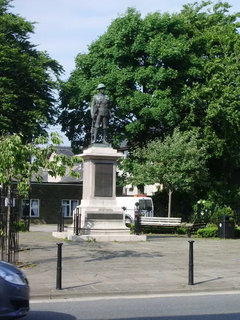
© Alexander P Kapp · Geograph · CC BY-SA 2.0
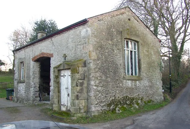
© Humphrey Bolton · Geograph · CC BY-SA 2.0
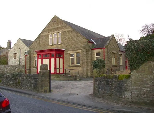
© Humphrey Bolton · Geograph · CC BY-SA 2.0
Images © their respective photographers, licensed under CC BY-SA 2.0 and reused here with attribution. Photographs depict listed buildings, churches and monuments near this settlement and may show neighbouring villages.
Data derived from the Open Domesday project (opendomesday.org), based on the Domesday Book dataset compiled by Professor J.J.N. Palmer and team. The Domesday Book (1086) is in the public domain.
Found an inaccuracy? [email protected]