Bolsover in the Domesday Book (1086)
The settlement of Bolsover is recorded in William I’s Domesday survey of 1086, entered under the hundred of Scarsdale in Derbyshire.
Other Settlements in Scarsdale
- Alfreton
- Ashover
- Barlborough
- Barlow
- Beighton
- Blingsby
- Boythorpe
- Bramley [Vale]
- Brimington
- Calow
- Chesterfield
- Clowne
- Dore
- Dronfield
The Meaning of the Name
The origin of the name Bolsover is not securely established from its modern form alone; like many settlement names in the North it likely combines an Old English or Old Norse personal name with a landscape term.
Remarkably, the name has changed little since 1086, when the Domesday scribes wrote it as Bolsover.
Listed Buildings Near Bolsover
Historic England records 53 listed buildings within about a mile of Bolsover. Listing protects structures of special architectural or historic interest, graded I (exceptional), II* (particularly important) and II.
Grade I
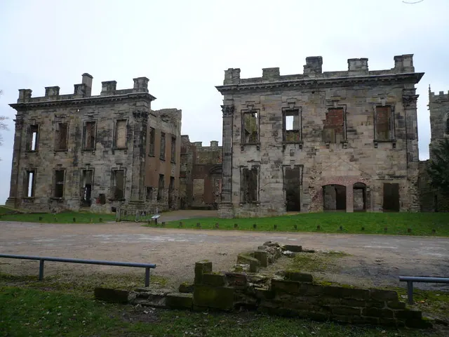
- Bolsover Castle - 0.59 km
Grade II*
- Church of St Mary and St Lawrence - 0.23 km
- Conduit House to South East of St Bernadette’s Church - 0.34 km
- Conduit House to Rear of Number 85 - 0.38 km
- Conduit House - 0.44 km
- Conduit House - 0.48 km
- The Cundy House - 0.66 km
Grade II
- 32 and 36, Town End - 0.09 km
- 2-4, Church Street - 0.21 km
- 28, Market Place - 0.21 km
- 15-19, Cotton Street - 0.25 km
- 40, Market Place - 0.25 km
- 38, Market Place - 0.25 km
- 42, 42A, 44 and 46, Market Place - 0.26 km
- War Memorial - 0.27 km
- 31, Market Place - 0.29 km
- 49, High Street - 0.31 km
- 39, High Street - 0.33 km
- Pigeoncote to Rear of Number 39 - 0.34 km
- Former Presbyterian Chapel - 0.36 km
- St Mary’s House the School House - 0.45 km
- Lime Kiln Fields Mill - 0.93 km
- Chimney at Lime Kiln Fields Mill - 0.93 km
- Bainbridge Hall - 0.96 km
…and 29 more listed structures in the area.
Scheduled Monuments Near Bolsover
Scheduled monuments are nationally important archaeological sites given legal protection. 3 lie within roughly a mile of Bolsover:
- Medieval town defences, 183m south east of church of St Mary and St Lawrence, and 335m north east of Bolsover Castle - 0.1 km
- Four watchtowers SW of town - 0.36 km
- Bolsover Castle: eleventh century motte and bailey castle, twelfth century tower keep castle and seventeenth century country house. - 0.55 km
Bolsover Today
Today Bolsover records a population of 11,673 at recent figures. Nine and a half centuries separate that figure from the small rural community the Domesday survey recorded here in 1086.
Read more about modern Bolsover on Wikipedia .
Nearby Domesday Settlements
Other places recorded in the 1086 survey within a few miles:
- Palterton - 2.0 km S
- Scarcliffe - 2.8 km SE
- Duckmanton and Long Duckmanton - 3.2 km W
- Glapwell - 4.0 km S
- Bramley Vale - 4.1 km S
- Elmton - 4.2 km NE
Heritage Around Bolsover
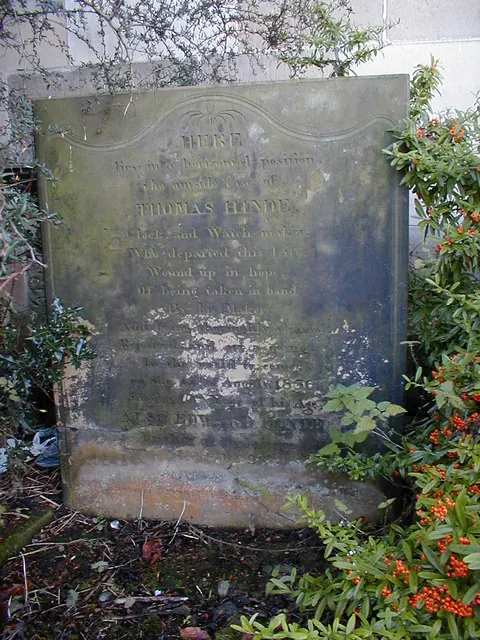
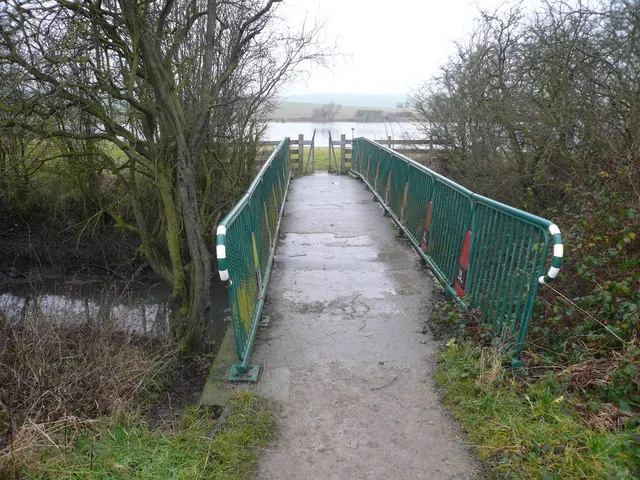
Photographs of churches, listed buildings and monuments in the vicinity, contributed by volunteers to the Geograph project and reused here under a Creative Commons licence.
© Alan Heardman · Geograph · CC BY-SA 2.0
© Gordon Elliott · Geograph · CC BY-SA 2.0
© Alan Heardman · Geograph · CC BY-SA 2.0
Images © their respective photographers, licensed under CC BY-SA 2.0 and reused here with attribution. Photographs depict listed buildings, churches and monuments near this settlement and may show neighbouring villages.
Data derived from the Open Domesday project (opendomesday.org), based on the Domesday Book dataset compiled by Professor J.J.N. Palmer and team. The Domesday Book (1086) is in the public domain.
Found an inaccuracy? [email protected]