Blackburn in the Domesday Book (1086)
The 1086 Domesday survey records the settlement of Blackburn, entered under the hundred of Blackburn in Cheshire.
Other Settlements in Blackburn
- Bardwell
- Barnham
- Barningham
- Coney Weston
- Culford
- Elmswell
- Euston
- Hepworth
- Hinderclay
- Honington
- Hopton
- Huncoat
- Hunston
- Ingham
The Meaning of the Name
The origin of the name Blackburn is not securely established from its modern form alone; like many settlement names in the North it likely combines an Old English or Old Norse personal name with a landscape term.
Remarkably, the name has changed little since 1086, when the Domesday scribes wrote it as Blackburn.
Listed Buildings Near Blackburn
Historic England records 49 listed buildings within about a mile of Blackburn. Listing protects structures of special architectural or historic interest, graded I (exceptional), II* (particularly important) and II.
Grade II*
- Cathedral Church of St Mary the Virgin - 0.54 km
Grade II
- Holy Trinity Church - 0.22 km
- Church of St Alban - 0.24 km
- 51 and 53 James Street - 0.3 km
- Church of St John Evangelist - 0.31 km
- Numbers 25 to 31A Victoria Street Including Number 10 James Street - 0.34 km
- Bank Cottage - 0.39 km
- Canal House - 0.39 km
- 22-27, Richmond Terrace - 0.41 km
- A, B, C, D and E Warehouses of Entwistle and Oddy Limited - 0.41 km
- British Waterways Office - 0.41 km
- Town Hall - 0.44 km
- Blackburn Museum - 0.45 km
- Textile Museum - 0.46 km
- Iron Structure at East End of Warehouses West of Navigation Bridge on Bridge - 0.46 km
- 1-21, Richmond Terrace - 0.48 km
- The Cotton Exchange - 0.52 km
- Barclays Bank - 0.52 km
- Railings, Piers, Lampholders and Statue at East End of Cathedral Churchyard - 0.53 km
- 28 and 30, Church Street - 0.53 km
- National Westminster Bank - 0.54 km
- 20, Church Street - 0.55 km
- Cathedral Gateway at North West Corner of Churchyard - 0.56 km
- Blackburn Railway Station - 0.58 km
…and 25 more listed structures in the area.
Blackburn Today
Today Blackburn lies within the administrative area of Lancashire.
Read more about modern Blackburn on Wikipedia .
Nearby Domesday Settlements
Other places recorded in the 1086 survey within a few miles:
- Ribchester - 8.1 km NW
- Huncoat - 9.2 km E
- Whalley - 9.4 km NE
- Great Mitton - 10.4 km N
- Aighton - 11.0 km N
- Dilworth House - 11.4 km NW
Heritage Around Blackburn
Photographs of churches, listed buildings and monuments in the vicinity, contributed by volunteers to the Geograph project and reused here under a Creative Commons licence.
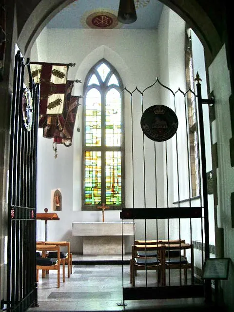
© Alexander P Kapp · Geograph · CC BY-SA 2.0
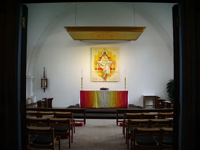
© Alexander P Kapp · Geograph · CC BY-SA 2.0
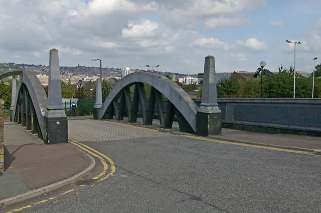
© Mr T · Geograph · CC BY-SA 2.0
Images © their respective photographers, licensed under CC BY-SA 2.0 and reused here with attribution. Photographs depict listed buildings, churches and monuments near this settlement and may show neighbouring villages.
Data derived from the Open Domesday project (opendomesday.org), based on the Domesday Book dataset compiled by Professor J.J.N. Palmer and team. The Domesday Book (1086) is in the public domain.
Found an inaccuracy? [email protected]