Bishop Wilton in the Domesday Book (1086)
Bishop Wilton is named in the Domesday Book, compiled by Norman commissioners in 1086, entered under the hundred of Pocklington in Yorkshire. The survey assessed Bishop Wilton at 27 carucates of taxable land.
At the time of the survey, Bishop Wilton supported a recorded population of 31 villagers, 12 smallholders, 3 slaves, working 23 ploughs between them.
By 1086 Bishop Wilton was worth 12.5 shillings, up from 12 shillings before the Conquest – in contrast to many Yorkshire neighbours whose valuations collapsed.
Resources Recorded at Bishop Wilton (1086)
- Meadow: 7 acres
- Woodland: 60 swine render
Other Settlements in Pocklington
- Allerthorpe
- Barmby [Moor]
- Belthorpe
- Bielby
- Bolton
- Burnby
- Chetelstorp
- Deighton
- Elvington
- Escrick
- Everingham
- Fangfoss
- Gowthorpe
- Greenwick
The Meaning of the Name
The name Bishop Wilton is of Anglo-Saxon origin. Its final element derives from the Old English word tūn, a farmstead or village. The first element is most likely a personal name or an early descriptive term, now difficult to recover with certainty. Taken together the name probably meant something close to ‘a farmstead’.
Remarkably, the name has changed little since 1086, when the Domesday scribes wrote it as Bishop Wilton.
Listed Buildings Near Bishop Wilton
Historic England records 13 listed buildings within about a mile of Bishop Wilton. Listing protects structures of special architectural or historic interest, graded I (exceptional), II* (particularly important) and II.
Grade I
- Church of St Edith - 0.34 km
Grade II
- Lamp-standard in St Edith’s Churchyard - 0.36 km
- 94, Main Street - 0.39 km
- Mosquito Cottage - 0.39 km
- K6 Telephone Kiosk - 0.42 km
- 58, Main Street - 0.43 km
- 78, Main Street - 0.46 km
- Barn About 100 Metres to East of no 39 - 0.48 km
- No 39 and Outbuilding Adjoining to Right - 0.51 km
- 38, Main Street - 0.52 km
- The Chestnuts - 0.58 km
- Lime Tree House - 0.63 km
- Milestone at Se 789566 - 1.29 km
Scheduled Monuments Near Bishop Wilton
Scheduled monuments are nationally important archaeological sites given legal protection. 2 lie within roughly a mile of Bishop Wilton:
- Site of Archbishop’s moated palace and fishponds, Hall Garth. - 0.47 km
- Round barrow 850m north of Wold Farm, Bishop Wilton Wold - 1.57 km
Bishop Wilton Today
Today Bishop Wilton lies within the administrative area of East Riding of Yorkshire, and the settlement recorded a population of 551 at the 2021 census. Nine and a half centuries separate that figure from the small rural community the Domesday survey recorded here in 1086.
Read more about modern Bishop Wilton on Wikipedia .
Nearby Domesday Settlements
Other places recorded in the 1086 survey within a few miles:
- Belthorpe - 1.4 km SW
- Garrowby Hall - 2.0 km N
- Great Givendale - 2.8 km SE
- Bugthorpe - 2.8 km NW
- Youlthorpe - 3.0 km W
- Meltonby - 3.0 km S
Heritage Around [Bishop] Wilton
Photographs of churches, listed buildings and monuments in the vicinity, contributed by volunteers to the Geograph project and reused here under a Creative Commons licence.
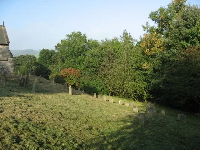
© Roger Gilbertson · Geograph · CC BY-SA 2.0
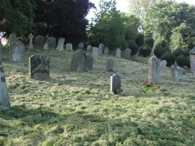
© Roger Gilbertson · Geograph · CC BY-SA 2.0
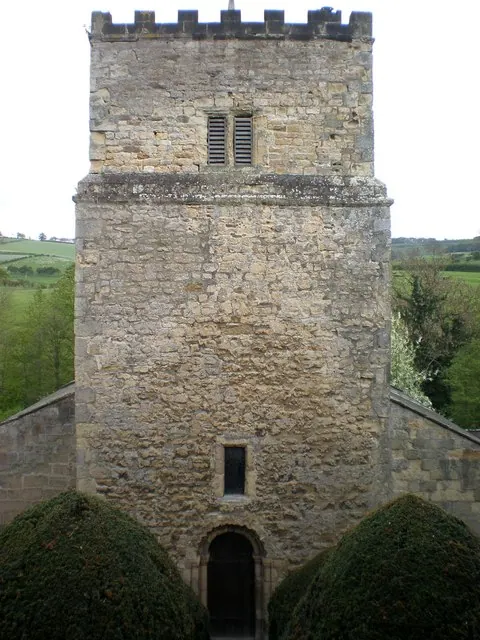
© Dr Patty McAlpin · Geograph · CC BY-SA 2.0
Images © their respective photographers, licensed under CC BY-SA 2.0 and reused here with attribution. Photographs depict listed buildings, churches and monuments near this settlement and may show neighbouring villages.
Data derived from the Open Domesday project (opendomesday.org), based on the Domesday Book dataset compiled by Professor J.J.N. Palmer and team. The Domesday Book (1086) is in the public domain.
Found an inaccuracy? [email protected]