Bishop Thornton in the Domesday Book (1086)
Bishop Thornton appears in the Domesday Book of 1086, entered under the hundred of Burghshire in Yorkshire. The survey assessed Bishop Thornton at 87.4 carucates of taxable land.
At the time of the survey, Bishop Thornton supported a recorded population of 30 villagers, working 9 ploughs between them.
The numbers record a sharp fall. Before 1066, Bishop Thornton was worth 88 shillings; by 1086 that had dropped to 1.01 shillings – a fall of 98%. Most Yorkshire villages that lost value on this scale were swept up in the Harrying of the North – William’s scorched-earth campaign of 1069–70.
The survey lists 2 manors at Bishop Thornton under different lords. Splitting a single settlement between multiple tenants was common across the North – Saxon estates broken up and handed to William’s followers after 1066.
Resources Recorded at Bishop Thornton (1086)
- Meadow: 0.5 * 0.5 leagues & 20 acres None
- Woodland: 16 * 4 None
Other Settlements in Burghshire
- Addlethorpe
- Aismunderby
- Aldfield
- Allerton [Mauleverer]
- Arkendale
- Askwith
- Azerley
- Barrowby [Grange]
- Beckwith [House]
- Besthaim
- Bestham
- Bewerley
- Bilton
- Birstwith
The Meaning of the Name
The name Bishop Thornton is of Anglo-Saxon origin. Its final element derives from the Old English word tūn, a farmstead or village, while the first element appears to represent thorn-bushes. Taken together the name probably meant something close to ’the thorn-bushes farmstead’.
Remarkably, the name has changed little since 1086, when the Domesday scribes wrote it as Bishop Thornton.
Listed Buildings Near Bishop Thornton
Historic England records 10 listed buildings within about a mile of Bishop Thornton. Listing protects structures of special architectural or historic interest, graded I (exceptional), II* (particularly important) and II.
Grade II
- West Hill Cottages - 0.52 km
- The Presbytery and Roman Catholic Church of Saint Joseph - 0.54 km
- Tower of Thornton Church - 0.9 km
- Well head approximately 25 metres west of Kettlespring Farmhouse - 1.01 km
- Dole Bank Farmhouse - 1.14 km
- Outbuilding Approximately 3 Metres North of Dole Bank Farmhouse - 1.14 km
- Covered Water Tank Approximately 20 Metres West of Low Kettlespring Farmhouse - 1.15 km
- Highfield House, With Garden Wall to Left - 1.17 km
- Beckside Farmhouse - 1.18 km
- Thornton Grange - 1.22 km
Bishop Thornton Today
Today Bishop Thornton lies within the administrative area of Bishop Thornton, Shaw Mills and Warsill, and the settlement recorded a population of 507 at recent figures. Nine and a half centuries separate that figure from the small rural community the Domesday survey recorded here in 1086.
Read more about modern Bishop Thornton on Wikipedia .
Nearby Domesday Settlements
Other places recorded in the 1086 survey within a few miles:
- Cayton - 3.0 km E
- Whipley Hall - 3.0 km S
- Markington - 3.6 km NE
- Ripley - 3.6 km SE
- South Stainley - 4.0 km E
- Brimham Hall - 4.1 km W
Heritage Around [Bishop] Thornton
Photographs of churches, listed buildings and monuments in the vicinity, contributed by volunteers to the Geograph project and reused here under a Creative Commons licence.
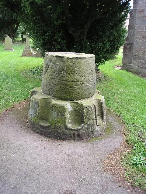
© Richard Swales · Geograph · CC BY-SA 2.0
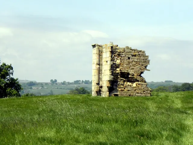
© Michael Steele · Geograph · CC BY-SA 2.0
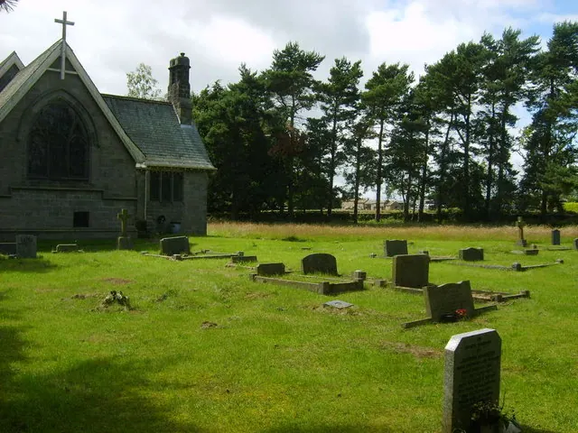
© William Metcalfe · Geograph · CC BY-SA 2.0
Images © their respective photographers, licensed under CC BY-SA 2.0 and reused here with attribution. Photographs depict listed buildings, churches and monuments near this settlement and may show neighbouring villages.
Data derived from the Open Domesday project (opendomesday.org), based on the Domesday Book dataset compiled by Professor J.J.N. Palmer and team. The Domesday Book (1086) is in the public domain.
Found an inaccuracy? [email protected]