Bishop Monkton in the Domesday Book (1086)
Bishop Monkton is named in the Domesday Book, compiled by Norman commissioners in 1086, entered under the hundred of Burghshire in Yorkshire. The survey assessed Bishop Monkton at 6.8 carucates of taxable land.
At the time of the survey, Bishop Monkton supported a recorded population of 32 villagers, 29 smallholders, 38 freemanmen, working 33 ploughs between them.
Something went badly wrong here between the two surveys. Before 1066, Bishop Monkton was worth 6 shillings; by 1086 that had dropped to 3 shillings – a fall of 50%. Most Yorkshire villages that lost value on this scale were swept up in the Harrying of the North – William’s scorched-earth campaign of 1069–70.
The survey lists 2 manors at Bishop Monkton under different lords. Splitting a single settlement between multiple tenants was common across the North – Saxon estates broken up and handed to William’s followers after 1066.
Resources Recorded at Bishop Monkton (1086)
- Mills: 4 mills (valued at 2.5 shillings)
- Meadow: 4.5 * 4.5 furlongs and 45 acres mixed measures
- Woodland: 2.5 * 2 leagues
Other Settlements in Burghshire
- Addlethorpe
- Aismunderby
- Aldfield
- Allerton [Mauleverer]
- Arkendale
- Askwith
- Azerley
- Barrowby [Grange]
- Beckwith [House]
- Besthaim
- Bestham
- Bewerley
- Bilton
- Birstwith
The Meaning of the Name
The name Bishop Monkton is of Anglo-Saxon origin. Its final element derives from the Old English word tūn, a farmstead or village. The first element is most likely a personal name or an early descriptive term, now difficult to recover with certainty. Taken together the name probably meant something close to ‘a farmstead’.
Remarkably, the name has changed little since 1086, when the Domesday scribes wrote it as Bishop Monkton.
Listed Buildings Near Bishop Monkton
Historic England records 12 listed buildings within about a mile of Bishop Monkton. Listing protects structures of special architectural or historic interest, graded I (exceptional), II* (particularly important) and II.
Grade II
- Village Farmhouse - 0.28 km
- Laurel Bank Farmhouse - 0.3 km
- Rosedene, With Forecourt Wall, Railings and Gate - 0.34 km
- Burngarth - 0.38 km
- The Cottage and Dennison Cottage - 0.45 km
- Ings Farm House - 0.5 km
- Bridge House - 0.52 km
- Fern House - 0.56 km
- Church of Saint John the Baptist - 0.57 km
- Old Paper Mill - 0.67 km
- The Old Barn to North East of Low Farmhouse - 1.0 km
- The Old Corn Mill With Attached Pigsty and Stable - 1.16 km
Bishop Monkton Today
Today Bishop Monkton lies within the administrative area of Harrogate, and the settlement recorded a population of 873 at the 2021 census. Nine and a half centuries separate that figure from the small rural community the Domesday survey recorded here in 1086.
Read more about modern Bishop Monkton on Wikipedia .
Nearby Domesday Settlements
Other places recorded in the 1086 survey within a few miles:
- Westwick - 2.0 km E
- Eastwick - 2.2 km NE
- Aismunderby - 2.8 km NW
- Littlethorpe - 3.0 km N
- Burton Leonard - 3.0 km S
- Markington - 3.2 km W
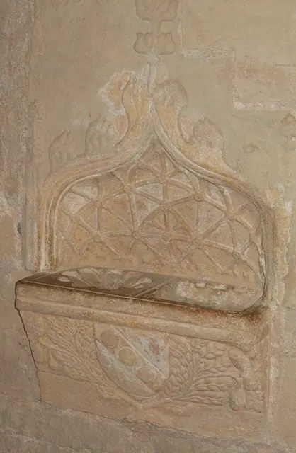
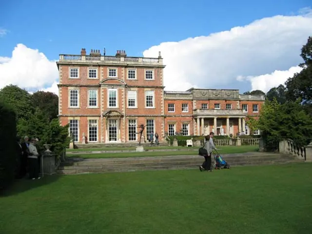
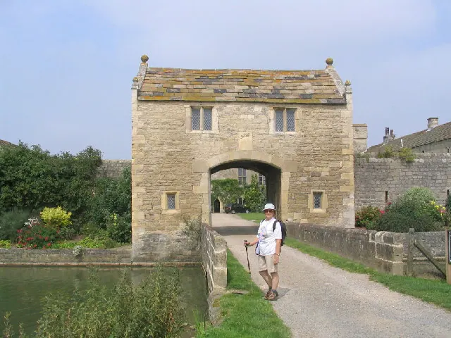
Heritage Around [Bishop] Monkton
Photographs of churches, listed buildings and monuments in the vicinity, contributed by volunteers to the Geograph project and reused here under a Creative Commons licence.
© Gordon Hatton · Geograph · CC BY-SA 2.0
© Lynne Glazzard · Geograph · CC BY-SA 2.0
© Mick Melvin · Geograph · CC BY-SA 2.0
Images © their respective photographers, licensed under CC BY-SA 2.0 and reused here with attribution. Photographs depict listed buildings, churches and monuments near this settlement and may show neighbouring villages.
Data derived from the Open Domesday project (opendomesday.org), based on the Domesday Book dataset compiled by Professor J.J.N. Palmer and team. The Domesday Book (1086) is in the public domain.
Found an inaccuracy? [email protected]