Bishop Burton in the Domesday Book (1086)
Bishop Burton appears in the Domesday Book of 1086, entered under the hundred of Weighton in Yorkshire. The survey assessed Bishop Burton at 2.8 carucates of taxable land.
At the time of the survey, Bishop Burton supported a recorded population of 2 villagers, 5 smallholders, 3 slaves, working 3 ploughs between them.
By 1086 Bishop Burton was worth 3.75 shillings, up from 2.75 shillings before the Conquest – one of the few settlements in the area to hold its value through the upheaval.
Resources Recorded at Bishop Burton (1086)
- Fisheries: 1
Other Settlements in Weighton
- Cleaving [Grange]
- Easthorpe
- Goodmanham
- Harswell
- Holme [upon Spalding Moor]
- Houghton
- Kipling Cotes
- Londesborough
- Sancton
- Shipton[thorpe]
- Torp
- Torpi
- Towthorpe
- [Market] Weighton
The Meaning of the Name
The name Bishop Burton is of Anglo-Saxon origin. Its final element derives from the Old English word tūn, a farmstead or village. The first element is most likely a personal name or an early descriptive term, now difficult to recover with certainty. Taken together the name probably meant something close to ‘a farmstead’.
Remarkably, the name has changed little since 1086, when the Domesday scribes wrote it as Bishop Burton.
Listed Buildings Near Bishop Burton
Historic England records 15 listed buildings within about a mile of Bishop Burton. Listing protects structures of special architectural or historic interest, graded I (exceptional), II* (particularly important) and II.
Grade II*
- Church of All Saints - 0.62 km
Grade II
- Bishop Burton Grange - 0.27 km
- Killingwoldgraves - 0.53 km
- Callais Farm House - 0.64 km
- The Old Village Pump - 0.67 km
- Westfield Farmhouse - 0.69 km
- Bishop Burton War Memorial - 0.71 km
- Northview - 0.72 km
- Red House - 0.73 km
- Eastfield Farm House - 0.75 km
- Forge Cottage - 0.78 km
- 13 and 14, the Green - 0.79 km
- Old Farmhouse - 0.81 km
- North End Farmhouse - 0.89 km
- Former High Hall Entrance Lodge at Bishop Burton College - 0.93 km
Scheduled Monuments Near Bishop Burton
Scheduled monuments are nationally important archaeological sites given legal protection. 3 lie within roughly a mile of Bishop Burton:
- Churchyard cross, 4m north of All Saints Church - 0.62 km
- Beverley sanctuary limit stone, Bishop Burton cross - 0.96 km
- Romano-British enclosure in Burton Bushes, Westwood Common - 1.51 km
Bishop Burton Today
Today Bishop Burton lies within the administrative area of East Riding of Yorkshire, and the settlement recorded a population of 661 at the 2021 census. Nine and a half centuries separate that figure from the small rural community the Domesday survey recorded here in 1086.
Read more about modern Bishop Burton on Wikipedia .
Nearby Domesday Settlements
Other places recorded in the 1086 survey within a few miles:
- Cherry Burton - 2.0 km N
- Walkington - 2.0 km S
- Molescroft - 3.2 km E
- Raventhorpe - 3.2 km N
- Beverley - 4.0 km E
- Etton - 4.1 km N
Heritage Around [Bishop] Burton
Photographs of churches, listed buildings and monuments in the vicinity, contributed by volunteers to the Geograph project and reused here under a Creative Commons licence.
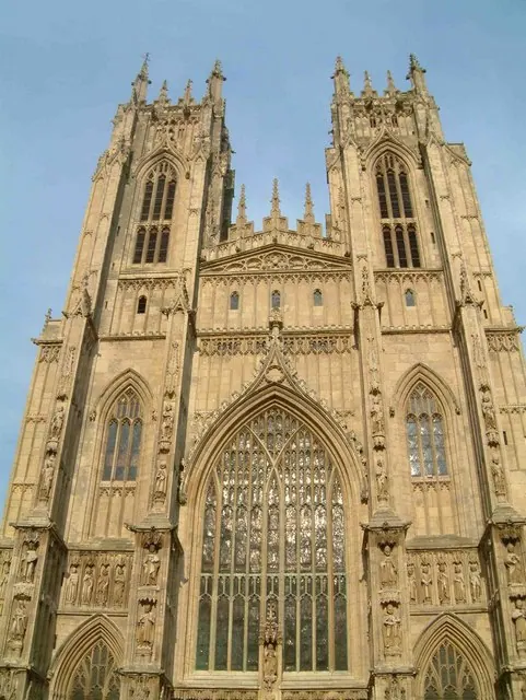
© Graham Hermon · Geograph · CC BY-SA 2.0
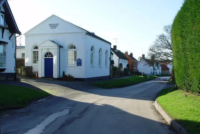
© Peter Church · Geograph · CC BY-SA 2.0
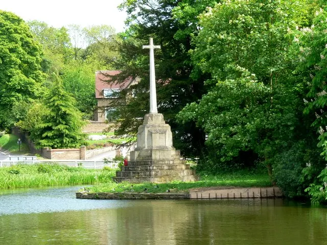
© Roger Gilbertson · Geograph · CC BY-SA 2.0
Images © their respective photographers, licensed under CC BY-SA 2.0 and reused here with attribution. Photographs depict listed buildings, churches and monuments near this settlement and may show neighbouring villages.
Data derived from the Open Domesday project (opendomesday.org), based on the Domesday Book dataset compiled by Professor J.J.N. Palmer and team. The Domesday Book (1086) is in the public domain.
Found an inaccuracy? [email protected]