Birkby in the Domesday Book (1086)
Birkby is named in the Domesday Book, compiled by Norman commissioners in 1086, entered under the hundred of Allerton in Yorkshire.
Other Settlements in Allerton
- Ainderby [Steeple]
- Appleton [Wiske]
- Arncliffe [Hall]
- Borrowby
- Brompton
- Cowesby
- Crosby [Grange]
- Dale [Town]
- Deighton
- Ellerbeck
- Foxton
- Girsby
- Hawnby
- Hornby
The Meaning of the Name
The name Birkby is of Scandinavian origin. Its final element derives from the Old Norse word bý, a farmstead or village, while the first element appears to represent birch (ON birki). Taken together the name probably meant something close to ’the birch farmstead’.
Names of this type are a fingerprint of Scandinavian settlement: they cluster across the old Danelaw, where Norse-speaking settlers renamed or founded villages from the late 9th century onward.
Remarkably, the name has changed little since 1086, when the Domesday scribes wrote it as Birkby.
Listed Buildings Near Birkby
Historic England records 4 listed buildings within about a mile of Birkby. Listing protects structures of special architectural or historic interest, graded I (exceptional), II* (particularly important) and II.
Grade II
- Birkby Manor - 0.45 km
- Church of St Peter - 0.46 km
- Birkby Manor Stables and Coachhouse and Wall - 0.5 km
- Garden cottage to the south west of Birkby Manor - 0.51 km
Scheduled Monuments Near Birkby
Scheduled monuments are nationally important archaeological sites given legal protection. 2 lie within roughly a mile of Birkby:
- Birkby medieval settlement and associated field system, moated site and fishponds - 0.43 km
- Little Smeaton medieval village and rabbit warrens, immediately south east of Westhorpe Hall - 1.38 km
Birkby Today
Today Birkby lies within the administrative area of Hambleton, and the settlement recorded a population of 32 at the 2021 census. Nine and a half centuries separate that figure from the small rural community the Domesday survey recorded here in 1086.
Read more about modern Birkby on Wikipedia .
Nearby Domesday Settlements
Other places recorded in the 1086 survey within a few miles:
- Little Smeaton - 1.4 km NE
- Hutton Bonville - 2.0 km S
- Great Smeaton - 2.2 km NE
- East Cowton - 3.2 km W
- South Cowton - 4.0 km W
- Danby Wiske - 4.0 km S
Heritage Around Birkby
Photographs of churches, listed buildings and monuments in the vicinity, contributed by volunteers to the Geograph project and reused here under a Creative Commons licence.
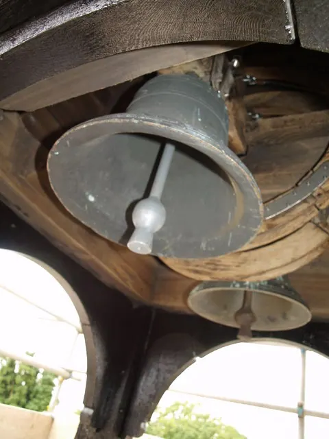
© Martin Kirk · Geograph · CC BY-SA 2.0
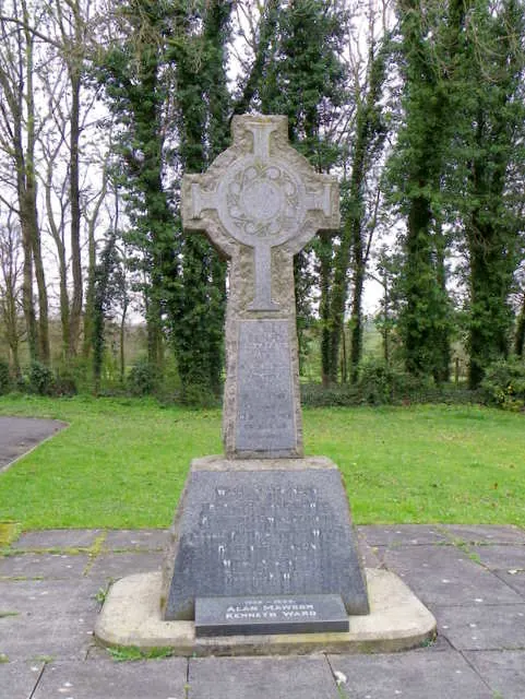
© Maigheach-gheal · Geograph · CC BY-SA 2.0
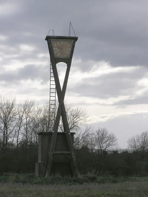
© Hugh Mortimer · Geograph · CC BY-SA 2.0
Images © their respective photographers, licensed under CC BY-SA 2.0 and reused here with attribution. Photographs depict listed buildings, churches and monuments near this settlement and may show neighbouring villages.
Data derived from the Open Domesday project (opendomesday.org), based on the Domesday Book dataset compiled by Professor J.J.N. Palmer and team. The Domesday Book (1086) is in the public domain.
Found an inaccuracy? [email protected]