Birkby Hall in the Domesday Book (1086)
Birkby Hall is named in the Domesday Book, compiled by Norman commissioners in 1086, entered under the hundred of Craven in Yorkshire.
Other Settlements in Craven
- Addingham
- Airton
- Anley
- Appletreewick
- Arncliffe
- Arnford
- Barnoldswick
- Bashall [Eaves]
- Battersby [Barn]
- Beamsley
- Bogeuurde
- Bolton [Abbey]
- Bolton [by Bowland]
- Bordley
The Meaning of the Name
The name Birkby Hall is of Scandinavian origin. Its final element derives from the Old Norse word bý, a farmstead or village, while the first element appears to represent birch (ON birki). Taken together the name probably meant something close to ’the birch farmstead’.
Names of this type are a fingerprint of Scandinavian settlement: they cluster across the old Danelaw, where Norse-speaking settlers renamed or founded villages from the late 9th century onward.
Remarkably, the name has changed little since 1086, when the Domesday scribes wrote it as Birkby Hall.
Listed Buildings Near Birkby Hall
Historic England records 20 listed buildings within about a mile of Birkby Hall. Listing protects structures of special architectural or historic interest, graded I (exceptional), II* (particularly important) and II.
Grade II
- Middle Birkby Farmhouse and Attached Outbuilding - 0.13 km
- Limekiln Approximately 200 Metres East of Middle Birkby Farmhouse - 0.16 km
- Priest Bridge - 0.83 km
- Stable Range to South Side of Boarbank Farm - 0.86 km
- Guide Stone Approximately 7 Metres From Junction at Headless Cross - 0.97 km
- Guidestone Appproximately 7 Metres South West of Junction With Templands Road - 0.97 km
- High Bank Side Farmhouse and Outbuilding - 0.98 km
- Cross at Headless Cross to North of Junction - 0.99 km
- Church of St Mary - 1.19 km
- Allithwaite Church of England Primary School Old School House - 1.21 km
- Guidestone at Corner of the Causeway Approximately 7 Metres South of St Marys Lodge - 1.24 km
- Cartmel Quaker Meeting House with gighouse/stable and enclosing walls - 1.26 km
- Pump Opposite End of the Causeway - 1.27 km
- Summer House Approximately 95 Metres North West of Cark Hall - 1.29 km
- Bank Court P Smith’s Bookshop Town Close, With Decorative Cobbled Paving - 1.29 km
- Royal Oak Public House - 1.29 km
- Ford House - 1.29 km
- Priory Guesthouse and Shop (Tarragon) and Cobbled Paving - 1.3 km
- Former National Westminster Bank and Nat West Bank House and Cobbled Paving - 1.3 km
- Former Kingsleys of Cartmel - 1.3 km
Scheduled Monuments Near Birkby Hall
Scheduled monuments are nationally important archaeological sites given legal protection. 2 lie within roughly a mile of Birkby Hall:
- Peter Hill, Cark - 1.39 km
- Cartmel Augustinian Priory medieval gatehouse and parts of the priory precinct - 1.46 km
Nearby Domesday Settlements
Other places recorded in the 1086 survey within a few miles:
- Holker - 1.0 km W
- Cartmel - 1.0 km N
- Walton Hall - 1.4 km NW
- High Newton - 6.7 km NE
- Bardsea - 7.6 km SW
- Ulverston - 9.0 km W
Heritage Around Birkby [Hall]
Photographs of churches, listed buildings and monuments in the vicinity, contributed by volunteers to the Geograph project and reused here under a Creative Commons licence.
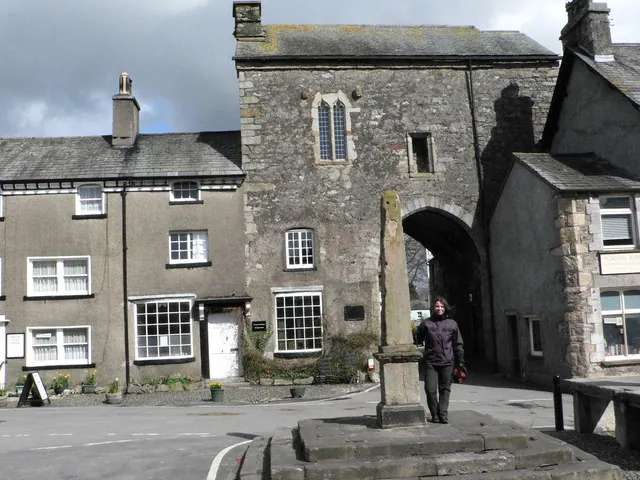
© John Berry · Geograph · CC BY-SA 2.0
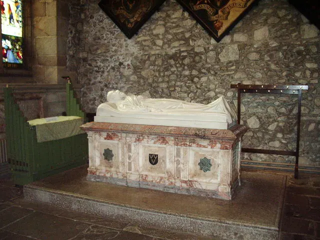
© Alexander P Kapp · Geograph · CC BY-SA 2.0
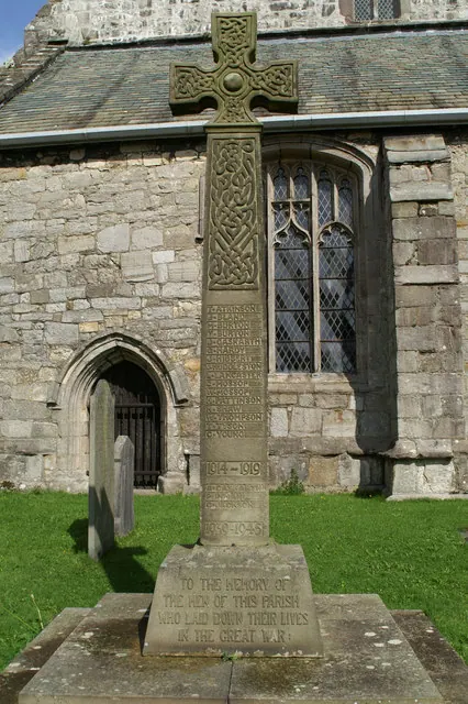
© David Long · Geograph · CC BY-SA 2.0
Images © their respective photographers, licensed under CC BY-SA 2.0 and reused here with attribution. Photographs depict listed buildings, churches and monuments near this settlement and may show neighbouring villages.
Data derived from the Open Domesday project (opendomesday.org), based on the Domesday Book dataset compiled by Professor J.J.N. Palmer and team. The Domesday Book (1086) is in the public domain.
Found an inaccuracy? [email protected]