Birchover in the Domesday Book (1086)
The settlement of Birchover is recorded in William I’s Domesday survey of 1086, entered under the hundred of Blackwell in Derbyshire.
Other Settlements in Blackwell
- Abney
- Ashford [-in-the-Water]
- Aston
- Bakewell
- Bamford
- Baslow
- Beeley
- Birchills
- Blackwell
- Bradwell
- Bubnell
- Burley
- Burton
- Calver
The Meaning of the Name
The origin of the name Birchover is not securely established from its modern form alone; like many settlement names in the North it likely combines an Old English or Old Norse personal name with a landscape term.
Remarkably, the name has changed little since 1086, when the Domesday scribes wrote it as Birchover.
Listed Buildings Near Birchover
Historic England records 13 listed buildings within about a mile of Birchover. Listing protects structures of special architectural or historic interest, graded I (exceptional), II* (particularly important) and II.
Grade II*
Grade II
- Druid Inn - 0.31 km
- Heath Cottage Heath House - 0.36 km
- Church of the Holy Name of Jesus, St Michael and All Angels - 0.36 km
- Village Well - 0.45 km
- Stocks at West Uppertown Farmhouse - 0.8 km
- West Uppertown Farmhouse - 0.8 km
- Milestone 150 Metres South West of Brimsbury Well - 0.84 km
- Cratcliff Cottage - 0.87 km
- Stoney Ley Lodge - 1.09 km
- Meadowside - 1.14 km
- Icehouse South of Fishponds, 400 Metres North North East of Cowclose Farmhouse - 1.25 km
- Milestone 15 Metres North of Stoney Ley Lodge - 1.26 km
Scheduled Monuments Near Birchover
Scheduled monuments are nationally important archaeological sites given legal protection. 7 lie within roughly a mile of Birchover:
- Doll Tor stone circle and cairn - 0.47 km
- Cratcliff Rocks hermitage - 0.86 km
- Cratcliff Rocks defended settlement - 1.02 km
- Nine Stone Close small stone circle - 1.07 km
- Bronze Age burial, ceremonial and settlement remains on Stanton Moor, and evidence for medieval, post-medieval and 19th to early 20th century activity - 1.35 km
- Harthill Moor bowl barrow - 1.4 km
- Castle Ring defended settlement - 1.57 km
Birchover Today
Today Birchover lies within the administrative area of Derbyshire Dales, and the settlement recorded a population of 328 at the 2021 census. Nine and a half centuries separate that figure from the small rural community the Domesday survey recorded here in 1086.
Read more about modern Birchover on Wikipedia .
Nearby Domesday Settlements
Other places recorded in the 1086 survey within a few miles:
Heritage Around Birchover
Photographs of churches, listed buildings and monuments in the vicinity, contributed by volunteers to the Geograph project and reused here under a Creative Commons licence.
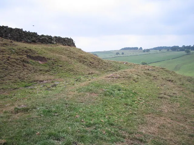
© Mark Kelly · Geograph · CC BY-SA 2.0
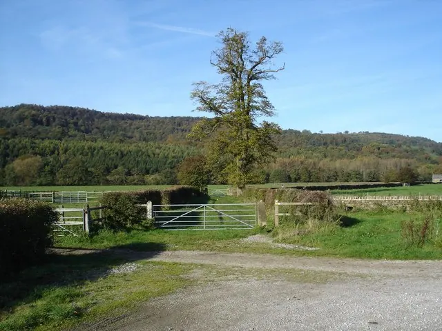
© Roger McLachlan · Geograph · CC BY-SA 2.0
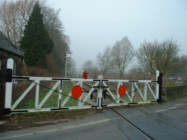
© John M · Geograph · CC BY-SA 2.0
Images © their respective photographers, licensed under CC BY-SA 2.0 and reused here with attribution. Photographs depict listed buildings, churches and monuments near this settlement and may show neighbouring villages.
Data derived from the Open Domesday project (opendomesday.org), based on the Domesday Book dataset compiled by Professor J.J.N. Palmer and team. The Domesday Book (1086) is in the public domain.
Found an inaccuracy? [email protected]