Bingley in the Domesday Book (1086)
The 1086 Domesday survey records the settlement of Bingley, entered under the hundred of Skyrack in Yorkshire.
Other Settlements in Skyrack
- Adel
- Allerton [Bywater]
- Alwoodley
- Arthington
- Austhorpe
- Baildon
- Bardsey
- Barwick [in Elmet]
- Bichertun
- Bicherun
- Birkby [Hill]
- Bramhope
- Burden [Head]
- Burley [in Wharfedale]
The Meaning of the Name
The name Bingley is of Anglo-Saxon origin. Its final element derives from the Old English word lēah, a woodland clearing or glade. The first element is most likely a personal name or an early descriptive term, now difficult to recover with certainty. Taken together the name probably meant something close to ‘a clearing’.
Remarkably, the name has changed little since 1086, when the Domesday scribes wrote it as Bingley.
Listed Buildings Near Bingley
Historic England records 56 listed buildings within about a mile of Bingley. Listing protects structures of special architectural or historic interest, graded I (exceptional), II* (particularly important) and II.
Grade II*
- Church of All Saints - 0.06 km
- Leeds and Liverpool Canal Three Rise Locks With Overflow Channel - 0.13 km
- Ireland Bridge - 0.14 km
Grade II
- 11 and 13, Old Main Street - 0.06 km
- Gatepiers to Church of All Saints Opposite Number 72 - 0.07 km
- 76 and 78, Old Main Street - 0.08 km
- 74, Old Main Street - 0.08 km
- Barn Attached to Number 78 (To West) and Number 80 (To East) - 0.08 km
- Old School House - 0.09 km
- Old White Horse - 0.09 km
- 54 and 56, Old Main Street - 0.09 km
- 58, Old Main Street - 0.09 km
- 1 and 3, Millgate - 0.1 km
- Barn and Cottage Attached to Rear of Old White Horse at Junction With Ireland Bridge Parapet - 0.1 km
- Old Railway Shed Depot, Approximately 30 Metres South East of New Fire Station - 0.12 km
- 2,4,6,8,10A,12 AND 12A, KEIGHLEY ROAD (See details for further address information) - 0.12 km
- Bowling Green Mill Engine House and Attached Chimney Occupied by Damart - 0.2 km
- That Part of Mill Fronting Road Occupied by Bingley Mill Limited Tops Warehouse - 0.21 km
- Bingley Church of England First School - 0.27 km
- Old Fire Station - 0.28 km
- Wall Railings and Gatepiers to Bingley Baptist Church - 0.3 km
- That Part of Park Road Tannery at Junction With Park Road - 0.31 km
- Bingley Baptist Church - 0.32 km
- Bingley Station, including the south-west platform walkway and Park Road entrance - 0.37 km
…and 32 more listed structures in the area.
Scheduled Monuments Near Bingley
Scheduled monuments are nationally important archaeological sites given legal protection. 1 lies within roughly a mile of Bingley:
- Late prehistoric enclosed settlement in Crosley Wood, Bingley, 185m north of Scourer Bridge - 1.53 km
Bingley Today
Today Bingley lies within the administrative area of Bradford, and the settlement recorded a population of 23,274 at the 2021 census. Nine and a half centuries separate that figure from the small rural community the Domesday survey recorded here in 1086.
Read more about modern Bingley on Wikipedia .
Nearby Domesday Settlements
Other places recorded in the 1086 survey within a few miles:
- Halton - 1.4 km SW
- Marley - 1.4 km NW
- Micklethwaite - 2.0 km N
- Eldwick - 2.2 km NE
- Cottingley - 2.2 km SE
- Wilsden - 3.2 km S
Heritage Around Bingley
Photographs of churches, listed buildings and monuments in the vicinity, contributed by volunteers to the Geograph project and reused here under a Creative Commons licence.
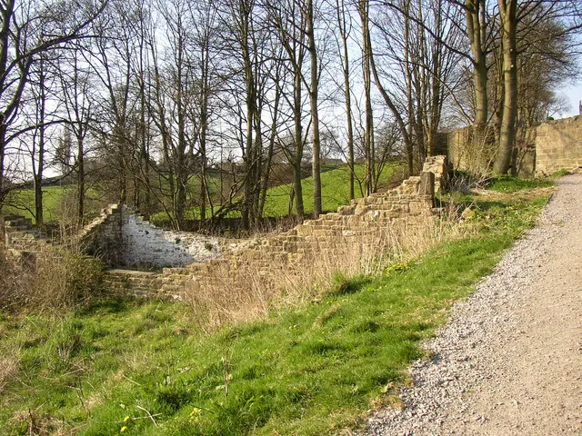
© Humphrey Bolton · Geograph · CC BY-SA 2.0
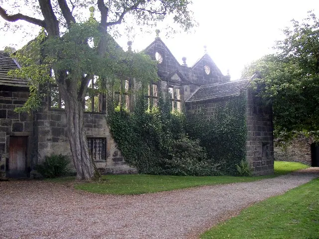
© Humphrey Bolton · Geograph · CC BY-SA 2.0
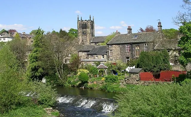
© Betty Longbottom · Geograph · CC BY-SA 2.0
Images © their respective photographers, licensed under CC BY-SA 2.0 and reused here with attribution. Photographs depict listed buildings, churches and monuments near this settlement and may show neighbouring villages.
Data derived from the Open Domesday project (opendomesday.org), based on the Domesday Book dataset compiled by Professor J.J.N. Palmer and team. The Domesday Book (1086) is in the public domain.
Found an inaccuracy? [email protected]