Bilton in the Domesday Book (1086)
Bilton appears in the Domesday Book of 1086, entered under the hundred of Ainsty in Yorkshire. The survey assessed Bilton at 3.5 carucates of taxable land.
At the time of the survey, Bilton supported a recorded population of 6 villagers, 11 smallholders, 3 slaves, working 6 ploughs between them.
The survey records Bilton’s value at 4 shillings in 1086. No pre-Conquest figure survives – not unusual in the North, where records were disrupted by the Harrying and by the patchy coverage of the survey.
Resources Recorded at Bilton (1086)
- Mills: 1 mill (valued at 3d)
- Sheep: 15
- Meadow: 26 acres
- Woodland: 6 acres
Other Settlements in Ainsty
- Acaster [Malbis]
- Acaster [Selby]
- Acomb
- Appleton [Roebuck]
- Askham [Bryan]
- Askham [Richard]
- Bickerton
- Bilbrough
- Bishopthorpe
- Bithen
- Bolton [Percy]
- Catterton
- Colton
- Copmanthorpe
The Meaning of the Name
The name Bilton is of Anglo-Saxon origin. Its final element derives from the Old English word tūn, a farmstead or village. The first element is most likely a personal name or an early descriptive term, now difficult to recover with certainty. Taken together the name probably meant something close to ‘a farmstead’.
Remarkably, the name has changed little since 1086, when the Domesday scribes wrote it as Bilton.
Listed Buildings Near Bilton
Historic England records 12 listed buildings within about a mile of Bilton. Listing protects structures of special architectural or historic interest, graded I (exceptional), II* (particularly important) and II.
Grade I
- Church of St Helen - 0.09 km
Grade II
- Mounting Block Approximately 5 Metres West of the Church of St Helen - 0.09 km
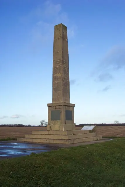
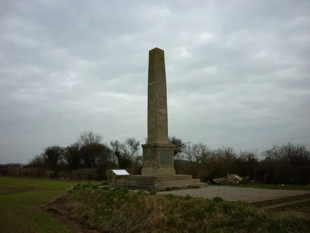
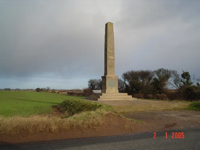
- War Memorial Cross to west of St Helen’s Church - 0.09 km
- Beech Cottage Church Walk Cottage - 0.11 km
- Mile Post Approximately 400 Metres West of Turning to Bilton - 0.42 km
- Stable Block Approximately 50 Metres North of Bilton Hall - 0.46 km
- The Old Vicarage - 0.48 km
- Bilton Hall - 0.49 km
- Bilton Brow - 0.51 km
- Old School House - 0.54 km
- Folly or Game Larder Approximately 200 Metres West of Bilton Hall - 0.63 km
- Mile Post at Se 4878 5051 - 1.17 km
Bilton Today
Today Bilton lies within the administrative area of Bilton-in-Ainsty with Bickerton.
Read more about modern Bilton-in-Ainsty on Wikipedia .
Nearby Domesday Settlements
Other places recorded in the 1086 survey within a few miles:
- Bickerton - 2.0 km W
- Wighill Park - 2.2 km SW
- Tockwith - 2.2 km NW
- Hutton Wandesley - 3.0 km E
- Long Marston - 3.2 km E
- Healaugh - 3.6 km SE
Heritage Around Bilton
Photographs of churches, listed buildings and monuments in the vicinity, contributed by volunteers to the Geograph project and reused here under a Creative Commons licence.
© Jonathan Billinger · Geograph · CC BY-SA 2.0
© Ian S · Geograph · CC BY-SA 2.0
© Steve Partridge · Geograph · CC BY-SA 2.0
Images © their respective photographers, licensed under CC BY-SA 2.0 and reused here with attribution. Photographs depict listed buildings, churches and monuments near this settlement and may show neighbouring villages.
Data derived from the Open Domesday project (opendomesday.org), based on the Domesday Book dataset compiled by Professor J.J.N. Palmer and team. The Domesday Book (1086) is in the public domain.
Found an inaccuracy? [email protected]