Bilham House in the Domesday Book (1086)
Bilham House is named in the Domesday Book, compiled by Norman commissioners in 1086, entered under the hundred of Strafforth in Yorkshire.
Other Settlements in Strafforth
- Adwick [le Street]
- Adwick [upon Dearne]
- Armthorpe
- Aston
- Attercliffe
- Auckley
- Aughton [Hall]
- Austerfield
- Balby
- Barnbrough
- Barnby [Dun]
- Bentley
- Billingley
- Bolton [upon Dearne]
The Meaning of the Name
The name Bilham House is of Anglo-Saxon origin. Its final element derives from the Old English word hām, a homestead or village. The first element is most likely a personal name or an early descriptive term, now difficult to recover with certainty. Taken together the name probably meant something close to ‘a homestead’.
Remarkably, the name has changed little since 1086, when the Domesday scribes wrote it as Bilham House.
Listed Buildings Near Bilham House
Historic England records 19 listed buildings within about a mile of Bilham House. Listing protects structures of special architectural or historic interest, graded I (exceptional), II* (particularly important) and II.
Grade I
- Church of St Wilfrid - 1.21 km
Grade II*
Grade II
- Barn approximately 15 metres north of Bilham House Farmhouse - 0.11 km
- Bilham House Farmhouse - 0.11 km
- Cartshed Approximately 10 Metres to South West of Bilham House Farmhouse - 0.14 km
- Belverdere Summer House - 0.53 km
- Gatepiers With Linking Walls at Bilham Lodge - 0.91 km
- Castle Hill Farmhouse - 1.15 km
- Cross With Stepped Base at Junction With Hickleton Road - 1.18 km
- Lychgate to North West Corner of Churchyard of Church of St Wilfrid - 1.2 km
- John O’Gaunts - 1.2 km
- Cross at Church of St Wilfrid’s Churhcyard - 1.22 km
- East Lodge and Entrance Gateway - 1.23 km
- K6 Telephone Kiosk - 1.24 km
- 19 - 1.24 km
- Section of Roadside Wall to South Side of Main Street Approximately 150 Metres to North of Hickleton Hall - 1.24 km
- 8 and 9 - 1.26 km
- Old School - 1.28 km
- Home Farm Court - 1.3 km
Scheduled Monuments Near Bilham House
Scheduled monuments are nationally important archaeological sites given legal protection. 2 lie within roughly a mile of Bilham House:
- Medieval standing cross and early 20th century memorial cross - 1.18 km
- Cross in the churchyard of All Saints’ Church - 1.47 km
Bilham House Today
Today Bilham House lies within the administrative area of Hooton Pagnell.
Nearby Domesday Settlements
Other places recorded in the 1086 survey within a few miles:
- Stotfold - 1.0 km W
- Hooton Pagnell - 1.0 km N
- Hickleton - 1.0 km S
- Deightonby Fields - 2.0 km W
- Brodsworth - 2.2 km NE
- Goldthorpe - 2.8 km SW
Heritage Around Bilham [House]
Photographs of churches, listed buildings and monuments in the vicinity, contributed by volunteers to the Geograph project and reused here under a Creative Commons licence.
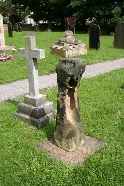
© Richard Croft · Geograph · CC BY-SA 2.0
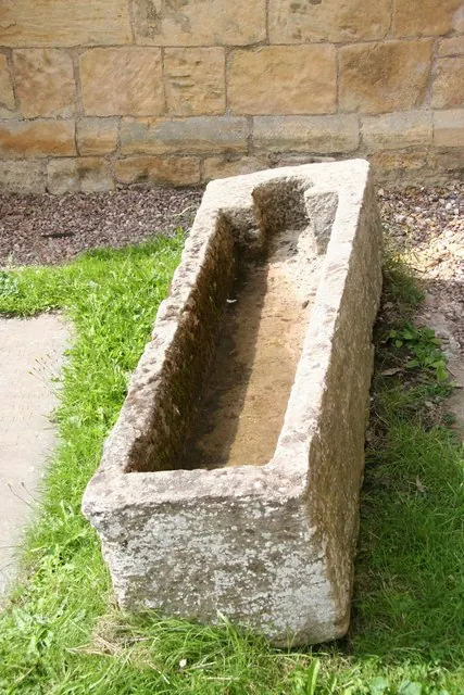
© Richard Croft · Geograph · CC BY-SA 2.0
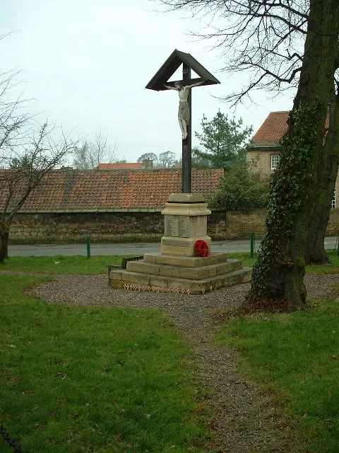
© Nigel Homer · Geograph · CC BY-SA 2.0
Images © their respective photographers, licensed under CC BY-SA 2.0 and reused here with attribution. Photographs depict listed buildings, churches and monuments near this settlement and may show neighbouring villages.
Data derived from the Open Domesday project (opendomesday.org), based on the Domesday Book dataset compiled by Professor J.J.N. Palmer and team. The Domesday Book (1086) is in the public domain.
Found an inaccuracy? [email protected]