Bickerton in the Domesday Book (1086)
The 1086 Domesday survey records the settlement of Bickerton, entered under the hundred of Ainsty in Yorkshire. The survey assessed Bickerton at 2.5 carucates of taxable land.
At the time of the survey, Bickerton supported a recorded population of 3 villagers, 8 smallholders, working 3 ploughs between them.
By 1086 Bickerton was worth 3 shillings, up from 2 shillings before the Conquest – which sets it apart from the many nearby villages left waste or devalued.
Resources Recorded at Bickerton (1086)
- Cattle: 2
- Pigs: 32
- Sheep: 52
- Meadow: 10 acres
Other Settlements in Ainsty
- Acaster [Malbis]
- Acaster [Selby]
- Acomb
- Appleton [Roebuck]
- Askham [Bryan]
- Askham [Richard]
- Bilbrough
- Bilton
- Bishopthorpe
- Bithen
- Bolton [Percy]
- Catterton
- Colton
- Copmanthorpe
The Meaning of the Name
The name Bickerton is of Anglo-Saxon origin. Its final element derives from the Old English word tūn, a farmstead or village. The first element is most likely a personal name or an early descriptive term, now difficult to recover with certainty. Taken together the name probably meant something close to ‘a farmstead’.
Remarkably, the name has changed little since 1086, when the Domesday scribes wrote it as Bickerton.
Listed Buildings Near Bickerton
Historic England records 2 listed buildings within about a mile of Bickerton. Listing protects structures of special architectural or historic interest, graded I (exceptional), II* (particularly important) and II.
Grade II
- Mile Post Approximately 350 Metres East of Turning to Bickerton - 0.03 km
- Former Wesleyan Methodist Chapel With Retaining Wall - 0.45 km
Bickerton Today
Today Bickerton lies within the administrative area of Bilton-in-Ainsty with Bickerton.
Read more about modern Bickerton on Wikipedia .
Nearby Domesday Settlements
Other places recorded in the 1086 survey within a few miles:
- Bilton - 2.0 km E
- Tockwith - 2.2 km NE
- Wighill Park - 2.2 km SE
- Ingmanthorpe Hall - 3.0 km W
- Walton - 3.2 km S
- Cowthorpe - 3.6 km NW
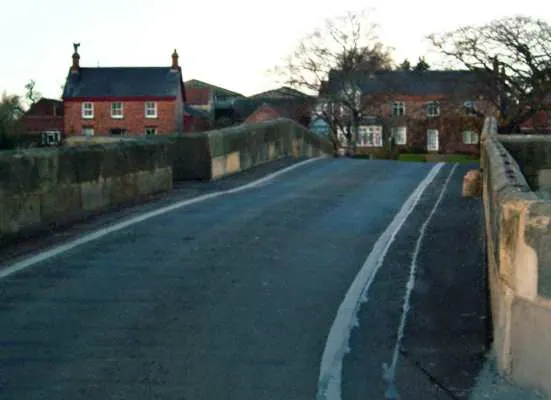
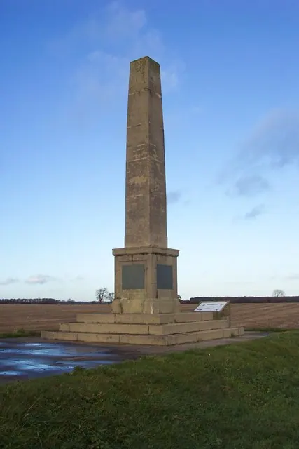
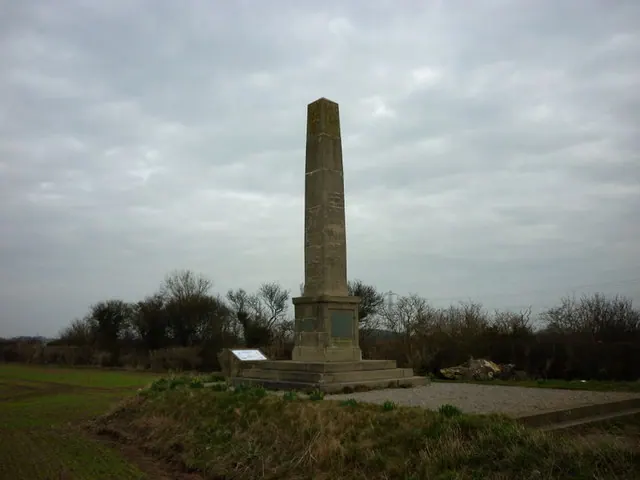
Heritage Around Bickerton
Photographs of churches, listed buildings and monuments in the vicinity, contributed by volunteers to the Geograph project and reused here under a Creative Commons licence.
© Toby Speight · Geograph · CC BY-SA 2.0
© Jonathan Billinger · Geograph · CC BY-SA 2.0
© Ian S · Geograph · CC BY-SA 2.0
Images © their respective photographers, licensed under CC BY-SA 2.0 and reused here with attribution. Photographs depict listed buildings, churches and monuments near this settlement and may show neighbouring villages.
Data derived from the Open Domesday project (opendomesday.org), based on the Domesday Book dataset compiled by Professor J.J.N. Palmer and team. The Domesday Book (1086) is in the public domain.
Found an inaccuracy? [email protected]