Bichertun in the Domesday Book (1086)
Bichertun is named in the Domesday Book, compiled by Norman commissioners in 1086, entered under the hundred of Skyrack in Yorkshire.
Other Settlements in Skyrack
- Adel
- Allerton [Bywater]
- Alwoodley
- Arthington
- Austhorpe
- Baildon
- Bardsey
- Barwick [in Elmet]
- Bicherun
- Bingley
- Birkby [Hill]
- Bramhope
- Burden [Head]
- Burley [in Wharfedale]
The Meaning of the Name
The name Bichertun is of Anglo-Saxon origin. Its final element derives from the Old English word tūn, a farmstead or village. The first element is most likely a personal name or an early descriptive term, now difficult to recover with certainty. Taken together the name probably meant something close to ‘a farmstead’.
Remarkably, the name has changed little since 1086, when the Domesday scribes wrote it as Bichertun.
Listed Buildings Near Bichertun
Historic England records 9 listed buildings within about a mile of Bichertun. Listing protects structures of special architectural or historic interest, graded I (exceptional), II* (particularly important) and II.
Grade II
- Clifton Cottage and Ash Tree Cottage - 0.41 km
- Grange Farmhouse and Fairfax Cottage - 0.43 km
- Old Hall Farmhouse - 0.45 km
- Sunnyview Farmhouse - 0.48 km
- Cherry Tree Farmhouse - 0.48 km
- Well Farmhouse and Attached Barn - 0.49 km
- Sundial Farmhouse - 0.53 km
- Carr Side Farmhouse and Adjoining Outhouse - 0.71 km
- Dob Park House - 1.21 km
Scheduled Monuments Near Bichertun
Scheduled monuments are nationally important archaeological sites given legal protection. 9 lie within roughly a mile of Bichertun:
- Cairn 6m in diameter south of track east of plantation on Weston Moor 300m WNW of Weston Moor Cottage - 1.22 km
- Rock with five or more cups south of track on Weston Moor 300m WNW of Weston Moor Cottage - 1.25 km
- Rock with one cup mark east of the plantation on Weston Moor 380m north west of Weston Moor Cottage - 1.33 km
- Rock with at least eight cups south of track on Weston Moor 480m WNW of Weston Moor Cottage - 1.39 km
- Cairn 7m in diameter north of track east of plantation on Weston Moor 450m WNW of Weston Moor Cottage - 1.39 km
- Rock with at least two cups and a groove east of the plantation on Weston Moor 450m north west of Weston Moor Cottage - 1.41 km
- Cup, ring and groove marked rock south of track on Weston Moor 500m WNW of Weston Moor Cottage - 1.42 km
- Rock with large oval cup east of plantation on Weston Moor 830m WSW of Dob Park House Farm - 1.44 km
- Carved rock near north east corner of the plantation on Weston Moor 550m north west of Weston Moor Cottage - 1.49 km
Bichertun Today
Today Bichertun lies within the administrative area of North Yorkshire, and the settlement recorded a population of 149 at the 2021 census. Nine and a half centuries separate that figure from the small rural community the Domesday survey recorded here in 1086.
Read more about modern Newall with Clifton on Wikipedia .
Nearby Domesday Settlements
Other places recorded in the 1086 survey within a few miles:
Heritage Around Bichertun
Photographs of churches, listed buildings and monuments in the vicinity, contributed by volunteers to the Geograph project and reused here under a Creative Commons licence.
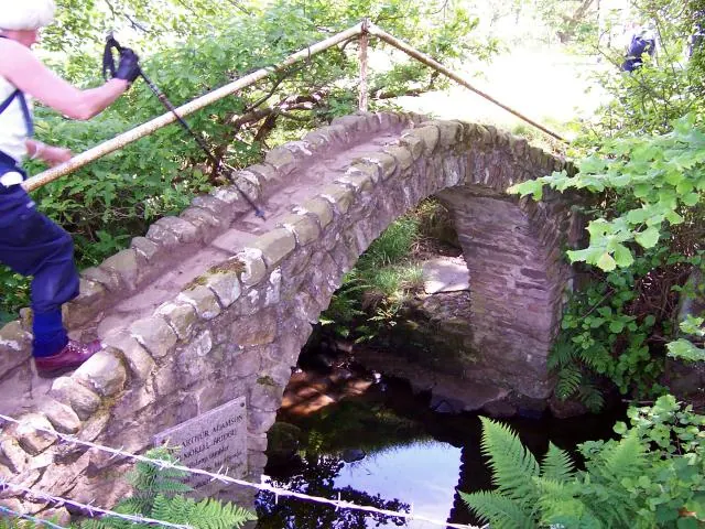
© Joe Regan · Geograph · CC BY-SA 2.0
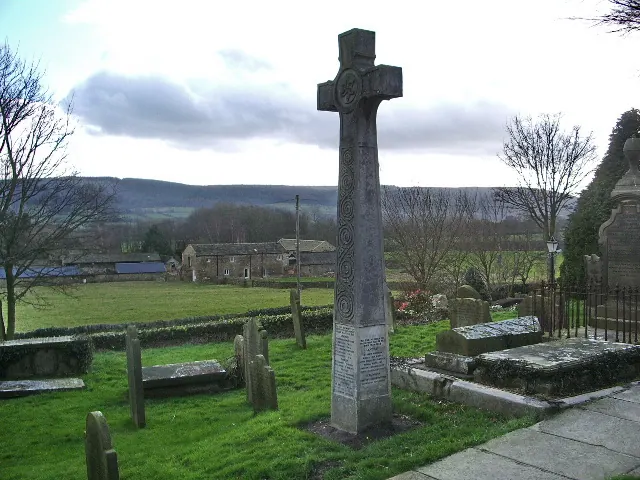
© Alexander P Kapp · Geograph · CC BY-SA 2.0
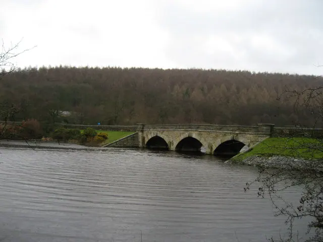
© Chris Heaton · Geograph · CC BY-SA 2.0
Images © their respective photographers, licensed under CC BY-SA 2.0 and reused here with attribution. Photographs depict listed buildings, churches and monuments near this settlement and may show neighbouring villages.
Data derived from the Open Domesday project (opendomesday.org), based on the Domesday Book dataset compiled by Professor J.J.N. Palmer and team. The Domesday Book (1086) is in the public domain.
Found an inaccuracy? [email protected]