Bewerley in the Domesday Book (1086)
Bewerley is named in the Domesday Book, compiled by Norman commissioners in 1086, entered under the hundred of Burghshire in Yorkshire. The survey assessed Bewerley at 2 carucates of taxable land.
By 1086 Bewerley was worth 4 shillings, up from 2 shillings before the Conquest – in contrast to many Yorkshire neighbours whose valuations collapsed.
Resources Recorded at Bewerley (1086)
- Churches: 1
Other Settlements in Burghshire
- Addlethorpe
- Aismunderby
- Aldfield
- Allerton [Mauleverer]
- Arkendale
- Askwith
- Azerley
- Barrowby [Grange]
- Beckwith [House]
- Besthaim
- Bestham
- Bilton
- Birstwith
- Bramley [Grange]
The Meaning of the Name
The name Bewerley is of Anglo-Saxon origin. Its final element derives from the Old English word lēah, a woodland clearing or glade. The first element is most likely a personal name or an early descriptive term, now difficult to recover with certainty. Taken together the name probably meant something close to ‘a clearing’.
Remarkably, the name has changed little since 1086, when the Domesday scribes wrote it as Bewerley.
Listed Buildings Near Bewerley
Historic England records 30 listed buildings within about a mile of Bewerley. Listing protects structures of special architectural or historic interest, graded I (exceptional), II* (particularly important) and II.
Grade II*
- Bewerley Grange - 0.32 km
- Bewerley Old Hall - 0.44 km
Grade II
- Turner Bridge - 0.22 km
- Garden Tower to West of Abbey Lodge - 0.36 km
- Bridge at Bewerley Old Hall - 0.42 km
- Sundial Approximately 10 Metres South of Old Hall - 0.44 km
- Bewerley House With Attached Archway to West - 0.44 km
- Garden Wall With Gateway Attached to South East Corner of Old Hall - 0.45 km
- Haver Garth - 0.75 km
- Barn on West Side of Farmyard at the Farmstead - 0.78 km
- U-shaped range of farmbuildings including attached wall, railings and gateway immediately to West of farmhouse at the Farmstead - 0.78 km
- Farmhouse With Attached Garden Wall and Entrance Gateway at the Farmstead - 0.81 km
- Barn and Cowhouse on North Side of Farmyard at the Farmstead - 0.82 km
- Willow Croft - 0.89 km
- Yorke’s Folly - 0.98 km
- Pateley Bridge - 1.06 km
- 13 and 15 (Kings House), High Street - 1.14 km
- 9 and 11, High Street - 1.14 km
- Hagenbachs Bakery - 1.14 km
- The Crown - 1.16 km
- Talbot House - 1.18 km
- Brandstone Scar - 1.19 km
- The Pateley Club - 1.2 km
- 35, 37 and 39, High Street - 1.2 km
…and 6 more listed structures in the area.
Scheduled Monuments Near Bewerley
Scheduled monuments are nationally important archaeological sites given legal protection. 6 lie within roughly a mile of Bewerley:
- Cup and ring marked rock 16m north west of wall junction, 225m south of Far High Westcliff - 0.95 km
- Cup, ring and groove marked rock in wall 220m south of Far High Westcliff - 0.96 km
- Rock with complex carving south west of a wall junction, 265m SSW of Far High Westcliff - 0.98 km
- Rock with complex pattern of cup, ring and groove marks in wall 250m south of Far High Westcliff - 0.99 km
- Rock with cup, ring and groove marks in the west side of Guisecliff Wood, 420m south east of Far High Westcliff - 1.22 km
- Ruins of St Mary’s Church - 1.27 km
Bewerley Today
Today Bewerley lies within the administrative area of North Yorkshire, and the settlement recorded a population of 694 at the 2021 census. Nine and a half centuries separate that figure from the small rural community the Domesday survey recorded here in 1086.
Read more about modern Bewerley on Wikipedia .
Nearby Domesday Settlements
Other places recorded in the 1086 survey within a few miles:
- Wilsill - 3.0 km E
- Heathfield - 3.6 km NW
- Dacre - 5.6 km SE
- Popletone - 6.7 km NW
- Brimham Hall - 7.3 km E
- Knaresford - 7.8 km NE
Heritage Around Bewerley
Photographs of churches, listed buildings and monuments in the vicinity, contributed by volunteers to the Geograph project and reused here under a Creative Commons licence.
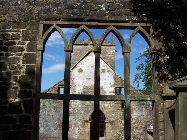
© Chris Heaton · Geograph · CC BY-SA 2.0
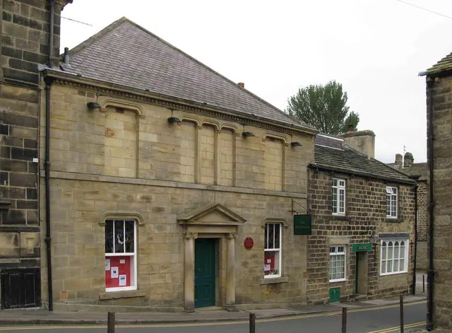
© David Rogers · Geograph · CC BY-SA 2.0
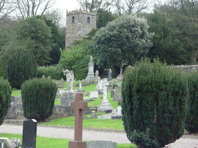
© Malcolm Street · Geograph · CC BY-SA 2.0
Images © their respective photographers, licensed under CC BY-SA 2.0 and reused here with attribution. Photographs depict listed buildings, churches and monuments near this settlement and may show neighbouring villages.
Data derived from the Open Domesday project (opendomesday.org), based on the Domesday Book dataset compiled by Professor J.J.N. Palmer and team. The Domesday Book (1086) is in the public domain.
Found an inaccuracy? [email protected]