Bessingby in the Domesday Book (1086)
The settlement of Bessingby is recorded in William I’s Domesday survey of 1086, entered under the hundred of Hunthow in Yorkshire.
Other Settlements in Hunthow
- Auburn
- Bempton
- Boynton
- Boynton [Hall]
- Bridlington
- Buckton
- Easton
- Flamborough
- Flixton
- Foxholes
- Fraisthorpe
- Grindale
- Hilderthorpe
- Marton
The Meaning of the Name
The name Bessingby is of Scandinavian origin. Its final element derives from the Old Norse word bý, a farmstead or village. The first element is most likely a personal name or an early descriptive term, now difficult to recover with certainty. Taken together the name probably meant something close to ‘a farmstead’.
Names of this type are a fingerprint of Scandinavian settlement: they cluster across the old Danelaw, where Norse-speaking settlers renamed or founded villages from the late 9th century onward.
Remarkably, the name has changed little since 1086, when the Domesday scribes wrote it as Bessingby.
Listed Buildings Near Bessingby
Historic England records 13 listed buildings within about a mile of Bessingby. Listing protects structures of special architectural or historic interest, graded I (exceptional), II* (particularly important) and II.
Grade II*
- Church of St Magnus - 0.55 km
- Church of St John the Baptist - 1.15 km
Grade II
- The Pigeoncote to Bessingby Hall - 0.51 km
- Formerly Keeper’s Cottage to Bessingby Hall Hall Farmhouse - 0.56 km
- Cottage at Corner of Main Street and Church Lane - 0.56 km
- Cottage Farmhouse - 0.64 km
- Manor Farmhouse - 0.77 km
- Outbuildings to East of Manor Farmhouse - 0.79 km
- Carnaby House - 0.81 km
- Cart Sheds, Pigeoncote and Stables to Carnaby House - 0.81 km
- Bessingby Hall - 0.81 km
- Hill Farmhouse - 1.02 km
- Lodge to Bessingby Hall Attached Retaining Walls, Gate Piers and Gates - 1.04 km
Bessingby Today
Today Bessingby lies within the administrative area of Bridlington.
Read more about modern Bessingby on Wikipedia .
Nearby Domesday Settlements
Other places recorded in the 1086 survey within a few miles:
- Carnaby - 1.0 km W
- Hilderthorpe - 2.0 km E
- Wilsthorpe - 2.2 km SE
- Bridlington - 2.8 km NE
- Boynton - 2.8 km NW
- Boynton Hall - 2.8 km NW
Heritage Around Bessingby
Photographs of churches, listed buildings and monuments in the vicinity, contributed by volunteers to the Geograph project and reused here under a Creative Commons licence.
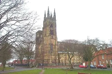
© Bill Henderson · Geograph · CC BY-SA 2.0
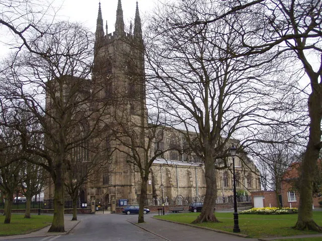
© JThomas · Geograph · CC BY-SA 2.0
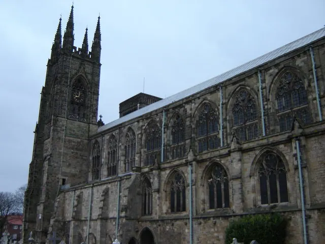
© Martin Dawes · Geograph · CC BY-SA 2.0
Images © their respective photographers, licensed under CC BY-SA 2.0 and reused here with attribution. Photographs depict listed buildings, churches and monuments near this settlement and may show neighbouring villages.
Data derived from the Open Domesday project (opendomesday.org), based on the Domesday Book dataset compiled by Professor J.J.N. Palmer and team. The Domesday Book (1086) is in the public domain.
Found an inaccuracy? [email protected]