Bentley in the Domesday Book (1086)
Bentley appears in the Domesday Book of 1086, entered under the hundred of Welton in Yorkshire. The survey assessed Bentley at 2 carucates of taxable land.
At the time of the survey, Bentley supported a recorded population of 3 villagers, working 5 ploughs between them.
By 1086 Bentley was worth 2.5 shillings, up from 2 shillings before the Conquest – one of the few settlements in the area to hold its value through the upheaval.
Resources Recorded at Bentley (1086)
- Meadow: 8 acres
Other Settlements in Welton
- Brantingham
- Brantingham [Thorpe]
- Cottingham
- Ellerker
- Elloughton
- Lund
- Pillwoods [Farm]
- Risby
- Skidby
- Toschetorp
- Walkington
- Wauldby
- Welton
- [Little] Weighton
The Meaning of the Name
The name Bentley is of Anglo-Saxon origin. Its final element derives from the Old English word lēah, a woodland clearing or glade. The first element is most likely a personal name or an early descriptive term, now difficult to recover with certainty. Taken together the name probably meant something close to ‘a clearing’.
Remarkably, the name has changed little since 1086, when the Domesday scribes wrote it as Bentley.
Listed Buildings Near Bentley
Historic England records 1 listed building within about a mile of Bentley. Listing protects structures of special architectural or historic interest, graded I (exceptional), II* (particularly important) and II.
Grade II
- Folly in Fishpond Wood - 0.39 km
Scheduled Monuments Near Bentley
Scheduled monuments are nationally important archaeological sites given legal protection. 4 lie within roughly a mile of Bentley:
- Risby Jacobean gardens, hall and medieval settlement remains - 1.03 km
- ‘Cellar Heads’ moated site and related ridge and furrow earthworks at Risby Park, 700m north west of Risby Park Farm - 1.16 km
- Beverley sanctuary limit stone, Bentley cross - 1.33 km
- Heavy Anti-aircraft gunsite, 350m west of Butt Farm - 1.48 km
Bentley Today
Today Bentley lies within the administrative area of Rowley.
Read more about modern Bentley on Wikipedia .
Nearby Domesday Settlements
Other places recorded in the 1086 survey within a few miles:
- Risby - 1.4 km SW
- Skidby - 2.0 km S
- Walkington - 2.8 km NW
- Pillwoods Farm - 3.2 km E
- Little Weighton - 3.6 km SW
- Cottingham - 4.2 km SE
Heritage Around Bentley
Photographs of churches, listed buildings and monuments in the vicinity, contributed by volunteers to the Geograph project and reused here under a Creative Commons licence.
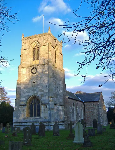
© Paul Harrop · Geograph · CC BY-SA 2.0
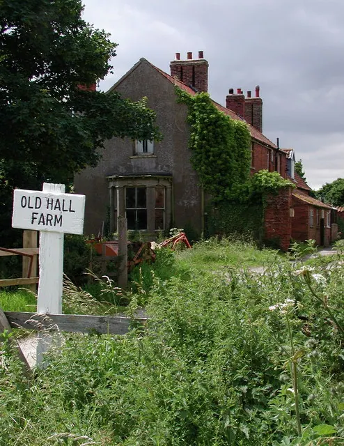
© Paul Glazzard · Geograph · CC BY-SA 2.0
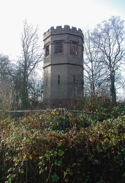
© Paul Glazzard · Geograph · CC BY-SA 2.0
Images © their respective photographers, licensed under CC BY-SA 2.0 and reused here with attribution. Photographs depict listed buildings, churches and monuments near this settlement and may show neighbouring villages.
Data derived from the Open Domesday project (opendomesday.org), based on the Domesday Book dataset compiled by Professor J.J.N. Palmer and team. The Domesday Book (1086) is in the public domain.
Found an inaccuracy? [email protected]