Beeston in the Domesday Book (1086)
Beeston is named in the Domesday Book, compiled by Norman commissioners in 1086, entered under the hundred of Morley in Yorkshire.
Other Settlements in Morley
- Allerton
- Armley
- Batley
- Bolton
- Bowling
- Bradford
- Bramley
- Calverley
- Carlton
- Chellow [Grange]
- Clayton
- Clifton
- Cruttonstall
- Dewsbury
The Meaning of the Name
The name Beeston is of Anglo-Saxon origin. Its final element derives from the Old English word tūn, a farmstead or village. The first element is most likely a personal name or an early descriptive term, now difficult to recover with certainty. Taken together the name probably meant something close to ‘a farmstead’.
Remarkably, the name has changed little since 1086, when the Domesday scribes wrote it as Beeston.
Listed Buildings Near Beeston
Historic England records 12 listed buildings within about a mile of Beeston. Listing protects structures of special architectural or historic interest, graded I (exceptional), II* (particularly important) and II.
Grade II*
- The Manor House Cad Beeston - 1.14 km
Grade II
- Church of St Mary - 0.38 km
- Holbeck Cemetery Memorial to Henry Marsden Approximately 20 Metres West of Lodge - 1.04 km
- Holbeck Cemetery Entrance Gates Gate Piers and Flanking Walls - 1.07 km
- Holbeck Cemetery Lodge - 1.08 km
- Beeston Hill War Memorial - 1.12 km
- Parish Church of the Holy Spirit - 1.15 km
- Cad Beeston - 1.15 km
- Milestone Approximately 30 Metres North East of Six Arches Viaduct - 1.16 km
- Railway underbridge MDL1/39, Churwell Bridge - 1.2 km
- Railway viaduct MDL1/40, Churwell Viaduct - 1.21 km
- Manor House Farmhouse - 1.3 km
Scheduled Monuments Near Beeston
Scheduled monuments are nationally important archaeological sites given legal protection. 1 lies within roughly a mile of Beeston:
- Stank Hall quasi-manorial site - 1.38 km
Beeston Today
Today Beeston lies within the administrative area of Leeds, and the settlement recorded a population of 22,187 at recent figures. Nine and a half centuries separate that figure from the small rural community the Domesday survey recorded here in 1086.
Read more about modern Beeston on Wikipedia .
Nearby Domesday Settlements
Other places recorded in the 1086 survey within a few miles:
Heritage Around Beeston
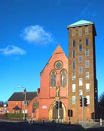
Photographs of churches, listed buildings and monuments in the vicinity, contributed by volunteers to the Geograph project and reused here under a Creative Commons licence.
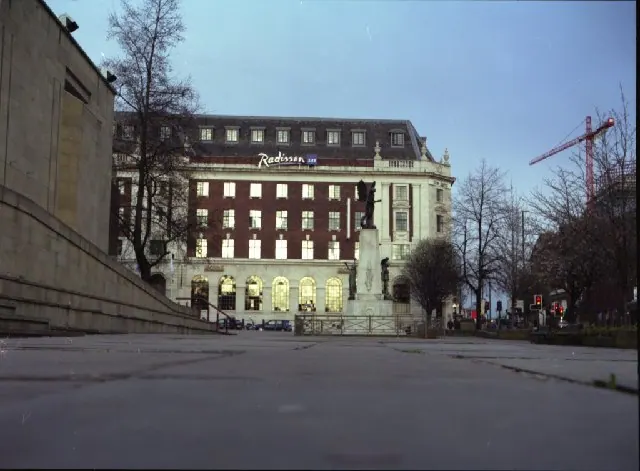
© Mike Wallis · Geograph · CC BY-SA 2.0

© Steve Partridge · Geograph · CC BY-SA 2.0
© Bill Henderson · Geograph · CC BY-SA 2.0
Images © their respective photographers, licensed under CC BY-SA 2.0 and reused here with attribution. Photographs depict listed buildings, churches and monuments near this settlement and may show neighbouring villages.
Data derived from the Open Domesday project (opendomesday.org), based on the Domesday Book dataset compiled by Professor J.J.N. Palmer and team. The Domesday Book (1086) is in the public domain.
Found an inaccuracy? [email protected]