Beeley in the Domesday Book (1086)
Beeley appears in the Domesday Book of 1086, entered under the hundred of Blackwell in Derbyshire.
Other Settlements in Blackwell
- Abney
- Ashford [-in-the-Water]
- Aston
- Bakewell
- Bamford
- Baslow
- Birchills
- Birchover
- Blackwell
- Bradwell
- Bubnell
- Burley
- Burton
- Calver
The Meaning of the Name
The name Beeley is of Anglo-Saxon origin. Its final element derives from the Old English word lēah, a woodland clearing or glade. The first element is most likely a personal name or an early descriptive term, now difficult to recover with certainty. Taken together the name probably meant something close to ‘a clearing’.
Remarkably, the name has changed little since 1086, when the Domesday scribes wrote it as Beeley.
Listed Buildings Near Beeley
Historic England records 24 listed buildings within about a mile of Beeley. Listing protects structures of special architectural or historic interest, graded I (exceptional), II* (particularly important) and II.
Grade II*
- Old Hall Attached Walls and Doorway - 0.11 km
- Church of St Anne - 0.21 km
- Beeley Hilltop House - 1.01 km
- One Arch Bridge - 1.11 km
Grade II
- The Square - 0.07 km
- Norman House Attached Cottage and Barn - 0.08 km
- Post Office and Adjoining Cottage to the West - 0.09 km
- Barn to West of Norman House - 0.09 km
- Devonshire Arms - 0.09 km
- Pynot Cottage - 0.1 km
- The Cottage - 0.1 km
- Old School and Attached Walls - 0.11 km
- Outbuilding to North East of Old Hall - 0.13 km
- Fold Cottage - 0.14 km
- The Dukes Barn - 0.14 km
- Dorset House, attached Coach House and Walls - 0.18 km
- Fallange Farmhouse - 1.02 km
- Beeley Hilltop Farm Cottage and Attached Outbuildings - 1.03 km
- Beeley Lodge at South End of Chatsworth Park - 1.04 km
- Calton Lees House - 1.05 km
- Moor View - 1.09 km
- Calton Lees Farmhouse - 1.11 km
- Bridge House - 1.13 km
- Water Trough North West of Bridge House - 1.23 km
Scheduled Monuments Near Beeley
Scheduled monuments are nationally important archaeological sites given legal protection. 2 lie within roughly a mile of Beeley:
- One Arch Bridge - 1.11 km
- Triple cairn, cairnfield and bole sites extending south westwards from Raven Tor - 1.55 km
Beeley Today
Today Beeley lies within the administrative area of Derbyshire Dales, and the settlement recorded a population of 142 at the 2021 census. Nine and a half centuries separate that figure from the small rural community the Domesday survey recorded here in 1086.
Read more about modern Beeley on Wikipedia .
Nearby Domesday Settlements
Other places recorded in the 1086 survey within a few miles:
- Rowsley - 2.2 km SW
- Edensor - 2.8 km NW
- Langley - 2.8 km NW
- Chatsworth - 3.0 km N
- Burley - 3.2 km S
- Stanton -in-Peak - 3.6 km SW
Heritage Around Beeley
Photographs of churches, listed buildings and monuments in the vicinity, contributed by volunteers to the Geograph project and reused here under a Creative Commons licence.
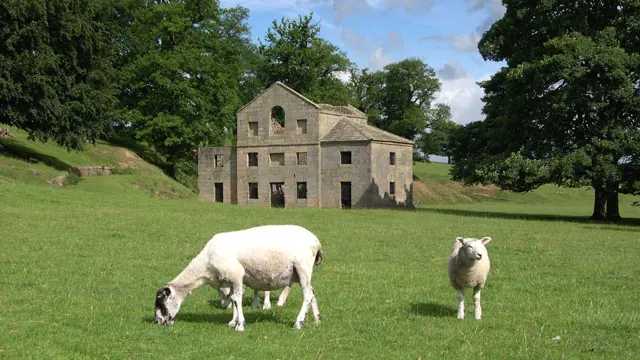
© Peter Tarleton · Geograph · CC BY-SA 2.0
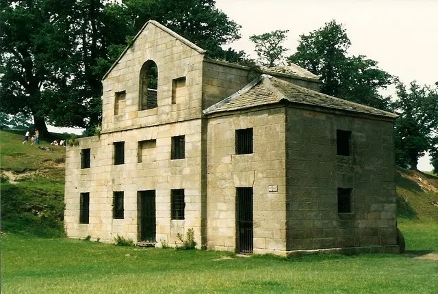
© Richard Croft · Geograph · CC BY-SA 2.0
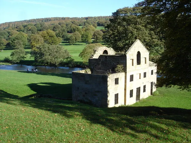
© Roger McLachlan · Geograph · CC BY-SA 2.0
Images © their respective photographers, licensed under CC BY-SA 2.0 and reused here with attribution. Photographs depict listed buildings, churches and monuments near this settlement and may show neighbouring villages.
Data derived from the Open Domesday project (opendomesday.org), based on the Domesday Book dataset compiled by Professor J.J.N. Palmer and team. The Domesday Book (1086) is in the public domain.
Found an inaccuracy? [email protected]