Bedale in the Domesday Book (1086)
The settlement of Bedale is recorded in William I’s Domesday survey of 1086, entered under the hundred of Land of Count Alan in Yorkshire. The survey assessed Bedale at 4 carucates of taxable land.
At the time of the survey, Bedale supported a recorded population of 22 villagers, 18 smallholders, 2 slaves, working 7 ploughs between them.
By 1086 Bedale was worth 17.5 shillings, up from 7.5 shillings before the Conquest – a sign this community came through the Conquest without being ruined.
The survey lists 2 manors at Bedale under different lords. Splitting a single settlement between multiple tenants was common across the North – Saxon estates broken up and handed to William’s followers after 1066.
Resources Recorded at Bedale (1086)
- Churches: 1
- Meadow: 36 acres
Other Settlements in Land of Count Alan
- Achebi
- Agglethorpe
- Ainderby [Mires]
- Ainderby [Quernhow]
- Aiskew
- Aldbrough
- Allerthorpe [Hall]
- Ascam
- Ascham
- Asebi
- Aske [Hall]
- Askrigg
- Aysgarth
- Baldersby
The Meaning of the Name
The name Bedale is of Scandinavian origin. Its final element derives from the Old Norse word dalr, a valley. The first element is most likely a personal name or an early descriptive term, now difficult to recover with certainty. Taken together the name probably meant something close to ‘a valley’.
Names of this type are a fingerprint of Scandinavian settlement: they cluster across the old Danelaw, where Norse-speaking settlers renamed or founded villages from the late 9th century onward.
Remarkably, the name has changed little since 1086, when the Domesday scribes wrote it as Bedale.
Listed Buildings Near Bedale
Historic England records 66 listed buildings within about a mile of Bedale. Listing protects structures of special architectural or historic interest, graded I (exceptional), II* (particularly important) and II.
Grade I
- Church of Saint Gregory - 0.05 km
- Bedale Hall - 0.13 km
- Market Cross - 0.2 km
Grade II
- 3, North End - 0.07 km
- Cottage Within Churchyard - 0.08 km
- War Memorial to South of St Gregory’s Church - 0.08 km
- Gateway to Church of St Gregory (Approximately 20 Metres South of Church) - 0.09 km
- St Gregory House and Attached Wall - 0.1 km
- 7 and 9, North End - 0.1 km
- 13-19, North End - 0.12 km
- 21, North End - 0.14 km
- House Adjoining Rear of Bedale Hall (South Side) - 0.15 km
- 4 and 6, North End - 0.16 km
- 23-29 (inclusive), North End, Bedale - 0.16 km
- 31 and 33, North End - 0.17 km
- Number 8 and Attached Railings - 0.17 km
- 10, North End - 0.18 km
- Oak House - 0.18 km
- 12 and 14, North End - 0.19 km
- 1 and 3, Market Place - 0.2 km
- 16, North End - 0.2 km
- The Three Coopers - 0.2 km
- 5, 5A and 7, Market Place - 0.21 km
- Amen House, Walls, Fives Court, Store, and Yard to West of Bedale Hall - 0.21 km
…and 42 more listed structures in the area.
Scheduled Monuments Near Bedale
Scheduled monuments are nationally important archaeological sites given legal protection. 1 lies within roughly a mile of Bedale:
Bedale Today
Today Bedale lies within the administrative area of Hambleton, and the settlement recorded a population of 3,288 at the 2021 census. Nine and a half centuries separate that figure from the small rural community the Domesday survey recorded here in 1086.
Read more about modern Bedale on Wikipedia .
Nearby Domesday Settlements
Other places recorded in the 1086 survey within a few miles:
- Aiskew - 1.0 km E
- Firby - 2.0 km S
- Great Crakehall - 2.2 km NW
- Thorp Perrow - 3.0 km S
- Burrill - 3.2 km W
- Cowling - 3.2 km W
Heritage Around Bedale
Photographs of churches, listed buildings and monuments in the vicinity, contributed by volunteers to the Geograph project and reused here under a Creative Commons licence.
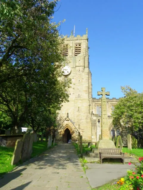
© Maigheach-gheal · Geograph · CC BY-SA 2.0
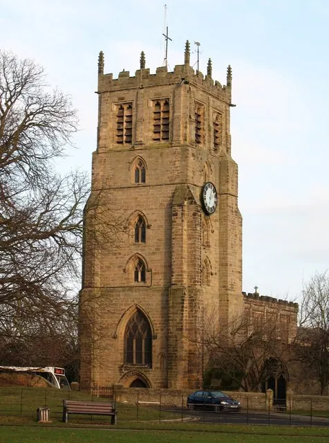
© Gordon Hatton · Geograph · CC BY-SA 2.0
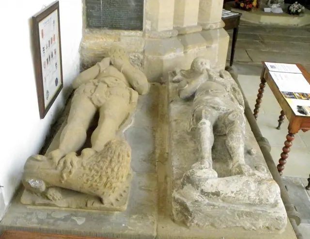
© Maigheach-gheal · Geograph · CC BY-SA 2.0
Images © their respective photographers, licensed under CC BY-SA 2.0 and reused here with attribution. Photographs depict listed buildings, churches and monuments near this settlement and may show neighbouring villages.
Location
54.2913°N, -1.5928°W · Land of Count Alan hundred, Yorkshire
View larger map on OpenStreetMap →Data derived from the Open Domesday project (opendomesday.org), based on the Domesday Book dataset compiled by Professor J.J.N. Palmer and team. The Domesday Book (1086) is in the public domain.
Found an inaccuracy? [email protected]