Beamsley in the Domesday Book (1086)
Beamsley appears in the Domesday Book of 1086, entered under the hundred of Craven in Yorkshire. The survey assessed Beamsley at 3 carucates of taxable land.
At the time of the survey, Beamsley supported a recorded population of 1 villager, 8 smallholders, 5 slaves, working 2 ploughs between them.
The survey records Beamsley’s value at 3 shillings in 1086. No pre-Conquest figure survives – not unusual in the North, where records were disrupted by the Harrying and by the patchy coverage of the survey.
Resources Recorded at Beamsley (1086)
- Mills: 1 mill (valued at 5d)
- Meadow: 25 acres
Other Settlements in Craven
- Addingham
- Airton
- Anley
- Appletreewick
- Arncliffe
- Arnford
- Barnoldswick
- Bashall [Eaves]
- Battersby [Barn]
- Birkby [Hall]
- Bogeuurde
- Bolton [Abbey]
- Bolton [by Bowland]
- Bordley
The Meaning of the Name
The name Beamsley is of Anglo-Saxon origin. Its final element derives from the Old English word lēah, a woodland clearing or glade. The first element is most likely a personal name or an early descriptive term, now difficult to recover with certainty. Taken together the name probably meant something close to ‘a clearing’.
Remarkably, the name has changed little since 1086, when the Domesday scribes wrote it as Beamsley.
Listed Buildings Near Beamsley
Historic England records 24 listed buildings within about a mile of Beamsley. Listing protects structures of special architectural or historic interest, graded I (exceptional), II* (particularly important) and II.
Grade I
- Beamsley Hospital (North Range) - 0.72 km
- 2 Pairs of Gate Piers and Linking Walls With Summer-house Attached to Rear of Farfield Hall - 1.19 km
- Farfield Hall - 1.21 km
Grade II*
- Beamsley Hospital (South Range) - 0.66 km
- Friends’ Meeting House - 1.2 km
Grade II
- Pembroke Lodge the Mullions - 0.65 km
- Wharfe View - 0.7 km
- Beamsley Mill - 0.77 km
- Barn Approximately 10 Metres to Rear of Hardy Grange Farm - 0.82 km
- Hardy Grange Farmhouse - 0.84 km
- Barn Approximately 50 Metres to East of Beamsley Hall - 1.02 km
- Paradise Laithe - 1.05 km
- Beamsley Hall - 1.1 km
- Farfield Cottages - 1.15 km
- Currer Hall - 1.15 km
- 5 Attached Chest Tombs to the Myers Family 30 Metres to the North East of the Friends’ Meeting House - 1.17 km
- Walls and Gateway Enclosing Graveyard and Friends’ Meeting House - 1.19 km
- Garden Sculpture of Cherub and Dog Set 5 Metres West of Main Entrance to Rear Garden at Farfield Hall - 1.19 km
- Currer Hall Cottage - 1.19 km
- Gate Piers at South Entrance to Farfield Hall - 1.2 km
- Raised Terrace, Balustrade and Steps to South Front of Farfield Hall - 1.21 km
- Coach-house 15 Metres West of Kitchen Wing of Farfield Hall - 1.24 km
- Gate Piers and Attached Walls Enclosing Orchard 5 Metres to North West of Coach House at Farfield Hall - 1.29 km
- Steps, Walls and Urns 150 Metres South West of Farfield Hall - 1.29 km
Beamsley Today
Today Beamsley lies within the administrative area of Craven, and the settlement recorded a population of 128 at the 2021 census. Nine and a half centuries separate that figure from the small rural community the Domesday survey recorded here in 1086.
Read more about modern Beamsley on Wikipedia .
Nearby Domesday Settlements
Other places recorded in the 1086 survey within a few miles:
- Bolton Abbey - 1.4 km NW
- Addingham - 3.0 km S
- Nesfield - 3.2 km S
- Halton East - 4.1 km W
- Draughton - 5.0 km W
- Middleton - 5.0 km SE
Heritage Around Beamsley
Photographs of churches, listed buildings and monuments in the vicinity, contributed by volunteers to the Geograph project and reused here under a Creative Commons licence.
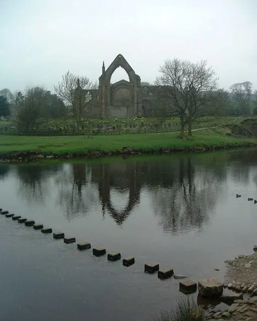
© Paul Baxter · Geograph · CC BY-SA 2.0
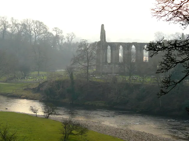
© sylvia duckworth · Geograph · CC BY-SA 2.0
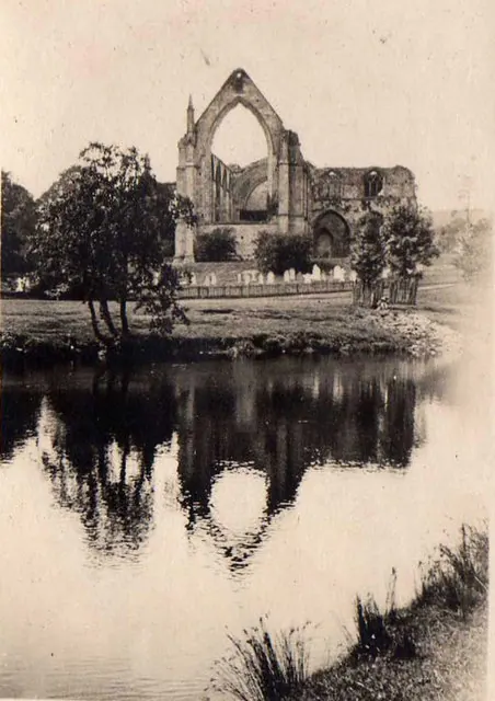
© Ann Matthews · Geograph · CC BY-SA 2.0
Images © their respective photographers, licensed under CC BY-SA 2.0 and reused here with attribution. Photographs depict listed buildings, churches and monuments near this settlement and may show neighbouring villages.
Data derived from the Open Domesday project (opendomesday.org), based on the Domesday Book dataset compiled by Professor J.J.N. Palmer and team. The Domesday Book (1086) is in the public domain.
Found an inaccuracy? [email protected]