Battersby in the Domesday Book (1086)
The settlement of Battersby is recorded in William I’s Domesday survey of 1086, entered under the hundred of Langbaurgh in Yorkshire.
Other Settlements in Langbaurgh
- Acklam
- Airy [Holme]
- Aislaby
- Arnodestorp
- Baldebi
- Barnaby
- Barwick
- Bergolbi
- Berguluesbi
- Blaten [Carr]
- Borrowby
- Breck
- Brotton
- Caldenesche
The Meaning of the Name
The name Battersby is of Scandinavian origin. Its final element derives from the Old Norse word bý, a farmstead or village. The first element is most likely a personal name or an early descriptive term, now difficult to recover with certainty. Taken together the name probably meant something close to ‘a farmstead’.
Names of this type are a fingerprint of Scandinavian settlement: they cluster across the old Danelaw, where Norse-speaking settlers renamed or founded villages from the late 9th century onward.
Remarkably, the name has changed little since 1086, when the Domesday scribes wrote it as Battersby.
Listed Buildings Near Battersby
Historic England records 11 listed buildings within about a mile of Battersby. Listing protects structures of special architectural or historic interest, graded I (exceptional), II* (particularly important) and II.
Grade II
- The Old Hall - 0.05 km
- Bridge Over Beck to North East of the Old Hall - 0.08 km
- High Farmhouse and Attached Farmbuilding - 0.08 km
- Range of three farmbuildings and attached engine house to north west of Centre Farmhouse - 0.16 km
- Farmbuildings to West of Holme Farmhouse - 0.16 km
- Holme Farmhouse and Attached Outbuilding With Garages - 0.18 km
- Low Farmhouse and Attached Cowhouse to North - 0.85 km
- Farmbuilding Approximately 45 Metres to South West of Dundale Beck Farmhouse - 0.94 km
- Barn at Approximately 50 Metres to South-east of House - 1.15 km
- Cowhouse and pigsty range attached to right of Park Farmhouse - 1.16 km
- Park Farmhouse and Attached Farmbuilding to Left - 1.17 km
Scheduled Monuments Near Battersby
Scheduled monuments are nationally important archaeological sites given legal protection. 3 lie within roughly a mile of Battersby:
- Easby castle motte - 1.18 km
- Cross dyke 850m WSW of Baysdale Farm - 1.41 km
- Round barrow 550m west of Baysdale Farm - 1.49 km
Battersby Today
Today Battersby lies within the administrative area of Ingleby Greenhow.
Read more about modern Battersby on Wikipedia .
Nearby Domesday Settlements
Other places recorded in the 1086 survey within a few miles:
- Camisedale - 1.4 km SW
- Ingleby Greenhow - 1.4 km SW
- Easby - 2.2 km NW
- Kildale - 2.2 km NE
- Little Broughton - 3.2 km W
- Little Ayton - 3.6 km NW
Heritage Around Battersby
Photographs of churches, listed buildings and monuments in the vicinity, contributed by volunteers to the Geograph project and reused here under a Creative Commons licence.
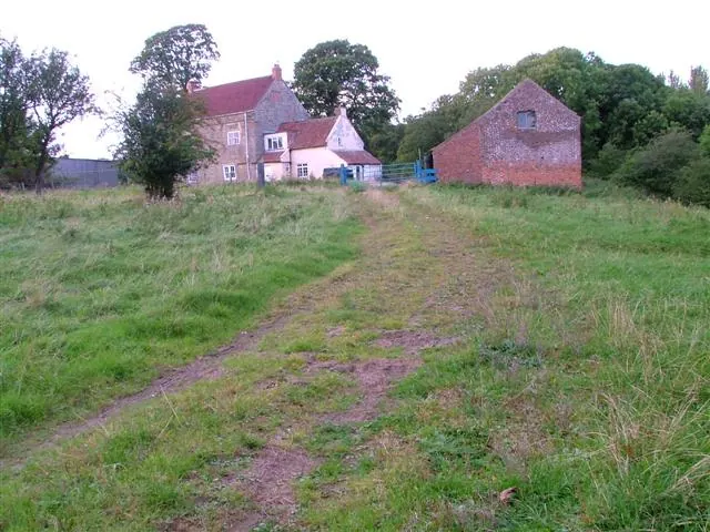
© Mick Garratt · Geograph · CC BY-SA 2.0
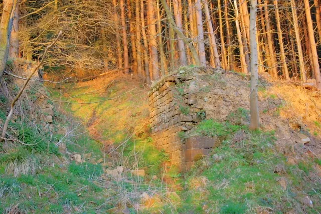
© Mick Garratt · Geograph · CC BY-SA 2.0
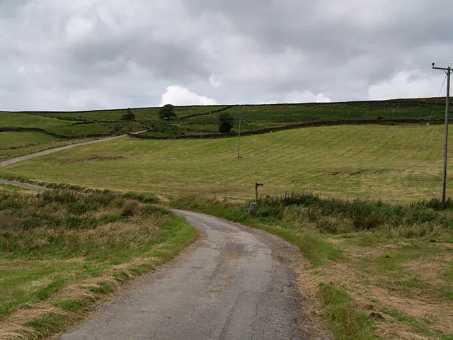
© Stephen McCulloch · Geograph · CC BY-SA 2.0
Images © their respective photographers, licensed under CC BY-SA 2.0 and reused here with attribution. Photographs depict listed buildings, churches and monuments near this settlement and may show neighbouring villages.
Data derived from the Open Domesday project (opendomesday.org), based on the Domesday Book dataset compiled by Professor J.J.N. Palmer and team. The Domesday Book (1086) is in the public domain.
Found an inaccuracy? [email protected]