Battersby Barn in the Domesday Book (1086)
Battersby Barn is named in the Domesday Book, compiled by Norman commissioners in 1086, entered under the hundred of Craven in Yorkshire.
Other Settlements in Craven
- Addingham
- Airton
- Anley
- Appletreewick
- Arncliffe
- Arnford
- Barnoldswick
- Bashall [Eaves]
- Beamsley
- Birkby [Hall]
- Bogeuurde
- Bolton [Abbey]
- Bolton [by Bowland]
- Bordley
The Meaning of the Name
The name Battersby Barn is of Scandinavian origin. Its final element derives from the Old Norse word bý, a farmstead or village. The first element is most likely a personal name or an early descriptive term, now difficult to recover with certainty. Taken together the name probably meant something close to ‘a farmstead’.
Names of this type are a fingerprint of Scandinavian settlement: they cluster across the old Danelaw, where Norse-speaking settlers renamed or founded villages from the late 9th century onward.
Remarkably, the name has changed little since 1086, when the Domesday scribes wrote it as Battersby Barn.
Listed Buildings Near Battersby Barn
Historic England records 46 listed buildings within about a mile of Battersby Barn. Listing protects structures of special architectural or historic interest, graded I (exceptional), II* (particularly important) and II.
Grade II*
- Townhead - 0.46 km
Grade II
- Knott Gate - 0.37 km
- Ivy Cottage - 0.4 km
- Railings, Gate Piers and Gates South of Rock House - 0.42 km
- Rock House and Barn Adjoining to West - 0.42 km
- Church Stile Farmhouse - 0.5 km
- 5, 7 and 9, Town End - 0.51 km
- 31, Church Street - 0.52 km
- 33, Church Street - 0.52 km
- 12, Church Street - 0.53 km
- 1, Town End - 0.53 km
- 18 and 20, Church Street - 0.53 km
- 3, Town End - 0.53 km
- Number 19 and Barn Adjoining to South - 0.53 km
- 16, Church Street - 0.53 km
- Former Stable Adjoining to the North East of Number 27 - 0.53 km
- The Hark to Bounty - 0.53 km
- 8, Church Street - 0.54 km
- 17, Church Street - 0.54 km
- 4, Church Street - 0.54 km
- 13 and 15, Church Street - 0.54 km
- Highcross - 0.54 km
- Number 2 and Shop (Central Stores) Adjoining to North - 0.54 km
- Cross Shaft, 2 Metres North of Tower, Church of St Andrew - 0.54 km
…and 22 more listed structures in the area.
Nearby Domesday Settlements
Other places recorded in the 1086 survey within a few miles:
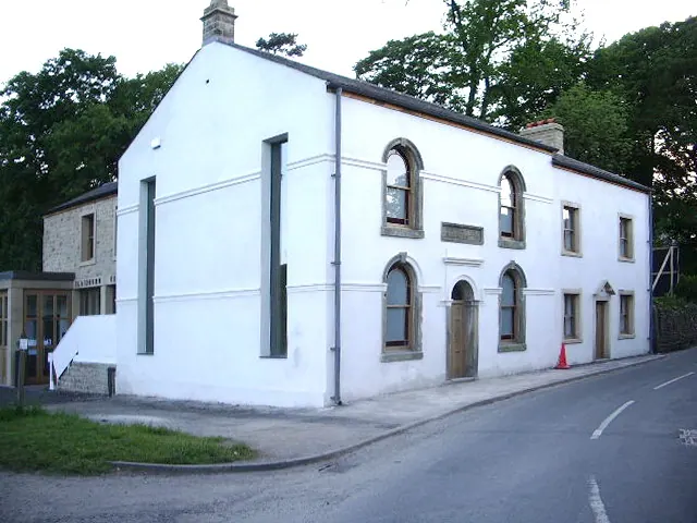
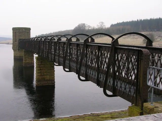
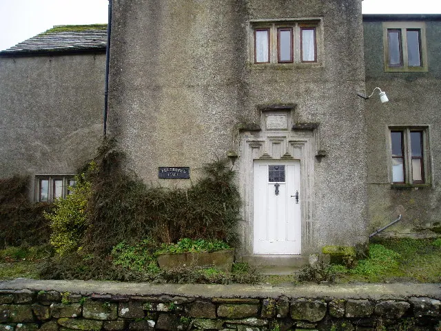
Heritage Around Battersby [Barn]
Photographs of churches, listed buildings and monuments in the vicinity, contributed by volunteers to the Geograph project and reused here under a Creative Commons licence.
© Alexander P Kapp · Geograph · CC BY-SA 2.0
© John H Darch · Geograph · CC BY-SA 2.0
© Charles Rawding · Geograph · CC BY-SA 2.0
Images © their respective photographers, licensed under CC BY-SA 2.0 and reused here with attribution. Photographs depict listed buildings, churches and monuments near this settlement and may show neighbouring villages.
Data derived from the Open Domesday project (opendomesday.org), based on the Domesday Book dataset compiled by Professor J.J.N. Palmer and team. The Domesday Book (1086) is in the public domain.
Found an inaccuracy? [email protected]