Baslow in the Domesday Book (1086)
The settlement of Baslow is recorded in William I’s Domesday survey of 1086, entered under the hundred of Blackwell in Derbyshire.
Other Settlements in Blackwell
- Abney
- Ashford [-in-the-Water]
- Aston
- Bakewell
- Bamford
- Beeley
- Birchills
- Birchover
- Blackwell
- Bradwell
- Bubnell
- Burley
- Burton
- Calver
The Meaning of the Name
The origin of the name Baslow is not securely established from its modern form alone; like many settlement names in the North it likely combines an Old English or Old Norse personal name with a landscape term.
Remarkably, the name has changed little since 1086, when the Domesday scribes wrote it as Baslow.
Listed Buildings Near Baslow
Historic England records 23 listed buildings within about a mile of Baslow. Listing protects structures of special architectural or historic interest, graded I (exceptional), II* (particularly important) and II.
Grade I
- Baslow Bridge - 0.5 km
Grade II*
- Church of St Anne - 0.44 km
Grade II
- The Old Chapel - 0.11 km
- Greystone Cottage - 0.24 km
- Corner Cottage Willow Cottage - 0.33 km
- The Cavendish Hotel - 0.33 km
- Churchyard Cross Circa 40 Metres North of St Annes Church - 0.39 km
- Monument 10 metres South East of St Annes Church - 0.43 km
- Sundial 6 Metres South of St Annes Church - 0.44 km
- Lychgate to Churchyard of Baslow Parish Church - 0.45 km
- Barbrook Old Bridge - 0.47 km
- K6 Telephone Kiosk Near Toll Bar Cottage - 0.48 km
- Milepost at Os260722 - 0.5 km
- Thatched Cottage - 0.52 km
- Park Lodge - 0.52 km
- Baslow Lodges Gates Piers and Railings at North Entrance to Chatsworth Park - 0.59 km
- Baslow Hall - 0.68 km
- Bubnell Hall - 0.75 km
- Milepost at Os 250 718 - 0.83 km
- Bubnell House and Bubnell House East - 1.0 km
- Heathy Lea - 1.03 km
- Thatch Meadow - 1.07 km
- White Lodge - 1.18 km
Scheduled Monuments Near Baslow
Scheduled monuments are nationally important archaeological sites given legal protection. 2 lie within roughly a mile of Baslow:
- Baslow Bridge - 0.5 km
- Cairnfield and field system on Eaglestone Flat, 100m south west of Eagle Stone - 1.42 km
Baslow Today
Today Baslow lies within the administrative area of Baslow and Bubnell, and the settlement recorded a population of 1,178 at recent figures. Nine and a half centuries separate that figure from the small rural community the Domesday survey recorded here in 1086.
Read more about modern Baslow on Wikipedia .
Nearby Domesday Settlements
Other places recorded in the 1086 survey within a few miles:
Heritage Around Baslow
Photographs of churches, listed buildings and monuments in the vicinity, contributed by volunteers to the Geograph project and reused here under a Creative Commons licence.
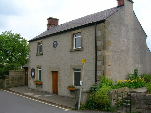
© John H Darch · Geograph · CC BY-SA 2.0
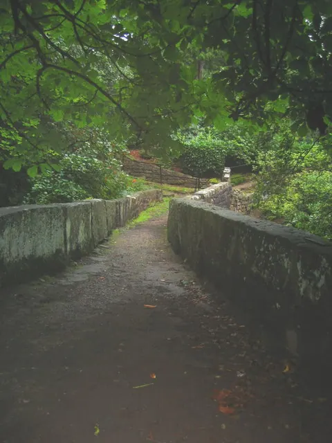
© Geoff · Geograph · CC BY-SA 2.0
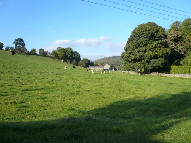
© Alan Heardman · Geograph · CC BY-SA 2.0
Images © their respective photographers, licensed under CC BY-SA 2.0 and reused here with attribution. Photographs depict listed buildings, churches and monuments near this settlement and may show neighbouring villages.
Data derived from the Open Domesday project (opendomesday.org), based on the Domesday Book dataset compiled by Professor J.J.N. Palmer and team. The Domesday Book (1086) is in the public domain.
Found an inaccuracy? [email protected]