Baschesbi in the Domesday Book (1086)
Baschesbi appears in the Domesday Book of 1086, entered under the hundred of Dic in Yorkshire. The survey assessed Baschesbi at 1.6 carucates of taxable land.
At the time of the survey, Baschesbi supported a recorded population of 14 smallholders, 3 slaves, 10 freemanmen, working 9 ploughs between them.
By 1086 Baschesbi was worth 8.75 shillings, up from 8 shillings before the Conquest – one of the few settlements in the area to hold its value through the upheaval.
Resources Recorded at Baschesbi (1086)
- Cattle: 6
- Pigs: 12
- Sheep: 37
- Meadow: 16 acres
- Woodland: 100 pigs
Other Settlements in Dic
- Aislaby
- Allerston
- Appleton [le Moors]
- Aschelesmersc
- Aschilesmares
- Barton [le Street]
- Baschebi
- Brompton
- Burniston
- Burton [Dale]
- Cawthorn
- Cayton
- Chigogemers
- Chigomersc
The Meaning of the Name
The origin of the name Baschesbi is not securely established from its modern form alone; like many settlement names in the North it likely combines an Old English or Old Norse personal name with a landscape term.
Remarkably, the name has changed little since 1086, when the Domesday scribes wrote it as Baschesbi.
Listed Buildings Near Baschesbi
Historic England records 17 listed buildings within about a mile of Baschesbi. Listing protects structures of special architectural or historic interest, graded I (exceptional), II* (particularly important) and II.
Grade I
- Church of St Mary - 0.2 km
Grade II
- Vicarage - 0.12 km
- Headstone Approximately 10 Metres South East of St Mary’s Church - 0.22 km
- The Old Mill - 0.25 km
- Stable Block Attached to North East of the Old Mill - 0.26 km
- St Cedd’s Well - 0.31 km
- St Cedds House - 0.33 km
- K6 Telephone Kiosk - 0.35 km
- St Chad’s Well - 0.36 km
- St Ovins Well - 0.36 km
- Jackson’s Bridge - 0.37 km
- Mount Pleasant Farmhouse - 0.37 km
- Home Farmhouse - 0.38 km
- Victoria Cross - 0.44 km
- Woodmans Cottage - 0.6 km
- Hill Top Farmhouse - 0.64 km
- Pound - 0.67 km
Baschesbi Today
Today Baschesbi lies within the administrative area of Ryedale, and the settlement recorded a population of 93 at the 2021 census. Nine and a half centuries separate that figure from the small rural community the Domesday survey recorded here in 1086.
Read more about modern Lastingham on Wikipedia .
Nearby Domesday Settlements
Other places recorded in the 1086 survey within a few miles:
- Baschebi - 0.0 km N
- Lastingham - 0.0 km N
- Spaunton - 1.0 km S
- Hutton le Hole - 2.0 km W
- Appleton le Moors - 2.2 km SE
- Cropton - 3.2 km E
Heritage Around Baschesbi
Photographs of churches, listed buildings and monuments in the vicinity, contributed by volunteers to the Geograph project and reused here under a Creative Commons licence.
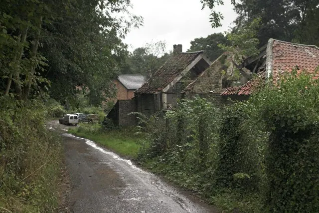
© Colin Grice · Geograph · CC BY-SA 2.0
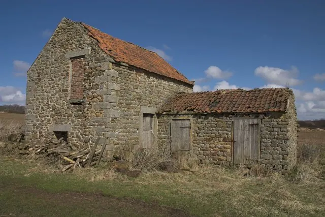
© Colin Grice · Geograph · CC BY-SA 2.0
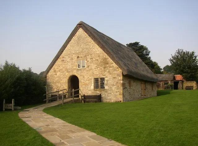
© Humphrey Bolton · Geograph · CC BY-SA 2.0
Images © their respective photographers, licensed under CC BY-SA 2.0 and reused here with attribution. Photographs depict listed buildings, churches and monuments near this settlement and may show neighbouring villages.
Data derived from the Open Domesday project (opendomesday.org), based on the Domesday Book dataset compiled by Professor J.J.N. Palmer and team. The Domesday Book (1086) is in the public domain.
Found an inaccuracy? [email protected]