Barugh in the Domesday Book (1086)
Barugh is named in the Domesday Book, compiled by Norman commissioners in 1086, entered under the hundred of Staincross in Yorkshire.
Other Settlements in Staincross
- Adlingfleet
- Barnby [Hall]
- Barnsley
- Brierley
- Carlton
- Cawthorne
- Chevet
- Clactone
- Clayton [West]
- Darton
- Dodworth
- Hemsworth
- Hoyland [Swaine]
- Hunshelf [Hall]
The Meaning of the Name
The origin of the name Barugh is not securely established from its modern form alone; like many settlement names in the North it likely combines an Old English or Old Norse personal name with a landscape term.
Remarkably, the name has changed little since 1086, when the Domesday scribes wrote it as Barugh.
Listed Buildings Near Barugh
Historic England records 5 listed buildings within about a mile of Barugh. Listing protects structures of special architectural or historic interest, graded I (exceptional), II* (particularly important) and II.
Grade II
- Milepost Approximately 500 Metres North of Junction With Barugh Green Lane - 0.22 km
- Milepost Aproximately 500 Metres West of Junction With Claycliffe Road - 0.51 km
- Barugh Bridge - 0.78 km
- Former Aqueduct Over Silkstone Beck at North East End of Former Barnby Basin Approximately 150 Metres North of Barnby Bridge - 1.26 km
- Barn Attached to North Side of Royd Hill Farmhouse - 1.28 km
Barugh Today
Today Barugh lies within the administrative area of Barnsley.
Read more about modern Barugh on Wikipedia .
Nearby Domesday Settlements
Other places recorded in the 1086 survey within a few miles:
Heritage Around Barugh
Photographs of churches, listed buildings and monuments in the vicinity, contributed by volunteers to the Geograph project and reused here under a Creative Commons licence.
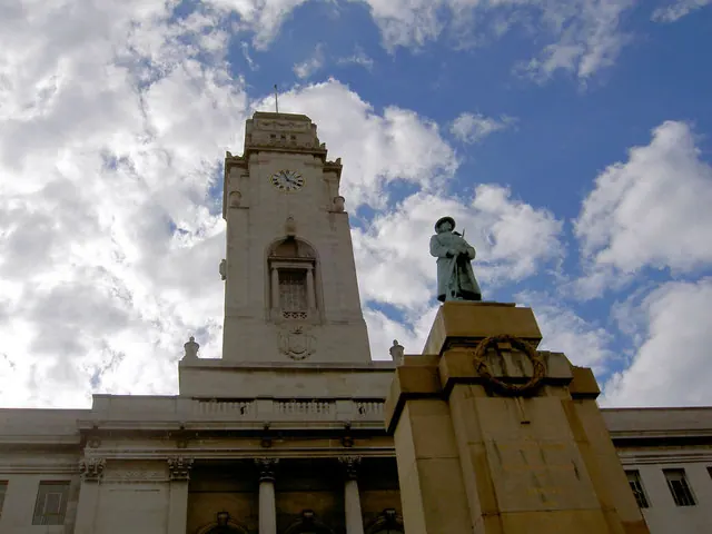
© Steve Fareham · Geograph · CC BY-SA 2.0
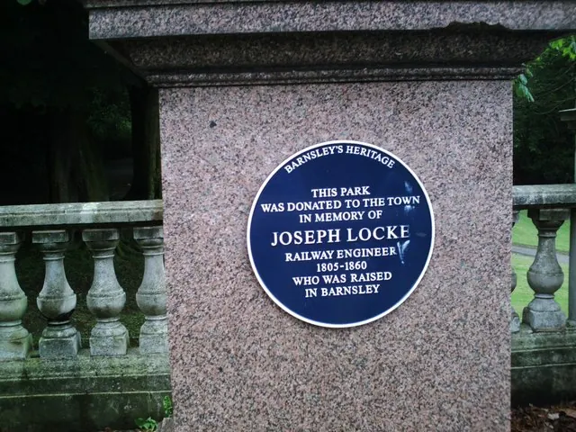
© Peter Beard · Geograph · CC BY-SA 2.0
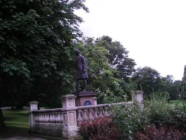
© Peter Beard · Geograph · CC BY-SA 2.0
Images © their respective photographers, licensed under CC BY-SA 2.0 and reused here with attribution. Photographs depict listed buildings, churches and monuments near this settlement and may show neighbouring villages.
Data derived from the Open Domesday project (opendomesday.org), based on the Domesday Book dataset compiled by Professor J.J.N. Palmer and team. The Domesday Book (1086) is in the public domain.
Found an inaccuracy? [email protected]