Barton in the Domesday Book (1086)
Barton appears in the Domesday Book of 1086, entered under the hundred of Amounderness in Yorkshire.
Other Settlements in Amounderness
- Aighton
- Aldcliffe
- Aldingham
- Arkholme
- Aschebi
- Ashton [Hall]
- Ashton [on Ribble]
- Austwick
- Barbon
- Bardsea
- Bare
- Barnoldswick
- Beetham
- Bispham
The Meaning of the Name
The name Barton is of Anglo-Saxon origin. Its final element derives from the Old English word tūn, a farmstead or village. The first element is most likely a personal name or an early descriptive term, now difficult to recover with certainty. Taken together the name probably meant something close to ‘a farmstead’.
Remarkably, the name has changed little since 1086, when the Domesday scribes wrote it as Barton.
Listed Buildings Near Barton
Historic England records 7 listed buildings within about a mile of Barton. Listing protects structures of special architectural or historic interest, graded I (exceptional), II* (particularly important) and II.
Grade II
- Church of Saint Lawrence - 0.26 km
- Milestone on West Side of Road Opposite Number 650 - 0.73 km
- Milestone on West Side of Road in Front of Numbers 931 and 933 - 0.89 km
- Park Head Bridge (Number 41) - 0.99 km
- Hankinson Bridge (Number 40) - 1.07 km
- White Horse Bridge (Number 42) - 1.07 km
- Lancaster Canal Hepgreave Bridge Number 39 - 1.29 km
Barton Today
Today Barton lies within the administrative area of Preston, and the settlement recorded a population of 1,504 at the 2021 census. Nine and a half centuries separate that figure from the small rural community the Domesday survey recorded here in 1086.
Read more about modern Barton on Wikipedia .
Nearby Domesday Settlements
Other places recorded in the 1086 survey within a few miles:
- Newsham - 1.0 km S
- Threlfall’s Farm - 2.8 km SE
- Whittingham Hall - 3.2 km E
- Broughton - 3.2 km S
- Woodplumpton - 3.6 km SW
- Sowerby Hall - 4.1 km W
Heritage Around Barton
Photographs of churches, listed buildings and monuments in the vicinity, contributed by volunteers to the Geograph project and reused here under a Creative Commons licence.
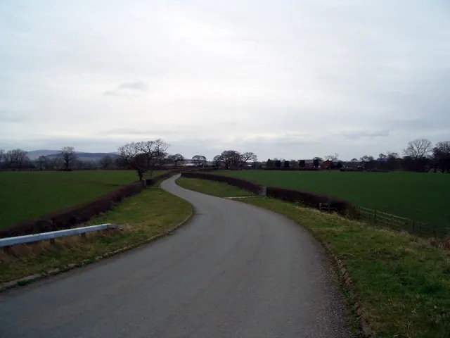
© Keith Wright · Geograph · CC BY-SA 2.0
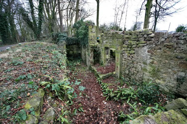
© Bob Jenkins · Geograph · CC BY-SA 2.0
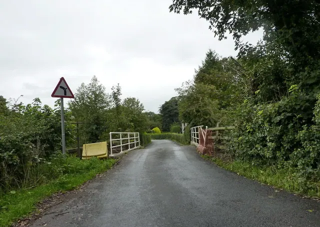
© Alexander P Kapp · Geograph · CC BY-SA 2.0
Images © their respective photographers, licensed under CC BY-SA 2.0 and reused here with attribution. Photographs depict listed buildings, churches and monuments near this settlement and may show neighbouring villages.
Data derived from the Open Domesday project (opendomesday.org), based on the Domesday Book dataset compiled by Professor J.J.N. Palmer and team. The Domesday Book (1086) is in the public domain.
Found an inaccuracy? [email protected]