Bartington in the Domesday Book (1086)
The 1086 Domesday survey records the settlement of Bartington, entered under the hundred of Bucklow in Cheshire.
Other Settlements in Bucklow
- Appleton
- Ashley
- Aston [by Budworth]
- Aston [by Sutton]
- Clifton
- Dunham [Massey]
- Eanley
- Grappenhall
- Lymm
- Mobberley
- Northenden
- Norton
- Ollerton
- Tatton
The Meaning of the Name
The name Bartington is of Anglo-Saxon origin. Its final element derives from the Old English word tūn, a farmstead or village. The first element is most likely a personal name or an early descriptive term, now difficult to recover with certainty. Taken together the name probably meant something close to ‘a farmstead’.
Remarkably, the name has changed little since 1086, when the Domesday scribes wrote it as Bartington.
Listed Buildings Near Bartington
Historic England records 15 listed buildings within about a mile of Bartington. Listing protects structures of special architectural or historic interest, graded I (exceptional), II* (particularly important) and II.
Grade II
- Trent and Mersey Canal Willowgreen Bridge (Canal Bridge Number 208) - 0.29 km
- Former Granary Approximately 8 Metres South West of Barn (2/52) - 0.51 km
- Holly Bush Cottage - 0.52 km
- Barn to Rear (South East) of the Holly Bush Public House - 0.52 km
- The Holly Bush Public House - 0.54 km
- Trent and Mersey Canal Bridge Number 210 - 0.54 km
- Sundial in the Front Garden, the Holly Bush Public House - 0.55 km
- Trent and Mersey Canal Canal Milepost at Ngr 602 765 - 0.55 km
- Bartington Hall Farmhouse - 0.57 km
- Fairlawns - 0.59 km
- Church of St Michael and All Angels - 1.08 km
- Lychgate to St Michael’s Churchyard - 1.09 km
- Barley Meadow Bridge (Canal Bridge Number 206) - 1.1 km
- Trent and Mersey Canal, Canal Milepost South East of Bridge Number 206 at Sj 61017538 - 1.16 km
- Easy Heath Farmhouse - 1.28 km
Bartington Today
Today Bartington lies within the administrative area of Dutton.
Nearby Domesday Settlements
Other places recorded in the 1086 survey within a few miles:
- Little Leigh - 1.4 km SE
- Cogshall - 3.2 km E
- Weaverham - 3.2 km S
- Higher and Lower Whitley - 3.2 km N
- Dutton - 4.2 km NW
- Winnington - 4.5 km SE
Heritage Around Bartington
Photographs of churches, listed buildings and monuments in the vicinity, contributed by volunteers to the Geograph project and reused here under a Creative Commons licence.
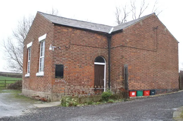
© David Long · Geograph · CC BY-SA 2.0
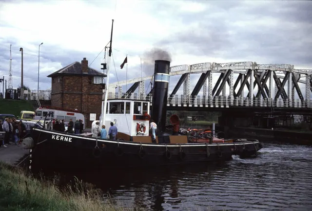
© Chris Allen · Geograph · CC BY-SA 2.0
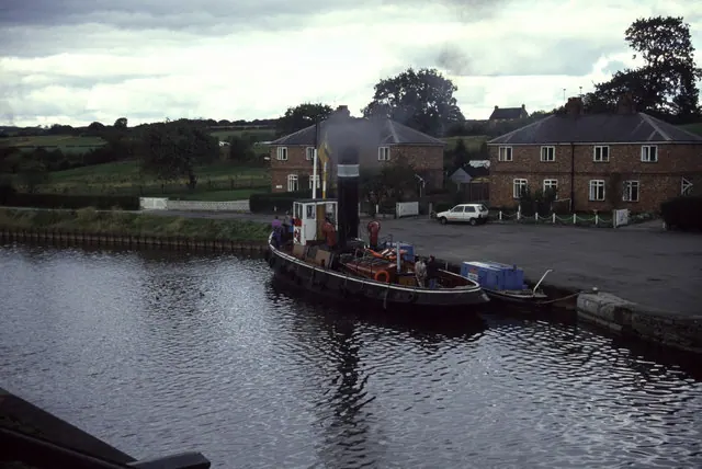
© Chris Allen · Geograph · CC BY-SA 2.0
Images © their respective photographers, licensed under CC BY-SA 2.0 and reused here with attribution. Photographs depict listed buildings, churches and monuments near this settlement and may show neighbouring villages.
Data derived from the Open Domesday project (opendomesday.org), based on the Domesday Book dataset compiled by Professor J.J.N. Palmer and team. The Domesday Book (1086) is in the public domain.
Found an inaccuracy? [email protected]