Barthomley in the Domesday Book (1086)
The settlement of Barthomley is recorded in William I’s Domesday survey of 1086, entered under the hundred of Warmundestrou in Cheshire. The survey assessed Barthomley at 1 carucate of taxable land.
At the time of the survey, Barthomley supported a recorded population of 6 smallholders, 1 slave, working 3 ploughs between them.
The survey records Barthomley’s value at 10d in 1086. No pre-Conquest figure survives – not unusual in the North, where records were disrupted by the Harrying and by the patchy coverage of the survey.
Other Settlements in Warmundestrou
- Acton
- Aston
- Aston [juxta Mondrem]
- Audlem
- Austerson
- Baddiley
- Basford
- Batherton
- Blakenhall
- Broomhall
- Buerton
- Cholmondeston
- Chorley
- Chorlton
The Meaning of the Name
The name Barthomley is of Anglo-Saxon origin. Its final element derives from the Old English word lēah, a woodland clearing or glade. The first element is most likely a personal name or an early descriptive term, now difficult to recover with certainty. Taken together the name probably meant something close to ‘a clearing’.
Remarkably, the name has changed little since 1086, when the Domesday scribes wrote it as Barthomley.
Listed Buildings Near Barthomley
Historic England records 15 listed buildings within about a mile of Barthomley. Listing protects structures of special architectural or historic interest, graded I (exceptional), II* (particularly important) and II.
Grade I
- The Church of St Bertoline - 0.19 km
Grade II*
- The White Lion Inn - 0.17 km
- Churchfield Farmhouse - 0.3 km
Grade II
- Church Bank - 0.1 km
- Brookside Cottage - 0.14 km
- Fir Tree Cottages - 0.15 km
- Bank Cottage - 0.17 km
- White Lion Cottages - 0.19 km
- The Former Rectory - 0.26 km
- The Smithy - 0.31 km
- Old Hall Farmhouse - 0.37 km
- Cherry Tree Farmhouse - 0.78 km
- Mill Farmhouse - 1.09 km
- Town House Farmhouse - 1.19 km
- Domvilles Farmhouse - 1.3 km
Barthomley Today
Today Barthomley lies within the administrative area of Cheshire East, and the settlement recorded a population of 218 at the 2021 census. Nine and a half centuries separate that figure from the small rural community the Domesday survey recorded here in 1086.
Read more about modern Barthomley on Wikipedia .
Nearby Domesday Settlements
Other places recorded in the 1086 survey within a few miles:
Heritage Around Barthomley
Photographs of churches, listed buildings and monuments in the vicinity, contributed by volunteers to the Geograph project and reused here under a Creative Commons licence.
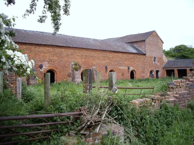
© Ian Bottomley · Geograph · CC BY-SA 2.0
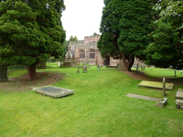
© Alexander P Kapp · Geograph · CC BY-SA 2.0
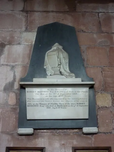
© Alexander P Kapp · Geograph · CC BY-SA 2.0
Images © their respective photographers, licensed under CC BY-SA 2.0 and reused here with attribution. Photographs depict listed buildings, churches and monuments near this settlement and may show neighbouring villages.
Data derived from the Open Domesday project (opendomesday.org), based on the Domesday Book dataset compiled by Professor J.J.N. Palmer and team. The Domesday Book (1086) is in the public domain.
Found an inaccuracy? [email protected]