Barnsley in the Domesday Book (1086)
Barnsley appears in the Domesday Book of 1086, entered under the hundred of Staincross in Yorkshire.
Other Settlements in Staincross
- Adlingfleet
- Barnby [Hall]
- Barugh
- Brierley
- Carlton
- Cawthorne
- Chevet
- Clactone
- Clayton [West]
- Darton
- Dodworth
- Hemsworth
- Hoyland [Swaine]
- Hunshelf [Hall]
The Meaning of the Name
The name Barnsley is of Anglo-Saxon origin. Its final element derives from the Old English word lēah, a woodland clearing or glade. The first element is most likely a personal name or an early descriptive term, now difficult to recover with certainty. Taken together the name probably meant something close to ‘a clearing’.
Remarkably, the name has changed little since 1086, when the Domesday scribes wrote it as Barnsley.
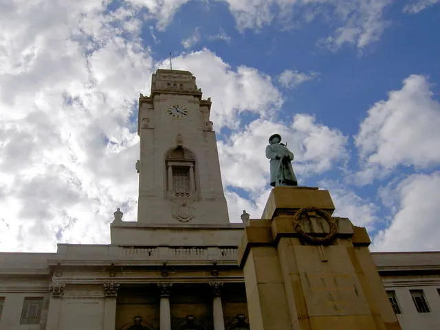
Listed Buildings Near Barnsley
Historic England records 53 listed buildings within about a mile of Barnsley. Listing protects structures of special architectural or historic interest, graded I (exceptional), II* (particularly important) and II.
Grade II*
- Barnsley War Memorial - 0.2 km
Grade II
- The Civic Hall, including 44a, 46, 48, 52, 54 and 56 Eldon Street - 0.04 km
- Queens Court Business Centre and attached railings to front - 0.07 km
- 17 21 and 23, Regent Street - 0.08 km
- Warehouse Building at East End - 0.09 km
- 13 and 15, Regent Street - 0.09 km
- Piers, Wall and Railings to Front Area of Court House Building - 0.1 km
- The Courthouse Station - 0.11 km
- 14 and 16, Regent Street - 0.12 km
- 9, Regent Street - 0.13 km
- The Old Courthouse - 0.14 km
- 5 and 7, Regent Street - 0.14 km
- The White Bear - 0.15 km
- 16, Market Hill - 0.15 km
- 8 AND 10, REGENT STREET (See details for further address information) - 0.15 km
- 12 and 14, Market Hill - 0.15 km
- The Old Post Office (Between Numbers 3 and 5) - 0.15 km
- Former Yorkshire Bank - 0.16 km
- K6 Telephone Kiosk Outside Number 13 (Royal Bank of Scotland) - 0.17 km
- The Old Number 7 Public House - 0.19 km
- 15, Market Hill - 0.19 km
- Yorkshire Bank, Peel Square Including Number 19 Market Hill - 0.19 km
- K6 Telephone Kiosk outside numbers 19-21 (Barnsley Building Society) - 0.2 km
- 1 and 3, Peel Square - 0.2 km
…and 29 more listed structures in the area.
Barnsley Today
Today Barnsley records a population of 245,199 at the 2018 census. Nine and a half centuries separate that figure from the small rural community the Domesday survey recorded here in 1086.
Read more about modern Barnsley on Wikipedia .
Nearby Domesday Settlements
Other places recorded in the 1086 survey within a few miles:
- Monk Bretton - 2.2 km NE
- Keresforth Hall - 2.2 km SW
- Dodworth - 3.2 km W
- Worsborough - 3.2 km S
- Barugh - 3.6 km NW
- Stainborough Castle - 4.2 km SW
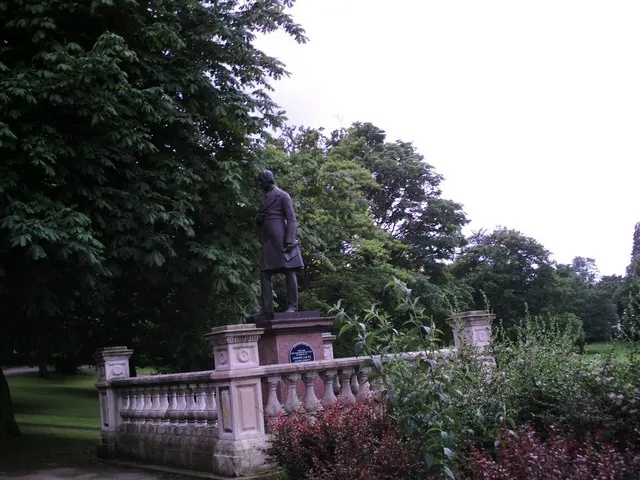
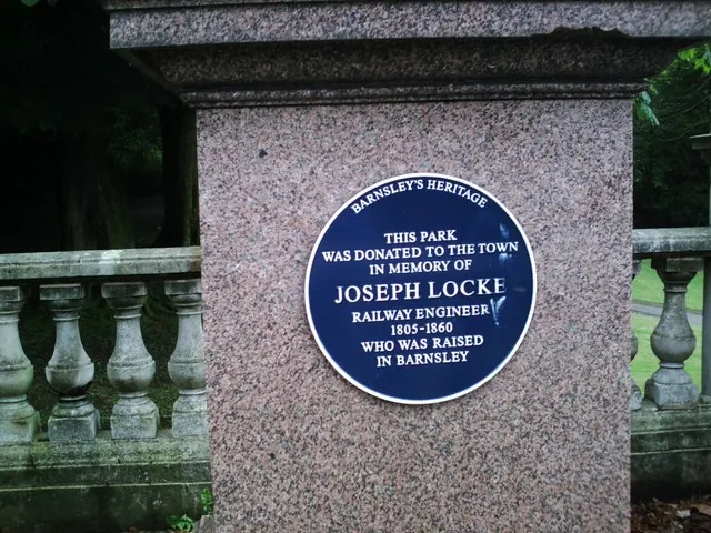
Heritage Around Barnsley
Photographs of churches, listed buildings and monuments in the vicinity, contributed by volunteers to the Geograph project and reused here under a Creative Commons licence.
© Steve Fareham · Geograph · CC BY-SA 2.0
© Peter Beard · Geograph · CC BY-SA 2.0
© Peter Beard · Geograph · CC BY-SA 2.0
Images © their respective photographers, licensed under CC BY-SA 2.0 and reused here with attribution. Photographs depict listed buildings, churches and monuments near this settlement and may show neighbouring villages.
Data derived from the Open Domesday project (opendomesday.org), based on the Domesday Book dataset compiled by Professor J.J.N. Palmer and team. The Domesday Book (1086) is in the public domain.
Found an inaccuracy? [email protected]