Barnoldswick in the Domesday Book (1086)
Barnoldswick appears in the Domesday Book of 1086, entered under the hundred of Craven in Yorkshire. The survey assessed Barnoldswick at 5.4 carucates of taxable land.
At the time of the survey, Barnoldswick supported a recorded population of 11 villagers, 21 smallholders, 3 slaves, 5 freemanmen, working 8 ploughs between them.
By 1086 Barnoldswick was worth 8.41 shillings, up from 4.14 shillings before the Conquest – one of the few settlements in the area to hold its value through the upheaval.
The survey lists 3 manors at Barnoldswick under different lords. Splitting a single settlement between multiple tenants was common across the North – Saxon estates broken up and handed to William’s followers after 1066.
Resources Recorded at Barnoldswick (1086)
- Mills: 1 mill
- Churches: 1
- Cattle: 15
- Pigs: 31
- Horses (cobs): 4
- Meadow: 7 acres
- Woodland: 5 pigs
Other Settlements in Craven
- Addingham
- Airton
- Anley
- Appletreewick
- Arncliffe
- Arnford
- Bashall [Eaves]
- Battersby [Barn]
- Beamsley
- Birkby [Hall]
- Bogeuurde
- Bolton [Abbey]
- Bolton [by Bowland]
- Bordley
The Meaning of the Name
The name Barnoldswick is of Anglo-Saxon origin. Its final element derives from the Old English word wīc, a dwelling, dairy farm or trading settlement. The first element is most likely a personal name or an early descriptive term, now difficult to recover with certainty. Taken together the name probably meant something close to ‘a specialised farm’.
Remarkably, the name has changed little since 1086, when the Domesday scribes wrote it as Barnoldswick.
Listed Buildings Near Barnoldswick
Historic England records 17 listed buildings within about a mile of Barnoldswick. Listing protects structures of special architectural or historic interest, graded I (exceptional), II* (particularly important) and II.
Grade II*
- Independent Methodist Church Including Steps and Railings to Street - 0.05 km
- Coates Hall - 1.27 km
Grade II
- Old Chapel House - 0.08 km
- 15 and 17, King Street - 0.16 km
- 16-26, Town Head - 0.25 km
- Hey Farmhouse - 0.27 km
- Newfield Edge - 0.4 km
- Lower Calf Hall Farmhouse - 0.6 km
- Hen House Farmhouse - 0.8 km
- Barn at Higher Park Farm - 0.99 km
- Mill Close Farmhouse - 1.01 km
- Barn Adjoining Mill Close Farmhouse - 1.02 km
- Leeds and Liverpool Canal Cockshott Bridge - 1.07 km
- Fosters Arms Public House - 1.09 km
- West Close Farmhouse - 1.12 km
- Milestone in South East Corner of Garden at 245 (Lane End Farmhouse) - 1.22 km
- Lane End Farmhouse - 1.23 km
Barnoldswick Today
Today Barnoldswick lies within the administrative area of Pendle, and the settlement recorded a population of 10,915 at the 2021 census. Nine and a half centuries separate that figure from the small rural community the Domesday survey recorded here in 1086.
Read more about modern Barnoldswick on Wikipedia .
Nearby Domesday Settlements
Other places recorded in the 1086 survey within a few miles:
- Bracewell - 2.2 km NW
- Earby - 3.0 km E
- Little Middop - 3.2 km W
- Crooks House - 3.2 km N
- Stock - 3.2 km N
- Kelbrook - 3.6 km SE
Heritage Around Barnoldswick
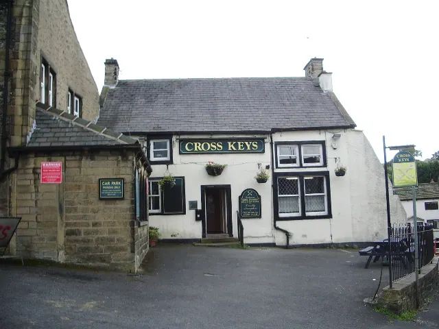
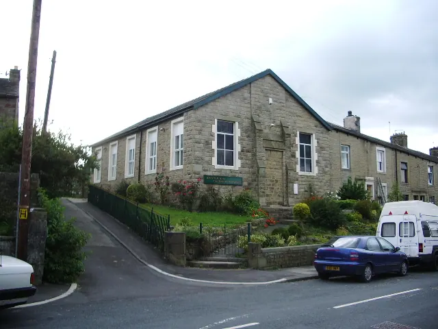
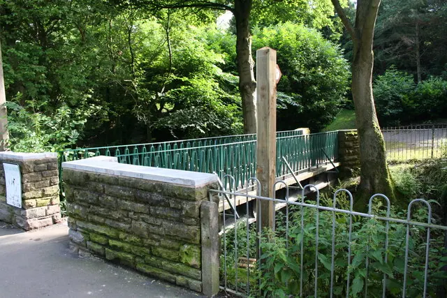
Photographs of churches, listed buildings and monuments in the vicinity, contributed by volunteers to the Geograph project and reused here under a Creative Commons licence.
© Alexander P Kapp · Geograph · CC BY-SA 2.0
© Alexander P Kapp · Geograph · CC BY-SA 2.0
© Dr Neil Clifton · Geograph · CC BY-SA 2.0
Images © their respective photographers, licensed under CC BY-SA 2.0 and reused here with attribution. Photographs depict listed buildings, churches and monuments near this settlement and may show neighbouring villages.
Data derived from the Open Domesday project (opendomesday.org), based on the Domesday Book dataset compiled by Professor J.J.N. Palmer and team. The Domesday Book (1086) is in the public domain.
Found an inaccuracy? [email protected]