Barnby Hall in the Domesday Book (1086)
The 1086 Domesday survey records the settlement of Barnby Hall, entered under the hundred of Staincross in Yorkshire. The survey assessed Barnby Hall at 2 carucates of taxable land.
At the time of the survey, Barnby Hall supported a recorded population of 10 villagers, 12 smallholders, 4 slaves, working 7 ploughs between them.
The survey records Barnby Hall’s value at 4 shillings in 1086. No pre-Conquest figure survives – not unusual in the North, where records were disrupted by the Harrying and by the patchy coverage of the survey.
Resources Recorded at Barnby Hall (1086)
- Cattle: 5
- Sheep: 40
- Meadow: 4 acres
Other Settlements in Staincross
- Adlingfleet
- Barnsley
- Barugh
- Brierley
- Carlton
- Cawthorne
- Chevet
- Clactone
- Clayton [West]
- Darton
- Dodworth
- Hemsworth
- Hoyland [Swaine]
- Hunshelf [Hall]
The Meaning of the Name
The name Barnby Hall is of Scandinavian origin. Its final element derives from the Old Norse word bý, a farmstead or village. The first element is most likely a personal name or an early descriptive term, now difficult to recover with certainty. Taken together the name probably meant something close to ‘a farmstead’.
Names of this type are a fingerprint of Scandinavian settlement: they cluster across the old Danelaw, where Norse-speaking settlers renamed or founded villages from the late 9th century onward.
Remarkably, the name has changed little since 1086, when the Domesday scribes wrote it as Barnby Hall.
Listed Buildings Near Barnby Hall
Historic England records 41 listed buildings within about a mile of Barnby Hall. Listing protects structures of special architectural or historic interest, graded I (exceptional), II* (particularly important) and II.
Grade II
- Kexbrough Bridge Over Cawthorpe Dike - 0.4 km
- Brick Barn at Extreme North East of Barnby Hall Farmyard - 0.43 km
- Workshop at West End of Range Along North Side of Barnby Hall Farm - 0.46 km
- Brick Barn Approximately 50 Metres East of Barnby Hall Farmhouse - 0.47 km
- Milestone Approximately 600 Metres East of Barnby Hall Farm - 0.54 km
- Barnby Hall Including Attached Archway to Left Side - 0.55 km
- Former Aqueduct Over Silkstone Beck at North East End of Former Barnby Basin Approximately 150 Metres North of Barnby Bridge - 0.82 km
- Ha-ha to Front and Garden Wall to Right of Cinder Hill Farmhouse - 0.92 km
- Cinder Hill Farmhouse - 0.94 km
- 31 and 33 Darton Road - 0.97 km
- Well at Side of Road at Number 30 - 0.99 km
- Lion’s Head Drinking Fountain in North Garden Wall of Number 4 - 1.11 km
- Barn along south side of farmyard at Kexbrough Hall Farm - 1.11 km
- Guide Post Opposite East End of Kirkfield Close - 1.13 km
- Golden Cross Cottage - 1.17 km
- K6 Telephone Kiosk Outside Post Office - 1.17 km
- Drinking Fountain adjacent to Number 10 and opposite Number 11 Church Street - 1.18 km
- The Golden Cross - 1.19 km
- Seven Grave Cover Fragments in North Wall of Church Yard Opposite East End of Church of All Saints - 1.19 km
- Pair of Grave Slabs (Shaw, Longley) Approximately 3 Metres East of South Chapel of Church of All Saints - 1.19 km
- Pair of Grave Slabs (Newton Rhoades) Approximately 2 Metres North of Church of All Saints - 1.19 km
- Grave Slab (Hewitt) Approximately 3 Metres South of East End of South Chapel of Church of All Saints - 1.2 km
- Raised Grave Slab (Moakson) Approximately 2.5 Metres South of Parish Rooms in Line With East End of South Chapel of Church of All Saints - 1.2 km
- Pair of Raised Grave Slabs (Turton) Immediately North of Parish Rooms and in Line With East End of South Chapel of Church of All Saints - 1.2 km
…and 17 more listed structures in the area.
Scheduled Monuments Near Barnby Hall
Scheduled monuments are nationally important archaeological sites given legal protection. 1 lies within roughly a mile of Barnby Hall:
Nearby Domesday Settlements
Other places recorded in the 1086 survey within a few miles:
Heritage Around Barnby [Hall]
Photographs of churches, listed buildings and monuments in the vicinity, contributed by volunteers to the Geograph project and reused here under a Creative Commons licence.
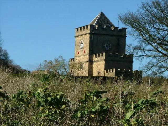
© Nigel Homer · Geograph · CC BY-SA 2.0
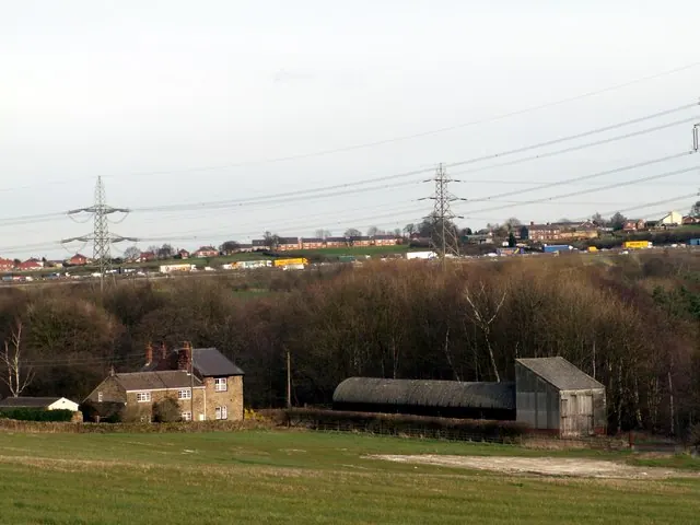
© John Fielding · Geograph · CC BY-SA 2.0
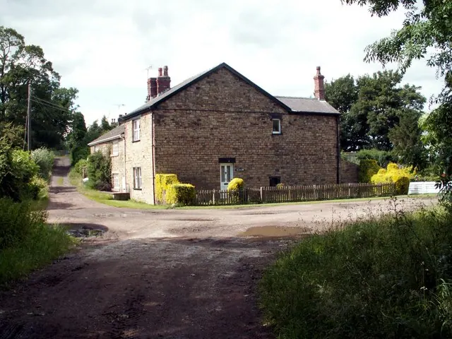
© John Fielding · Geograph · CC BY-SA 2.0
Images © their respective photographers, licensed under CC BY-SA 2.0 and reused here with attribution. Photographs depict listed buildings, churches and monuments near this settlement and may show neighbouring villages.
Data derived from the Open Domesday project (opendomesday.org), based on the Domesday Book dataset compiled by Professor J.J.N. Palmer and team. The Domesday Book (1086) is in the public domain.
Found an inaccuracy? [email protected]