Barnbrough in the Domesday Book (1086)
The settlement of Barnbrough is recorded in William I’s Domesday survey of 1086, entered under the hundred of Strafforth in Yorkshire.
Other Settlements in Strafforth
- Adwick [le Street]
- Adwick [upon Dearne]
- Armthorpe
- Aston
- Attercliffe
- Auckley
- Aughton [Hall]
- Austerfield
- Balby
- Barnby [Dun]
- Bentley
- Bilham [House]
- Billingley
- Bolton [upon Dearne]
The Meaning of the Name
The name Barnbrough is of Anglo-Saxon origin. Its final element derives from the Old English word burh, a fortified place. The first element is most likely a personal name or an early descriptive term, now difficult to recover with certainty. Taken together the name probably meant something close to ‘a stronghold’.
Remarkably, the name has changed little since 1086, when the Domesday scribes wrote it as Barnbrough.
Listed Buildings Near Barnbrough
Historic England records 16 listed buildings within about a mile of Barnbrough. Listing protects structures of special architectural or historic interest, graded I (exceptional), II* (particularly important) and II.
Grade I
- Church of St Peter - 0.32 km
Grade II*
- Barnburgh Hall Dovecote - 0.15 km
Grade II
- Outbuilding Immediately to North East of Hickleton House - 0.09 km
- Garden Wall and Gatepiers to Side of Barnburgh Hall - 0.1 km
- Barnburgh Hall Outhouse - 0.11 km
- Hickleton House Manor Farm - 0.12 km
- Outbuilding Approximately 15 Metres South of Hickleton House - 0.12 km
- Two Barns Opposite Number 3 High Street - 0.14 km
- Smithy Cottage the Cottage - 0.21 km
- The Coach and Horses Public House - 0.22 km
- Barn and Cowhouse With Hayloft Approximately 35 Metres to North West of Plane Tree Farmhouse - 0.26 km
- Green Farmhouse - 0.28 km
- Village Pump to Rear of Number 1 - 0.28 km
- Medieval Stone Coffin Against South Wall of Chancel of Church of St Peter - 0.32 km
- Old Hall - 1.04 km
- Bank End Farmhouse - 1.07 km
Scheduled Monuments Near Barnbrough
Scheduled monuments are nationally important archaeological sites given legal protection. 2 lie within roughly a mile of Barnbrough:
- Dovecote at Barnburgh Hall - 0.15 km
- Site of St Helen’s Chapel - 0.95 km
Nearby Domesday Settlements
Other places recorded in the 1086 survey within a few miles:
- Hickleton - 2.0 km N
- Goldthorpe - 2.2 km NW
- Adwick upon Dearne - 2.2 km SW
- High Melton - 2.8 km SE
- Bilham House - 3.0 km N
- Bolton upon Dearne - 3.2 km W
Heritage Around Barnbrough
Photographs of churches, listed buildings and monuments in the vicinity, contributed by volunteers to the Geograph project and reused here under a Creative Commons licence.
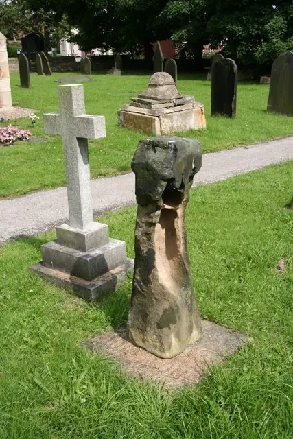
© Richard Croft · Geograph · CC BY-SA 2.0
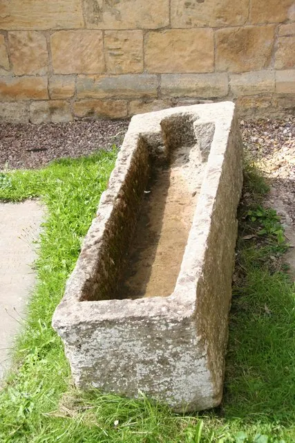
© Richard Croft · Geograph · CC BY-SA 2.0
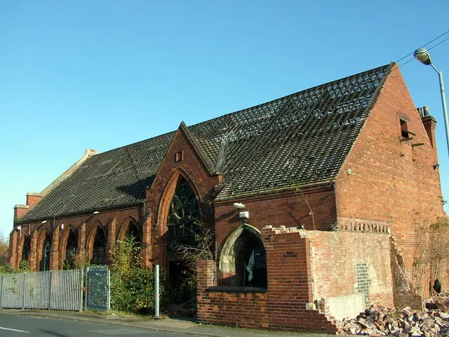
© stephen samson · Geograph · CC BY-SA 2.0
Images © their respective photographers, licensed under CC BY-SA 2.0 and reused here with attribution. Photographs depict listed buildings, churches and monuments near this settlement and may show neighbouring villages.
Data derived from the Open Domesday project (opendomesday.org), based on the Domesday Book dataset compiled by Professor J.J.N. Palmer and team. The Domesday Book (1086) is in the public domain.
Found an inaccuracy? [email protected]