Barnaby in the Domesday Book (1086)
Barnaby appears in the Domesday Book of 1086, entered under the hundred of Langbaurgh in Yorkshire. The survey assessed Barnaby at 4.0 carucates of taxable land.
At the time of the survey, Barnaby supported a recorded population of 5 villagers, 2 smallholders, 4 freemanmen, working 4 ploughs between them.
By 1086 Barnaby was worth 2.5 shillings, up from 2 shillings before the Conquest – one of the few settlements in the area to hold its value through the upheaval.
The survey lists 2 manors at Barnaby under different lords. Splitting a single settlement between multiple tenants was common across the North – Saxon estates broken up and handed to William’s followers after 1066.
Resources Recorded at Barnaby (1086)
- Meadow: 9 acres
Other Settlements in Langbaurgh
- Acklam
- Airy [Holme]
- Aislaby
- Arnodestorp
- Baldebi
- Barwick
- Battersby
- Bergolbi
- Berguluesbi
- Blaten [Carr]
- Borrowby
- Breck
- Brotton
- Caldenesche
The Meaning of the Name
The name Barnaby is of Scandinavian origin. Its final element derives from the Old Norse word bý, a farmstead or village. The first element is most likely a personal name or an early descriptive term, now difficult to recover with certainty. Taken together the name probably meant something close to ‘a farmstead’.
Names of this type are a fingerprint of Scandinavian settlement: they cluster across the old Danelaw, where Norse-speaking settlers renamed or founded villages from the late 9th century onward.
Remarkably, the name has changed little since 1086, when the Domesday scribes wrote it as Barnaby.
Listed Buildings Near Barnaby
Historic England records 5 listed buildings within about a mile of Barnaby. Listing protects structures of special architectural or historic interest, graded I (exceptional), II* (particularly important) and II.
Grade II
- Boundary Stone 1060 Metres to North of Cross Keys Inn at Ngr Nz566 167 - 0.98 km
- Boundary Stone, Approximately 870 Metres to North of Cross Keys Inn, at Ngr Nz566165 - 0.98 km
- Boundary Stone 1010 Metres to North of Cross Keys Inn, at Ngr Nz566167 - 1.02 km
- Pair of Marker Stones, 2 Metres to South of Scugdale Farmhouse - 1.11 km
- Boundary Stone 1280 Metres to North of Cross Keys Inn at Ngr Nz565 169 - 1.14 km
Scheduled Monuments Near Barnaby
Scheduled monuments are nationally important archaeological sites given legal protection. 2 lie within roughly a mile of Barnaby:
- Bowl barrow on Eston Moor, 1.45km west of High Barnaby Farm - 1.47 km
- Bowl barrow 450m north-west of High Court Green - 1.51 km
Nearby Domesday Settlements
Other places recorded in the 1086 survey within a few miles:
- Upsall Hall - 1.0 km W
- Pinchinthorpe Hall - 2.0 km S
- Morton Grange - 2.8 km SW
- Eston - 2.8 km NW
- Lazenby - 3.0 km N
- Wilton - 3.2 km N
Heritage Around Barnaby
Photographs of churches, listed buildings and monuments in the vicinity, contributed by volunteers to the Geograph project and reused here under a Creative Commons licence.
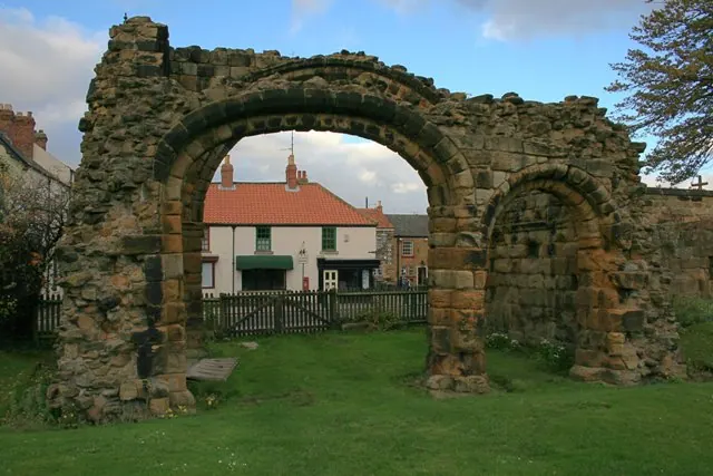
© Mick Garratt · Geograph · CC BY-SA 2.0
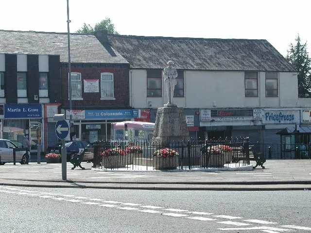
© Rob Pollard · Geograph · CC BY-SA 2.0
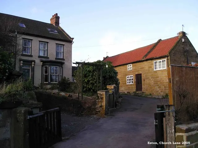
© Mike Guess · Geograph · CC BY-SA 2.0
Images © their respective photographers, licensed under CC BY-SA 2.0 and reused here with attribution. Photographs depict listed buildings, churches and monuments near this settlement and may show neighbouring villages.
Data derived from the Open Domesday project (opendomesday.org), based on the Domesday Book dataset compiled by Professor J.J.N. Palmer and team. The Domesday Book (1086) is in the public domain.
Found an inaccuracy? [email protected]