Barmby Moor in the Domesday Book (1086)
The 1086 Domesday survey records the settlement of Barmby Moor, entered under the hundred of Pocklington in Yorkshire. The survey assessed Barmby Moor at 5 carucates of taxable land.
At the time of the survey, Barmby Moor supported a recorded population of 5 villagers, 2 smallholders, working 2 ploughs between them.
The drop in value is hard to miss. Before 1066, Barmby Moor was worth 1 shilling; by 1086 that had dropped to 13d – a fall of 35%. Most Yorkshire villages that lost value on this scale were swept up in the Harrying of the North – William’s scorched-earth campaign of 1069–70.
Other Settlements in Pocklington
- Allerthorpe
- Belthorpe
- Bielby
- Bolton
- Burnby
- Chetelstorp
- Deighton
- Elvington
- Escrick
- Everingham
- Fangfoss
- Gowthorpe
- Greenwick
- Hayton
The Meaning of the Name
The name Barmby Moor is of Scandinavian origin. Its final element derives from the Old Norse word bý, a farmstead or village. The first element is most likely a personal name or an early descriptive term, now difficult to recover with certainty. Taken together the name probably meant something close to ‘a farmstead’.
Names of this type are a fingerprint of Scandinavian settlement: they cluster across the old Danelaw, where Norse-speaking settlers renamed or founded villages from the late 9th century onward.
Remarkably, the name has changed little since 1086, when the Domesday scribes wrote it as Barmby Moor.
Listed Buildings Near Barmby Moor
Historic England records 5 listed buildings within about a mile of Barmby Moor. Listing protects structures of special architectural or historic interest, graded I (exceptional), II* (particularly important) and II.
Grade II*
- Church of St Catherine - 0.47 km
- The Manor House - 0.48 km
Grade II
- Barmby Moor House Hotel - 0.28 km
- Laurels Farmhouse - 0.6 km
- The Laurels - 0.61 km
Barmby Moor Today
Today Barmby Moor lies within the administrative area of East Riding of Yorkshire, and the settlement recorded a population of 1,205 at the 2021 census. Nine and a half centuries separate that figure from the small rural community the Domesday survey recorded here in 1086.
Read more about modern Barmby Moor on Wikipedia .
Nearby Domesday Settlements
Other places recorded in the 1086 survey within a few miles:
- Waplington Hall - 2.0 km S
- Pocklington - 3.0 km E
- Thornton - 3.6 km SW
- Bolton - 4.0 km N
- Yapham - 4.1 km N
- Allerthorpe - 4.1 km S
Heritage Around Barmby [Moor]
Photographs of churches, listed buildings and monuments in the vicinity, contributed by volunteers to the Geograph project and reused here under a Creative Commons licence.
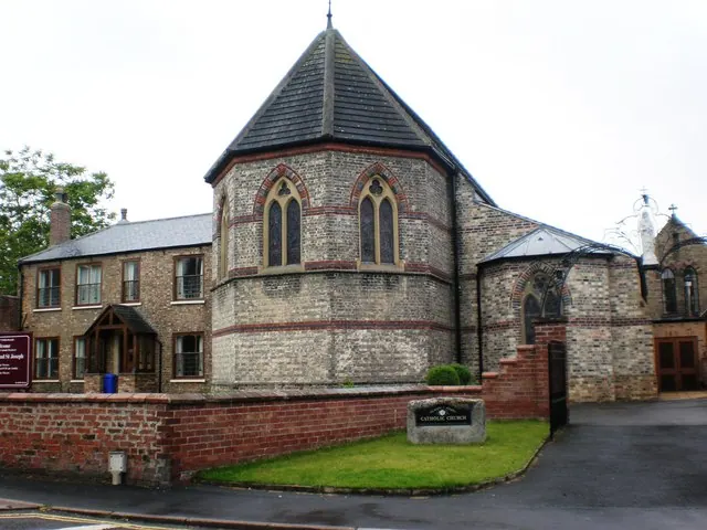
© Dr Patty McAlpin · Geograph · CC BY-SA 2.0
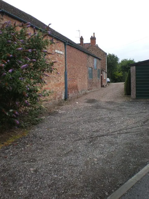
© Dr Patty McAlpin · Geograph · CC BY-SA 2.0
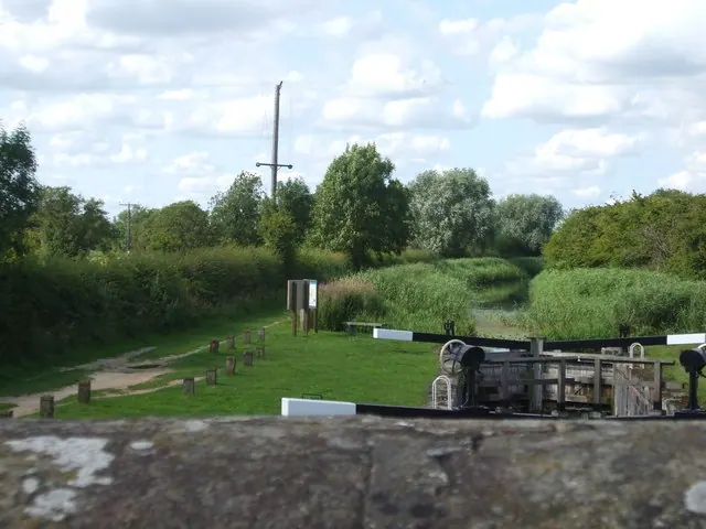
© Glyn Drury · Geograph · CC BY-SA 2.0
Images © their respective photographers, licensed under CC BY-SA 2.0 and reused here with attribution. Photographs depict listed buildings, churches and monuments near this settlement and may show neighbouring villages.
Data derived from the Open Domesday project (opendomesday.org), based on the Domesday Book dataset compiled by Professor J.J.N. Palmer and team. The Domesday Book (1086) is in the public domain.
Found an inaccuracy? [email protected]