Barlborough in the Domesday Book (1086)
The 1086 Domesday survey records the settlement of Barlborough, entered under the hundred of Scarsdale in Derbyshire.
Other Settlements in Scarsdale
- Alfreton
- Ashover
- Barlow
- Beighton
- Blingsby
- Bolsover
- Boythorpe
- Bramley [Vale]
- Brimington
- Calow
- Chesterfield
- Clowne
- Dore
- Dronfield
The Meaning of the Name
The name Barlborough is of Anglo-Saxon origin. Its final element derives from the Old English word burh, a fortified place. The first element is most likely a personal name or an early descriptive term, now difficult to recover with certainty. Taken together the name probably meant something close to ‘a stronghold’.
Remarkably, the name has changed little since 1086, when the Domesday scribes wrote it as Barlborough.
Listed Buildings Near Barlborough
Historic England records 24 listed buildings within about a mile of Barlborough. Listing protects structures of special architectural or historic interest, graded I (exceptional), II* (particularly important) and II.
Grade I
- Barlborough Hall - 0.81 km
Grade II*
- Barlborough Old Hall - 0.17 km
- Village Cross - 0.19 km
- Church of St James - 0.29 km
- Gazebo at Barlborough Hall - 0.8 km
Grade II
- Lodge to Barlborough Hall - 0.05 km
- Barlborough Infants School - 0.11 km
- Park Street Farmhouse - 0.13 km
- Stone Gateway and Attached Wall at Entrance to Memorial Gardens - 0.19 km
- 1-3, Church Street - 0.2 km
- 2, Church Street - 0.23 km
- Coach House to North West of Barlborough House - 0.31 km
- Wall, Railings and Gatepiers to North of Barlborough House - 0.31 km
- Barlborough House - 0.32 km
- The Pole Almshouses - 0.34 km
- The Old Rectory - 0.35 km
- 7 and 9, Church Street - 0.36 km
- 11 and 13, Church Street - 0.37 km
- Stone Croft - 0.39 km
- Clowne Fields Farmhouse - 0.48 km
- Stone Memorial - 0.62 km
- Crenellated Stone Memorial - 0.63 km
- Stable block at Barlborough Hall - 0.79 km
- Gate piers to east of Barlborough Hall - 0.81 km
Scheduled Monuments Near Barlborough
Scheduled monuments are nationally important archaeological sites given legal protection. 1 lies within roughly a mile of Barlborough:
- Standing cross - 0.19 km
Barlborough Today
Today Barlborough lies within the administrative area of Bolsover, and the settlement recorded a population of 3,140 at the 2021 census. Nine and a half centuries separate that figure from the small rural community the Domesday survey recorded here in 1086.
Read more about modern Barlborough on Wikipedia .
Nearby Domesday Settlements
Other places recorded in the 1086 survey within a few miles:
Heritage Around Barlborough
Photographs of churches, listed buildings and monuments in the vicinity, contributed by volunteers to the Geograph project and reused here under a Creative Commons licence.
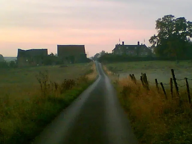
© Tim Marchant · Geograph · CC BY-SA 2.0
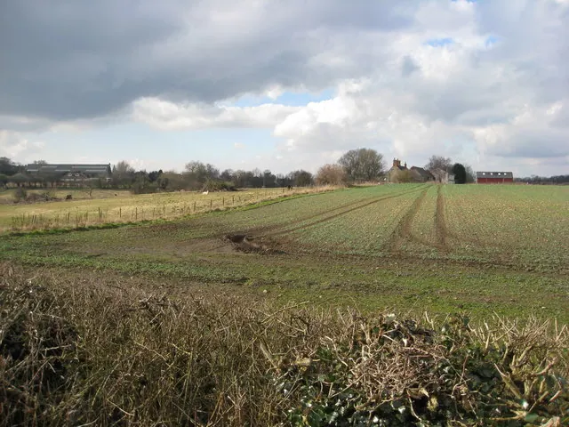
© Alan Heardman · Geograph · CC BY-SA 2.0
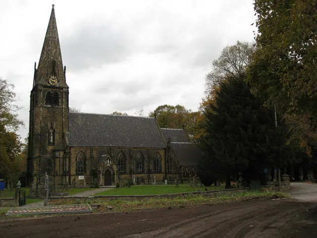
© Alan Heardman · Geograph · CC BY-SA 2.0
Images © their respective photographers, licensed under CC BY-SA 2.0 and reused here with attribution. Photographs depict listed buildings, churches and monuments near this settlement and may show neighbouring villages.
Data derived from the Open Domesday project (opendomesday.org), based on the Domesday Book dataset compiled by Professor J.J.N. Palmer and team. The Domesday Book (1086) is in the public domain.
Found an inaccuracy? [email protected]