Barkston in the Domesday Book (1086)
Barkston appears in the Domesday Book of 1086, entered under the hundred of Barkston in Yorkshire.
Other Settlements in Barkston
- Barlow
- Birkin
- Bramham
- Brayton
- Burton [Hall]
- Camblesforth
- Carlton
- Clifford
- Drax
- Fairburn
- Grimston [Grange]
- Hambleton
- Hazelwood [Castle]
- Hunchilhuse
The Meaning of the Name
The name Barkston is of Anglo-Saxon origin. Its final element derives from the Old English word tūn, a farmstead or village. The first element is most likely a personal name or an early descriptive term, now difficult to recover with certainty. Taken together the name probably meant something close to ‘a farmstead’.
Remarkably, the name has changed little since 1086, when the Domesday scribes wrote it as Barkston.
Listed Buildings Near Barkston
Historic England records 10 listed buildings within about a mile of Barkston. Listing protects structures of special architectural or historic interest, graded I (exceptional), II* (particularly important) and II.
Grade II
- The Church of the Immaculate Conception St John the Worker - 0.55 km
- Turpin Hall Farm - 0.59 km
- Barkston House - 0.62 km
- Laurel Farm - 0.66 km
- Scarthingwell Lodge - 0.72 km
- Village Cross at Junction With Headwell Lane - 0.74 km
- East Range of Farmbuildings at Scarthingwell Hall Farm - 0.74 km
- West Range of Farmbuildings at Scarthingwell Hall Farm - 0.75 km
- Barn at Scarthingwell Hall Farm - 0.76 km
- Milestone Approimately 500 Metres South of Junction With Scarthingwell Lane - 0.78 km
Barkston Today
Today Barkston lies within the administrative area of Selby, and the settlement recorded a population of 360 at the 2021 census. Nine and a half centuries separate that figure from the small rural community the Domesday survey recorded here in 1086.
Read more about modern Barkston Ash on Wikipedia .
Nearby Domesday Settlements
Other places recorded in the 1086 survey within a few miles:
- Saxton - 2.0 km W
- Lead - 3.0 km W
- Church and Little Fenton - 3.2 km E
- North Milford Hall - 3.2 km N
- Hunchilhuse - 3.2 km S
- Hunchilhuses - 3.2 km S
Heritage Around Barkston
Photographs of churches, listed buildings and monuments in the vicinity, contributed by volunteers to the Geograph project and reused here under a Creative Commons licence.
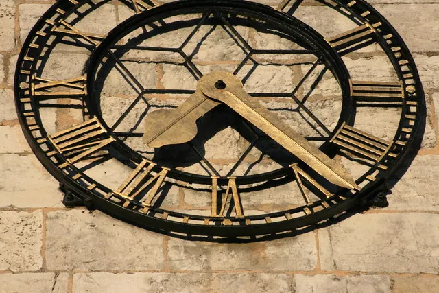
© I Love Colour · Geograph · CC BY-SA 2.0
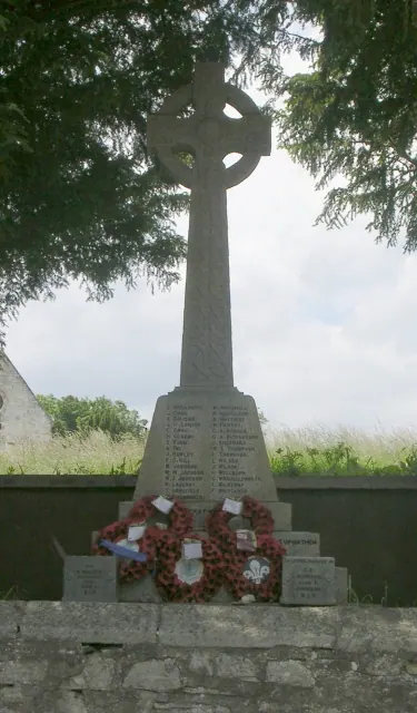
© Betty Longbottom · Geograph · CC BY-SA 2.0
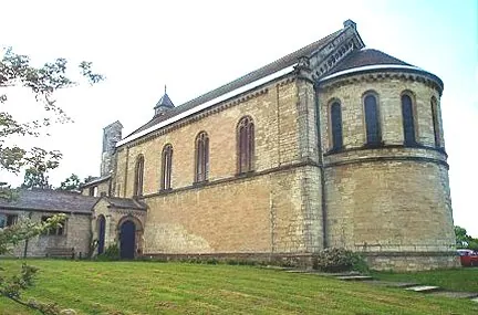
© Bill Henderson · Geograph · CC BY-SA 2.0
Images © their respective photographers, licensed under CC BY-SA 2.0 and reused here with attribution. Photographs depict listed buildings, churches and monuments near this settlement and may show neighbouring villages.
Data derived from the Open Domesday project (opendomesday.org), based on the Domesday Book dataset compiled by Professor J.J.N. Palmer and team. The Domesday Book (1086) is in the public domain.
Found an inaccuracy? [email protected]