Bardsey in the Domesday Book (1086)
Bardsey appears in the Domesday Book of 1086, entered under the hundred of Skyrack in Yorkshire.
Other Settlements in Skyrack
- Adel
- Allerton [Bywater]
- Alwoodley
- Arthington
- Austhorpe
- Baildon
- Barwick [in Elmet]
- Bichertun
- Bicherun
- Bingley
- Birkby [Hill]
- Bramhope
- Burden [Head]
- Burley [in Wharfedale]
The Meaning of the Name
The origin of the name Bardsey is not securely established from its modern form alone; like many settlement names in the North it likely combines an Old English or Old Norse personal name with a landscape term.
Remarkably, the name has changed little since 1086, when the Domesday scribes wrote it as Bardsey.
Listed Buildings Near Bardsey
Historic England records 22 listed buildings within about a mile of Bardsey. Listing protects structures of special architectural or historic interest, graded I (exceptional), II* (particularly important) and II.
Grade I
- Church of All Hallows - 0.35 km
Grade II
- Cowhouse and Granary to North West of Bardsey Grange - 0.09 km
- Barn and Ancillary Outbuilding to North West of Bardsey Grange - 0.1 km
- Bardsey Grange and Congreve Cottage Including Wall Attached to Rear - 0.14 km
- Sundial Approximately 5 Metres South of Porch of Church of All Hallows - 0.37 km
- Ghyll Cottage - 0.39 km
- Oak Tree Cottage - 0.49 km
- Smallfield Cottage - 0.5 km
- Bingley Arms - 0.56 km
- Mizpah Cottage - 0.72 km
- Barn Approximately 20 Metres West of Rigton Farmhouse - 0.72 km
- East Rigton Farmhouse - 0.76 km
- Two Attached Barns to Rear of Hill Top Farmhouse - 0.81 km
- Child’s Farm Barn - 0.84 km
- Bardsey Lodge - 0.96 km
- The Old Star - 0.99 km
- Milestone Approximately 50 Metres North of Junction With Second Avenue - 1.13 km
- One Up, One Down Cottage at Junction With Church Drive - 1.16 km
- The Old Parsonage - 1.2 km
- Stocks Hill Cottage Wayside Cottage - 1.21 km
- Manor House Farmhouse - 1.22 km
- Barn Approximately 1.5 Metres North West of Rear of Manor Farmhouse - 1.23 km
Scheduled Monuments Near Bardsey
Scheduled monuments are nationally important archaeological sites given legal protection. 1 lies within roughly a mile of Bardsey:
- Castle Hill motte and bailey castle - 0.14 km
Bardsey Today
Today Bardsey lies within the administrative area of Bardsey cum Rigton.
Read more about modern Bardsey on Wikipedia .
Nearby Domesday Settlements
Other places recorded in the 1086 survey within a few miles:
- East Rigton - 1.0 km E
- East Keswick - 1.0 km N
- Compton - 3.2 km E
- Wike - 3.2 km W
- Thorner - 3.2 km S
- Wheatcroft - 3.2 km S
Heritage Around Bardsey
Photographs of churches, listed buildings and monuments in the vicinity, contributed by volunteers to the Geograph project and reused here under a Creative Commons licence.
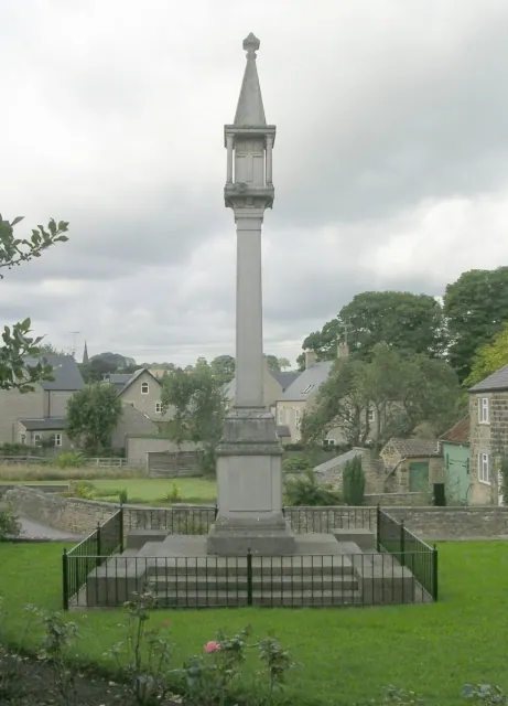
© Betty Longbottom · Geograph · CC BY-SA 2.0
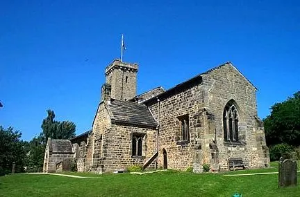
© Bill Henderson · Geograph · CC BY-SA 2.0
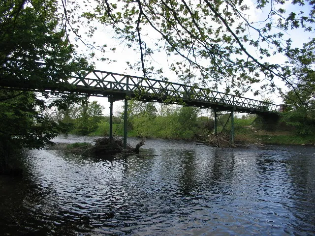
© Martin Norman · Geograph · CC BY-SA 2.0
Images © their respective photographers, licensed under CC BY-SA 2.0 and reused here with attribution. Photographs depict listed buildings, churches and monuments near this settlement and may show neighbouring villages.
Data derived from the Open Domesday project (opendomesday.org), based on the Domesday Book dataset compiled by Professor J.J.N. Palmer and team. The Domesday Book (1086) is in the public domain.
Found an inaccuracy? [email protected]