Barbon in the Domesday Book (1086)
Barbon appears in the Domesday Book of 1086, entered under the hundred of Amounderness in Yorkshire.
Other Settlements in Amounderness
- Aighton
- Aldcliffe
- Aldingham
- Arkholme
- Aschebi
- Ashton [Hall]
- Ashton [on Ribble]
- Austwick
- Bardsea
- Bare
- Barnoldswick
- Barton
- Beetham
- Bispham
The Meaning of the Name
The origin of the name Barbon is not securely established from its modern form alone; like many settlement names in the North it likely combines an Old English or Old Norse personal name with a landscape term.
Remarkably, the name has changed little since 1086, when the Domesday scribes wrote it as Barbon.
Listed Buildings Near Barbon
Historic England records 12 listed buildings within about a mile of Barbon. Listing protects structures of special architectural or historic interest, graded I (exceptional), II* (particularly important) and II.
Grade II*
- Church of St Bartholomew - 0.54 km
- Beckside House - 0.92 km
Grade II
- High Bank House - 0.3 km
- Kennels to South-west of Barbon Manor - 0.32 km
- Barbon Manor - 0.49 km
- Stocks Garth and Attached Barn - 0.75 km
- Beckgate Head Attached Barn and Gategarth - 0.79 km
- Beckgate Bridge - 0.85 km
- Low Bank House and Attached Barn - 0.88 km
- Dunroamin and Boxtree Cottage - 1.06 km
- Stables House and Garden Wall Immediately to North East of Whelprigg - 1.14 km
- Whelprigg - 1.21 km
Scheduled Monuments Near Barbon
Scheduled monuments are nationally important archaeological sites given legal protection. 3 lie within roughly a mile of Barbon:
- Gawklands Romano-British farmstead 200m east of Yewtree - 1.07 km
- Howerigg settlement - 1.23 km
- Hodge Bridge - 1.32 km
Nearby Domesday Settlements
Other places recorded in the 1086 survey within a few miles:
- Casterton - 3.2 km S
- Kirkby Lonsdale - 3.6 km SW
- Mansergh - 4.0 km W
- Middleton Hall - 5.1 km N
- Thirnby Wood - 5.4 km S
- Lower Leck - 6.1 km S
Heritage Around Barbon
Photographs of churches, listed buildings and monuments in the vicinity, contributed by volunteers to the Geograph project and reused here under a Creative Commons licence.
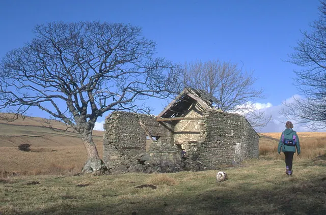
© Tom Richardson · Geograph · CC BY-SA 2.0
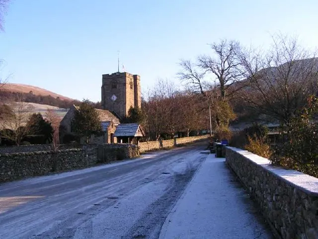
© Simon · Geograph · CC BY-SA 2.0
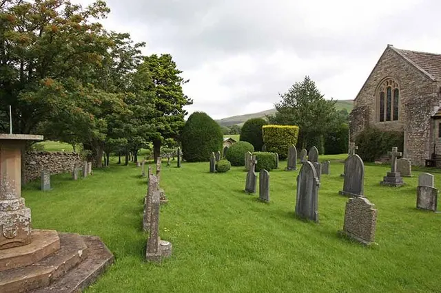
© John Salmon · Geograph · CC BY-SA 2.0
Images © their respective photographers, licensed under CC BY-SA 2.0 and reused here with attribution. Photographs depict listed buildings, churches and monuments near this settlement and may show neighbouring villages.
Data derived from the Open Domesday project (opendomesday.org), based on the Domesday Book dataset compiled by Professor J.J.N. Palmer and team. The Domesday Book (1086) is in the public domain.
Found an inaccuracy? [email protected]