Bank Newton in the Domesday Book (1086)
The 1086 Domesday survey records the settlement of Bank Newton, entered under the hundred of Craven in Yorkshire.
Other Settlements in Craven
- Addingham
- Airton
- Anley
- Appletreewick
- Arncliffe
- Arnford
- Barnoldswick
- Bashall [Eaves]
- Battersby [Barn]
- Beamsley
- Birkby [Hall]
- Bogeuurde
- Bolton [Abbey]
- Bolton [by Bowland]
The Meaning of the Name
The name Bank Newton is of Anglo-Saxon origin. Its final element derives from the Old English word tūn, a farmstead or village, while the first element appears to represent the new. Taken together the name probably meant something close to ’the new farmstead’.
Remarkably, the name has changed little since 1086, when the Domesday scribes wrote it as Bank Newton.
Listed Buildings Near Bank Newton
Historic England records 19 listed buildings within about a mile of Bank Newton. Listing protects structures of special architectural or historic interest, graded I (exceptional), II* (particularly important) and II.
Grade II*
- Barn to North West of Newton Hall - 0.76 km
- Newton Hall - 0.76 km
Grade II
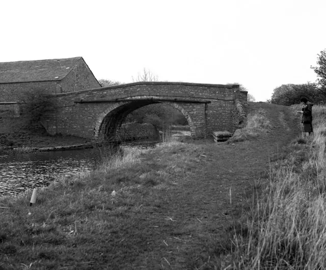
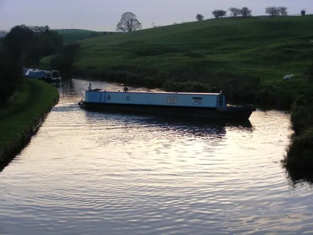
- Leeds and Liverpool Canal Bank Newton 6Th Lock - 0.21 km
- Leeds and Liverpool Canal: Priest Holme Bridge, Number 168 - 0.3 km
- Leeds and Liverpool Canal Bank Newton 5Th Lock Bridge Number 167 - 0.31 km
- Leeds and Liverpool Canal Aqueduct at Priest Holme - 0.37 km
- Leeds and Liverpool Canal Bank Newton 4Th Lock - 0.42 km
- Leeds and Liverpool Canal Bank Newton 3Rd Lock - 0.5 km
- Leeds and Liverpool Canal Steg Neck Lock and Bridge Number 169 - 0.56 km
- Leeds and Liverpool Canal Bank Newton 2Nd Lock and Bridge Number 166 - 0.59 km
- Leeds and Liverpool Canal Bank Newton 1St Lock - 0.72 km
- Leeds and Liverpool Canal Bridge number 165 - 0.74 km
- Cross Gates Farmhouse - 0.75 km
- Leeds and Liverpool Canal Scarland Lock - 0.87 km
- Milton House - 1.02 km
- Outbuilding at Newton Grange Farm, 30 Metres North East of Farmhouse - 1.04 km
- Leeds and Liverpool Canal Newton Bridge Number 164 - 1.05 km
- Newton Grange Farmhouse - 1.11 km
- Leeds and Liverpool Canal Anchor Lock - 1.17 km
Scheduled Monuments Near Bank Newton
Scheduled monuments are nationally important archaeological sites given legal protection. 1 lies within roughly a mile of Bank Newton:
- Moated site W of Paget Hall - 1.49 km
Bank Newton Today
Today Bank Newton lies within the administrative area of Craven, and the settlement recorded a population of 64 at the 2021 census. Nine and a half centuries separate that figure from the small rural community the Domesday survey recorded here in 1086.
Read more about modern Bank Newton on Wikipedia .
Nearby Domesday Settlements
Other places recorded in the 1086 survey within a few miles:
- Little Stainton - 2.0 km W
- Gargrave - 2.0 km E
- Ingthorpe Grange - 2.2 km SW
- Coniston Cold - 2.2 km NW
- Holme House - 3.2 km E
- Broughton - 3.6 km SE
Heritage Around [Bank] Newton
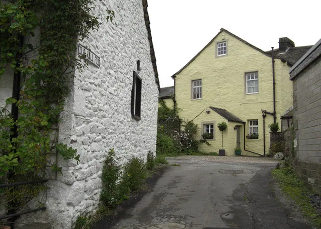
Photographs of churches, listed buildings and monuments in the vicinity, contributed by volunteers to the Geograph project and reused here under a Creative Commons licence.
© michael ely · Geograph · CC BY-SA 2.0
© Dr Neil Clifton · Geograph · CC BY-SA 2.0
© Allan Friswell · Geograph · CC BY-SA 2.0
Images © their respective photographers, licensed under CC BY-SA 2.0 and reused here with attribution. Photographs depict listed buildings, churches and monuments near this settlement and may show neighbouring villages.
Data derived from the Open Domesday project (opendomesday.org), based on the Domesday Book dataset compiled by Professor J.J.N. Palmer and team. The Domesday Book (1086) is in the public domain.
Found an inaccuracy? [email protected]